2000s (21st Century) Maps of Mammoth Lakes, California
Explore 24 historic maps of Mammoth Lakes from the 2000s (21st Century). These maps offer a rare glimpse into what life looked like during the 2000s — showing old roads, neighborhoods, homes, and landmarks that have changed or disappeared over time.
Whether you're researching your family's past, planning a metal detecting trip, or studying how Mammoth Lakes's landscape evolved across the 2000s, these high-resolution maps are a powerful tool for exploring the history of this region.
- Focus on a specific era: All maps on this page are from the 2000s, giving you a focused view of this time period.
- See what’s changed: Compare century-old streets, trails, and buildings to today's modern landscape using overlays and satellite layers.
- Research with precision: Use these maps for genealogy, historical research, land use analysis, or educational projects.
- View, download, or print: Maps are fully viewable online in high resolution, and can be downloaded or printed for your own records.
Start exploring Mammoth Lakes's history through authentic maps from the 2000s. This is your window into the past.
Mammoth Lakes, CA maps
(24)- 2012 Map of Convict Lake, 2012 Print
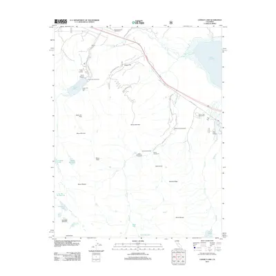 2012 Convict Lake2012 Print · USGSThe high Sierra peaks and alpine basins of Mono County are captured here in the early twenty-first century. Researchers can trace the network of trails and campsites around Convict Lake, Tobacco Flat, and the rugged slopes of Mount Morrison.
 - 2012 Map of Old Mammoth, 2012 Print
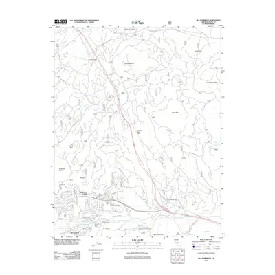 2012 Old Mammoth2012 Print · USGSMammoth Lakes and the surrounding Mono County high country are captured here in the early 2000s as recreation and geothermal activity define the landscape. Researchers can trace old ranching outposts like Arcularius Ranch and modern landmarks like Casa Diablo Hot Springs or Old Mammoth.
 - 2012 Map of Whitmore Hot Springs, 2012 Print
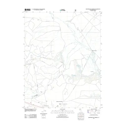 2012 Whitmore Hot Springs2012 Print · USGSThe Eastern Sierra basin near Mammoth Lakes comes into focus during this period of the early twenty-first century. Researchers can trace the water systems of Big Alkali Lake and locate landmarks like the Hot Creek State Fish Hatchery and Whitmore Hot Springs.
 - 2012 Map of Bloody Mountain, 2012 Print
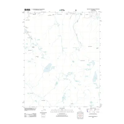 2012 Bloody Mountain2012 Print · USGSThe high Sierra peaks and alpine basins near Old Mammoth are captured here during the early 2010s. Trace the network of mountain trails and recreation sites like the Los Angeles Y M C A Camp, Duck Lake, and the Mammoth Motorcross Track.
 - 2012 Map of Mammoth Mountain, 2012 Print
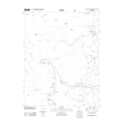 2012 Mammoth Mountain2012 Print · USGSThe eastern Sierra Nevada recreation landscape is captured here in the early twenty-first century. Outdoorsmen and historians can trace trailheads for the John Muir Trail and sites like Agnew Meadows and Minaret Summit.
 - 2012 Map of Crystal Crag, 2012 Print
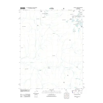 2012 Crystal Crag2012 Print · USGSThe eastern Sierra Nevada comes into focus in this detailed modern survey of the Mammoth Lakes backcountry. Researchers can map out the relationship between geothermal sites like Reds Meadow Hot Springs and landmarks such as Devils Postpile and Crystal Crag.
 - 2015 Map of Whitmore Hot Springs, 2015 Print
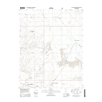 2015 Whitmore Hot Springs2015 Print · USGSThe high desert and geothermal basins of Mono County are revealed here in the mid-2010s, centered on the Long Valley caldera. Researchers can trace the hydrography of Hot Cr, locate the remote Whitmore Tub, and map the roads surrounding Benton Crossing.
 - 2015 Map of Convict Lake, 2015 Print
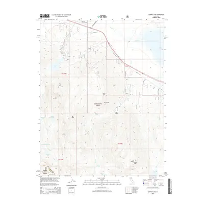 2015 Convict Lake2015 Print · USGSThe eastern Sierra Nevada high country near Mammoth Lakes is shown here in the mid-2010s, from the shores of Lake Crowley to the granite peaks. Researchers can trace alpine trails and landmarks like Convict Lake, Tobacco Flat, and the falls at Horsetail Falls.
 - 2015 Map of Old Mammoth, 2015 Print
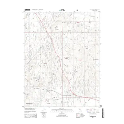 2015 Old Mammoth2015 Print · USGSThe eastern Sierra high country around Mammoth Lakes is documented here during its mid-2010s expansion. Researchers can trace historical routes through Old Mammoth and locate geologic landmarks like Earthquake Dome and the Long Valley Caldera.
 - 2015 Map of Mammoth Mountain, 2015 Print
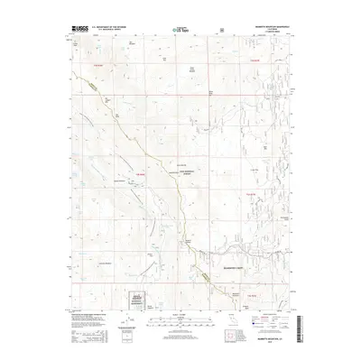 2015 Mammoth Mountain2015 Print · USGSThe high Sierra peaks and volcanic craters come into focus in this modern survey of the Mammoth Lakes region. Researchers can trace the Pacific Crest National Scenic Trail through Agnew Meadows and the geological marvels of Devils Postpile.
 - 2015 Map of Crystal Crag, 2015 Print
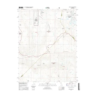 2015 Crystal Crag2015 Print · USGSThe High Sierra near Mammoth Lakes is captured here in the mid-2010s, showing the intersection of alpine recreation and geological wonders. Hikers and historians can trace the Pacific Crest National Scenic Trail past Devils Postpile and the waters of Lake Mary.
 - 2015 Map of Bloody Mountain, 2015 Print
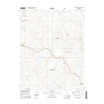 2015 Bloody Mountain2015 Print · USGSMammoth Lakes and the surrounding High Sierra peaks are captured here in the mid-2010s, showing the transition from resort base to wilderness. Researchers can trace the high-altitude Pacific Crest National Scenic Trail as it passes Duck Lake and the steep slopes of Bloody Mountain.
 - 2018 Map of Crystal Crag, 2018 Print
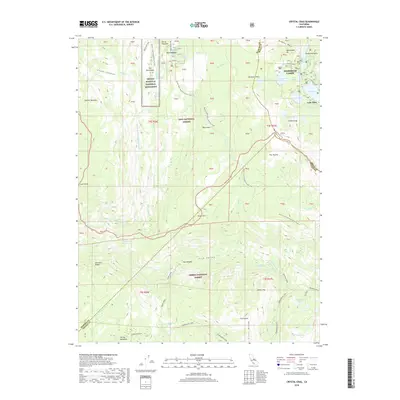 2018 Crystal Crag2018 Print · USGSThe High Sierra backcountry near Mammoth Lakes reveals a landscape of volcanic cones and alpine basins during the late 2010s. Researchers can trace the Pacific Crest National Scenic Trail as it passes Devils Postpile National Monument and the remote Iva Bell Hot Springs.
 - 2018 Map of Old Mammoth, 2018 Print
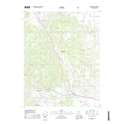 2018 Old Mammoth2018 Print · USGSMammoth Lakes and the eastern Sierra peaks appear in great detail during the late twenty-teens. Researchers can trace the development of Old Mammoth and locate historical sites like the Old CCC Camp or the volcanic heights of Earthquake Dome.
 - 2018 Map of Whitmore Hot Springs, 2018 Print
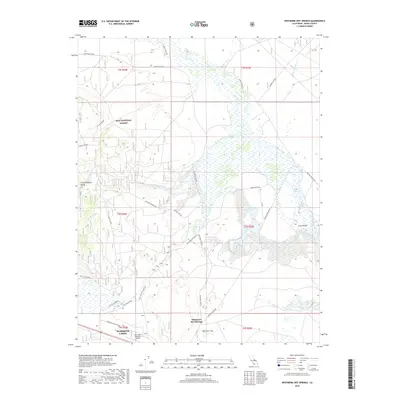 2018 Whitmore Hot Springs2018 Print · USGSMono County's high desert landscape and geothermal features are captured here in the years following the millennium. Genealogists and local historians can locate Whitmore Hot Springs, trace the Owens River, and find the Whitmore Tub near Long Valley.
 - 2018 Map of Convict Lake, 2018 Print
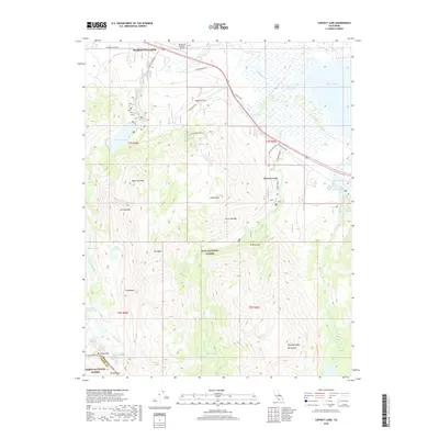 2018 Convict Lake2018 Print · USGSMono County's high Sierra peaks and alpine basins are captured here during the late 2010s. Researchers can trace the rugged access roads leading to Convict Lake or locate named landmarks like Mono Jim Peak and the remote McGee Pass.
 - 2018 Map of Mammoth Mountain, 2018 Print
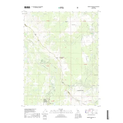 2018 Mammoth Mountain2018 Print · USGSThe High Sierra backcountry near Mammoth Lakes is captured here during a period of heavy recreational use. Researchers can trace the rugged Pacific Crest Trail and locate iconic landmarks like Devils Postpile and Agnew Meadows.
 - 2018 Map of Bloody Mountain, 2018 Print
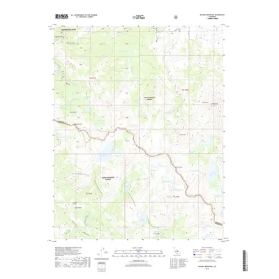 2018 Bloody Mountain2018 Print · USGSThe high Sierra near Mammoth Lakes is captured here in the late 2010s, showing the intersection of alpine wilderness and mountain recreation. Researchers can trace the path of the Pacific Crest National Scenic Trail past Duck Lake and Tully Hole.
 - 2021 Map of Whitmore Hot Springs, 2021 Print
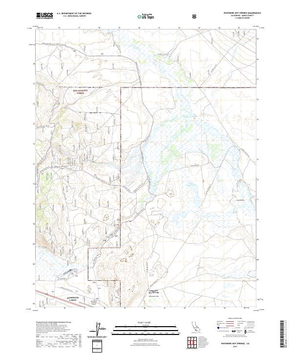 2021 Whitmore Hot Springs2021 Print · USGSEastern Sierra Nevada geothermal features and high-altitude basins are revealed in this recent survey of Mono County. Researchers can trace the network of trails and springs from Whitmore Hot Springs and Whitmore Tub to the Mammoth Yosemite Airport.
 - 2021 Map of Convict Lake, 2021 Print
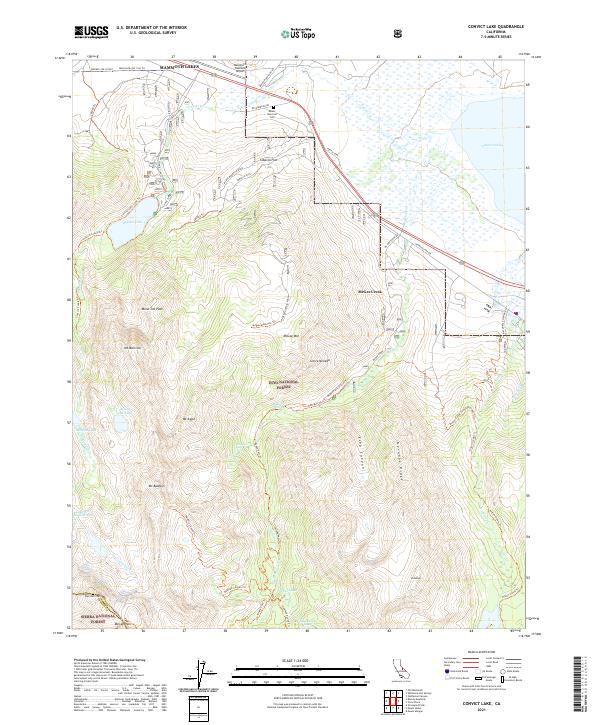 2021 Convict Lake2021 Print · USGSThe eastern Sierra Nevada high country comes into focus in this contemporary survey of the peaks and valleys surrounding Convict Lake. Hikers and historians can trace the legacy of high-altitude routes like the McGee Pass Trl and find local landmarks such as Tobacco Flat and the Mount Morrison Cem.
 - 2021 Map of Bloody Mountain, 2021 Print
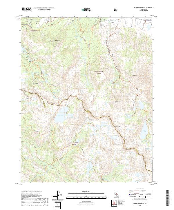 2021 Bloody Mountain2021 Print · USGSThe high Sierra crest south of Mammoth Lakes comes into focus in this 2021 study of the Mono and Fresno county border. Researchers can trace the path of the Pacific Crest National Scenic Trl as it winds past Duck Lake, Bloody Mtn, and the historic Gibbs Cem.
 - 2021 Map of Old Mammoth, 2021 Print
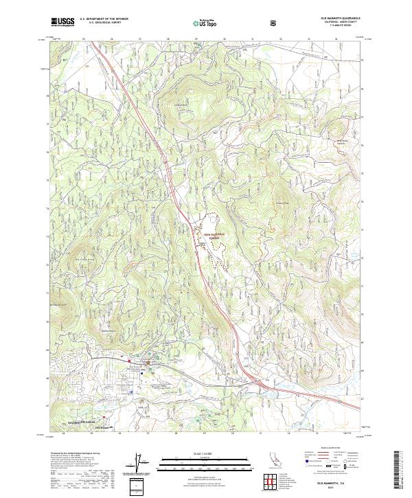 2021 Old Mammoth2021 Print · USGSMono County's high Sierra landscape is captured here in the early twenty-first century as the resort community grows. Trace local history from the Old CCC Camp to modern landmarks like Old Mammoth and Earthquake Dome.
 - 2021 Map of Mammoth Mountain, 2021 Print
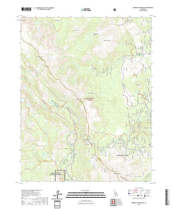 2021 Mammoth Mountain2021 Print · USGSThe High Sierra around Mammoth Lakes is documented here during the early 2020s, showing the intersection of famous wilderness trails and volcanic terrain. Researchers can map the specific routes of the John Muir Trl and Pacific Crest National Scenic Trl near landmarks like Devils Postpile.
 - 2021 Map of Crystal Crag, 2021 Print
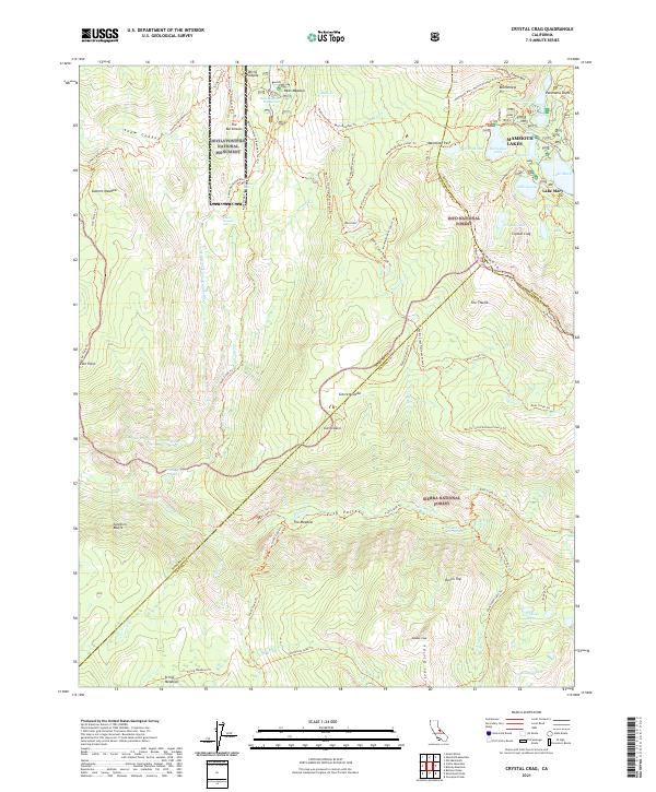 2021 Crystal Crag2021 Print · USGSThe High Sierra wilderness near the junction of three counties comes into focus in this contemporary survey. Outdoor enthusiasts and historians can trace the Pacific Crest National Scenic Trl past Reds Meadow and the geologic wonders of Devils Postpile National Monument.
End of results
Showing maps 1-24 of 24
Top cities near Mammoth Lakes
Top neighborhoods of Mammoth Lakes
Frequently asked questions
- What are the different types of historical maps available for Mammoth Lakes?
- What is the oldest map of Mammoth Lakes?
- Where can I purchase historical maps of Mammoth Lakes for my home or office?
- Where can I download high-res historical maps of Mammoth Lakes?
- Are there historical topographic maps available for Mammoth Lakes?
- Is there historical aerial imagery available for Mammoth Lakes?
- Where are historical maps of Mammoth Lakes sourced from?