1900s (20th Century) Maps of Mammoth Lakes, California
Explore 26 historic maps of Mammoth Lakes from the 1900s (20th Century). These maps offer a rare glimpse into what life looked like during the 1900s — showing old roads, neighborhoods, homes, and landmarks that have changed or disappeared over time.
Whether you're researching your family's past, planning a metal detecting trip, or studying how Mammoth Lakes's landscape evolved across the 1900s, these high-resolution maps are a powerful tool for exploring the history of this region.
- Focus on a specific era: All maps on this page are from the 1900s, giving you a focused view of this time period.
- See what’s changed: Compare century-old streets, trails, and buildings to today's modern landscape using overlays and satellite layers.
- Research with precision: Use these maps for genealogy, historical research, land use analysis, or educational projects.
- View, download, or print: Maps are fully viewable online in high resolution, and can be downloaded or printed for your own records.
Start exploring Mammoth Lakes's history through authentic maps from the 1900s. This is your window into the past.
Mammoth Lakes, CA maps
(26)- 1901 Map of Mt. Lyell
 1901 Mt. Lyell1901 Print · USGSThe High Sierra at the end of the century is captured here in immense detail, showing the early boundaries of Yosemite National Park. Researchers can trace old mountain routes past Soda Springs, Tuolumne Meadows, and Miller Bridge.12 unique versions available
 - 1914 Map of Mt. Morrison
 1914 Mt. Morrison1914 Print · USGSThe High Sierra and Mono Basin are seen here in the early twentieth century, showing a network of remote ranches and early timber camps. Researchers can trace historic sites like Mono Mills, the remote Dutch Petes Ranch, and the Casa Diablo Mine.8 unique versions available
 - 1947 Map of Mariposa, 1948 Print
 1947 Mariposa1948 Print · USGSThe High Sierra and Owens Valley transition is captured here in the late 1940s, just as the region’s hydroelectric and tourism infrastructure was maturing. Genealogists and historians can trace old ranger stations, the Casa Diablo Mine, and rail stops along the Southern Pacific like Benton Station and Zurich.2 unique versions available
 - 1948 Map of Mariposa, 1951 Print
 1948 Mariposa1951 Print · USGSThe High Sierra and Mariposa foothills are shown here in the late 1940s as the post-war tourism and water infrastructure expanded. Genealogists and historians can locate vanished waypoints like Mormon Bar, the Glacier Point Hotel, and the granite quarries of Knowles.
 - 1953 Map of Mt. Morrison, 1955 Print
 1953 Mt. Morrison1955 Print · USGSThe Eastern Sierra Nevada and Owens River valley appear here in the early fifties, a time of both ranching and high-altitude recreation. Genealogists and historians can trace Arcularius Ranch, the site at Old Mammoth, and the Scheelore Mine among the mountain peaks.7 unique versions available
 - 1953 Map of Devils Postpile, 1955 Print
 1953 Devils Postpile1955 Print · USGSThe high Sierra back-country is captured in the early 1950s, a period where mining history and emerging recreation met at the crest. You can trace the rugged network of pack trails and early ranger stations including Reds Meadow RS, the Minaret Mine, and the iconic Devils Postpile.6 unique versions available
 - 1957 Map of Mariposa, 1966 Print
 1957 Mariposa1966 Print · USGSThe High Sierra and Owens Valley appear in the mid-fifties, showing the intersection of conservation, hydroelectric power, and mountain industry. Genealogists and researchers can trace local landmarks like Yosemite Cemetery, the remote Kinsley Station, and the Pine Creek Mine.4 unique versions available
 - 1963 Map of Mariposa
 1963 Mariposa1963 Print · USGSThe High Sierra and Owens Valley meet in the early sixties, showing a landscape defined by gold-rush history and massive post-war water projects. Genealogists and researchers can trace old mining routes near Mariposa, locate the Glacier Point Hotel, and find small settlements like Coarse Gold or Knowles Junction.
 - 1976 Map of Yosemite Valley, 1994 Print
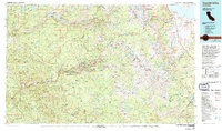 1976 Yosemite Valley1994 Print · USGSThe High Sierra and the iconic Yosemite Valley are captured here during the 1970s, showing the primary road networks and backcountry trails of the day. Researchers can trace the layout of Yosemite Village or locate historic mining sites like Schroeder Mine and Buffalo Mine.2 unique versions available
 - 1983 Map of Whitmore Hot Sprs
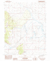 1983 Whitmore Hot Sprs1983 Print · USGSMono County's high-desert basin is captured here in the early eighties as a landscape of thermal springs and cattle ranching. Researchers can locate the Cashbaugh Ranch, trace the waters of Hot Creek, and identify the Mono County Youth Camp near the alkali flats.
 - 1983 Map of Old Mammoth, 1984 Print
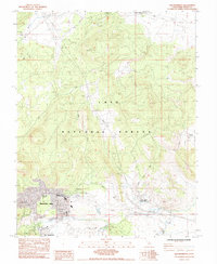 1983 Old Mammoth1984 Print · USGSMammoth Lakes and the high country of the Eastern Sierra are captured here in the early eighties as the region evolved into a major recreation hub. Trace the development of the village and outlying sites like Casa Diablo Hot Sprs, Old Mammoth, and the Arcularius Ranch.3 unique versions available
 - 1983 Map of Convict Lake, 1984 Print
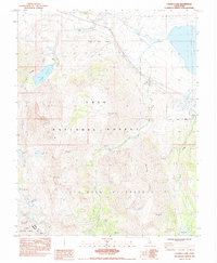 1983 Convict Lake1984 Print · USGSThe Eastern Sierra Nevada in the early eighties reveals a world of remote alpine lakes and high-altitude mining prospects. Researchers and hikers can trace paths to the Scheelore Mine, the waters of Lake Crowley, or the secluded Bright Dot Lake.
 - 1983 Map of Bloody Mtn, 1984 Print
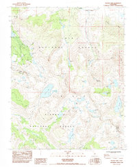 1983 Bloody Mtn1984 Print · USGSThe High Sierra during the early eighties shows a transition from mining history to wilderness preservation in Mono County. Researchers can trace the legacy of the Old Mammoth Mine, the ruins at Mill City, and high-altitude routes like the Pacific Crest National Scenic Trail.2 unique versions available
 - 1984 Map of Mammoth Mtn
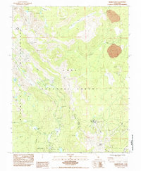 1984 Mammoth Mtn1984 Print · USGSThe high Sierra peaks of Mono County are captured in the mid-1980s, showing the established trails and campgrounds of the Inyo National Forest. Researchers can trace the routes of the Pacific Crest National Scenic Trail and locate landmarks like the Devils Postpile and Mammoth Mtn Main Lodge.2 unique versions available
 - 1984 Map of Crystal Crag
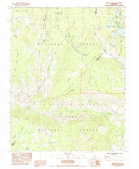 1984 Crystal Crag1984 Print · USGSThe High Sierra backcountry and the iconic Devils Postpile are captured here in the mid-eighties. Trail researchers can trace the paths of the Pacific Crest and John Muir Trail past Rainbow Falls and the remote Iva Bell Hot Springs.
 - 1988 Map of Benton Range
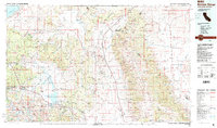 1988 Benton Range1988 Print · USGSThe high desert and alpine peaks of the California-Nevada border come alive in this late-century survey of the Benton Range. Researchers can trace the heritage of remote outposts like Benton and Montgomery City alongside historic workings like the Black Warrior Mine.2 unique versions available
 - 1990 Map of Bloody Mountain, 1995 Print
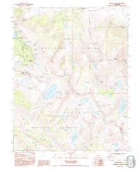 1990 Bloody Mountain1995 Print · USGSHigh Sierra mining history and wilderness recreation intersect in the 1990s near the crest of the Sierra Nevada. Trace old mineral workings at Old Mammoth Mine and the Mill City (Site) alongside high-altitude waters like Duck Lake and Bloody Lake.
 - 1990 Map of Whitmore Hot Sprs, 1995 Print
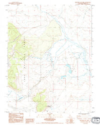 1990 Whitmore Hot Sprs1995 Print · USGSMono County's hydrothermal landscape is captured here in the early nineties, showing a region defined by its volcanic geology and high-desert hydrology. Researchers can locate the State Fish Hatchery, the isolated Cashbaugh Ranch, and the waters of Big Alkali Lake.
 - 1992 Map of Mammoth Mtn, 1995 Print
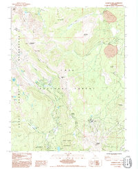 1992 Mammoth Mtn1995 Print · USGSThe high Sierra landscape near the Mono and Madera county line is captured here in the early nineties, showing a mix of primitive wilderness and developed recreation. Trace the route of the Pacific Crest National Scenic Trail past Devils Postpile and the seasonal camps at Agnew Meadows.
 - 1992 Map of Crystal Crag, 1995 Print
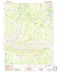 1992 Crystal Crag1995 Print · USGSThe High Sierra backcountry of Madera and Mono Counties is documented here in the early nineties, centered on the unique basalt columns of Devils Postpile. Trace the historic routes of the John Muir Trail past Reds Meadow and the alpine shores of Lake Mary.
 - 1994 Map of Convict Lake, 1997 Print
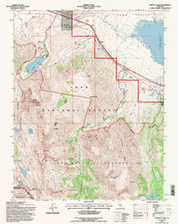 1994 Convict Lake1997 Print · USGSThe High Sierra meets the basin of Long Valley in the mid-nineties, capturing the interface of recreation and scientific research. Trace high-altitude industrial history at the Scheelore Mine or explore the drainage basins of Convict Lake and Lake Crowley.
 - 1994 Map of Whitmore Hot Sprs, 1997 Print
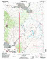 1994 Whitmore Hot Sprs1997 Print · USGSThe geothermal Long Valley region during the 1990s highlights a landscape of alkali flats and thermal springs. Genealogists and researchers can locate Cashbaugh Ranch, Whitmore Hot Sprs, and the Hot Creek State Fish Hatchery along the Owens River.
 - 1994 Map of Crystal Crag, 1997 Print
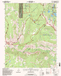 1994 Crystal Crag1997 Print · USGSThe High Sierra backcountry is documented here in the mid-nineties, showing the intersection of wilderness areas and alpine lake resorts. Trace the volcanic geology of Devils Postpile and locate historical landmarks like Reds Meadow Hot Springs and Rainbow Falls.
 - 1994 Map of Mammoth Mtn, 1997 Print
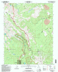 1994 Mammoth Mtn1997 Print · USGSThe High Sierra near the Mono and Madera county line is captured in the mid-1990s as it supports both protected wilderness and growing recreation. Trace the paths of the John Muir Trail and Pacific Crest National Scenic Trail past Soda Springs and Agnew Meadows.
 - 1994 Map of Old Mammoth, 1997 Print
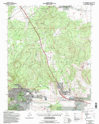 1994 Old Mammoth1997 Print · USGSMammoth Lakes and the high Sierra foothills are captured in the mid-nineties during a period of significant recreational growth. Researchers can locate original sites at Old Mammoth, trace the Earthquake Fault, or find the historic Arcularius Ranch.
Showing maps 1-25 of 26
Top cities near Mammoth Lakes
Top neighborhoods of Mammoth Lakes
Frequently asked questions
- What are the different types of historical maps available for Mammoth Lakes?
- What is the oldest map of Mammoth Lakes?
- Where can I purchase historical maps of Mammoth Lakes for my home or office?
- Where can I download high-res historical maps of Mammoth Lakes?
- Are there historical topographic maps available for Mammoth Lakes?
- Is there historical aerial imagery available for Mammoth Lakes?
- Where are historical maps of Mammoth Lakes sourced from?