
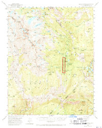
1953 Map of Devils Postpile
USGS Topo · Published 1955About this map
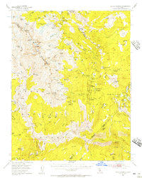
Devils Postpile National Monument serves as the central anchor of this mid-century high-country survey, capturing the complex geography where the Middle Fork of the San Joaquin River carves through the central Sierra. This era is defined by a landscape transitioning from pioneer-era resource extraction to a managed wilderness for recreation and conservation. The presence of the Minaret Mine on Volcanic Ridge and scattered landmarks like Bugg Cabin reflect the area's prospecting history, while the emergence of sites like Reds Meadow RS and the Minaret Falls Campground signal the post-war rise in backcountry tourism. Geologically, the sheet documents the jagged crests of Banner Peak and Mt Ritter, overlooking a dense network of glacial basins including Thousand Island Lake and Garnet Lake. For researchers, the map preserves old trail crossings like Sargent Crossing and established ranger infrastructure before modern expansion.
Find a feature on this map
145 named features on this map. Tap any name to fly to it.
Don’t see what you’re looking for? This feature index may not catch every label — zoom into the map to look around manually.
Map Details
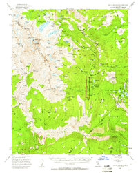
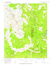
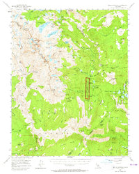
Editions of this 1953 Devils Postpile Map
6 editions found
Other maps of this area

1901 · Mt. Lyell
USGS Topo · 1:125,000

1904 · Kaiser
USGS Topo · 1:125,000

1912 · Mt. Goddard
USGS Topo · 1:125,000

1914 · Mt. Morrison
USGS Topo · 1:125,000

1947 · Mariposa
USGS Topo · 1:250,000

1948 · Mariposa
USGS Topo · 1:250,000

1953 · Mt. Morrison
USGS Topo · 1:62,500

1953 · Merced Peak
USGS Topo · 1:62,500

1953 · Mt Abbot
USGS Topo · 1:62,500

1953 · Mono Craters
USGS Topo · 1:62,500