
1953 Map of Mt Abbot
USGS Topo · Published 1955About this map
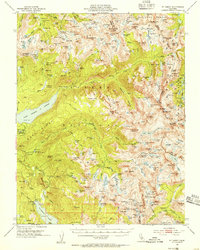
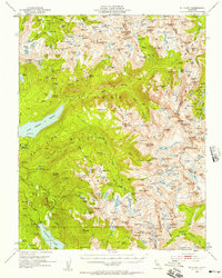
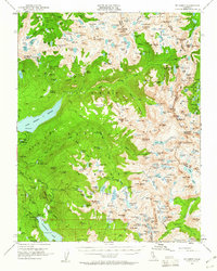
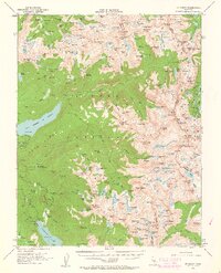
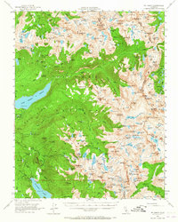
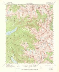
Lake Thomas A Edison and the recently flooded basin of the San Joaquin River dominate this mid-century survey of the high central Sierra. The map details a period of hydroelectric development and backcountry recreation, showing the infrastructure of Florence Lake alongside the remote high-altitude routes of the John Muir Trail and Piute Pass Trail. High peaks of the Great Divide, including Mt Abbot and Mt Hilgard, define the watershed between Sierra National Forest and Inyo National Forest. Local history is preserved through small landmarks such as the Pick and Shovel Mine and Fish Camp, while the network of alpine water bodies like Lake Italy and Marie Lake illustrates the complex hydrology of the Sierra Nevada.
Find a feature on this map
220 named features on this map. Tap any name to fly to it.
Don’t see what you’re looking for? This feature index may not catch every label — zoom into the map to look around manually.
Map Details
Editions of this 1953 Mt Abbot Map
7 editions found
Other maps of this area

1901 · Mt. Lyell
USGS Topo · 1:125,000

1904 · Kaiser
USGS Topo · 1:125,000

1912 · Mt. Goddard
USGS Topo · 1:125,000

1914 · Mt. Morrison
USGS Topo · 1:125,000

1947 · Mariposa
USGS Topo · 1:250,000

1948 · Mariposa
USGS Topo · 1:250,000

1948 · Mt. Goddard
USGS Topo · 1:62,500

1949 · Mt. Tom
USGS Topo · 1:62,500

1951 · Mt. Tom
USGS Topo · 1:62,500

1951 · Mt. Goddard
USGS Topo · 1:62,500