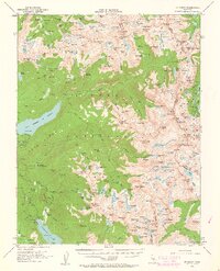
1953 Map of Mt Abbot
USGS Topo · Published 1963About this map
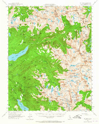
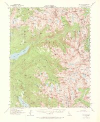
The Silver Divide and Mono Divide dominate this high-altitude landscape of the central Sierras, where water management and wilderness travel define the geography. The presence of the John Muir Trail highlights the region's importance for alpine recreation, winding through high meadows like Quall Meadows and past remote camps such as Fish Camp and Kip Camp. Engineering footprints are visible at the Bear Diversion Dam and Hooper Diversion Dam, part of the complex hydroelectric systems feeding into Lake Thomas A Edison and Florence Lake. Local industry is represented by the Pick and Shovel Mine near Jackson Meadow, suggesting the area's small-scale prospecting history. The terrain is a dense network of glacial basins and granite summits, including Mt Abbot and the distinct peaks of The Pinnacles, bordering the Sierra National Forest and Inyo National Forest.
Find a feature on this map
233 named features on this map. Tap any name to fly to it.
Don’t see what you’re looking for? This feature index may not catch every label — zoom into the map to look around manually.
Map Details
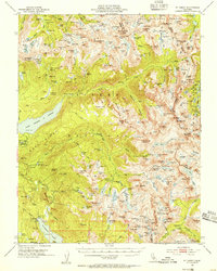
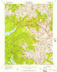
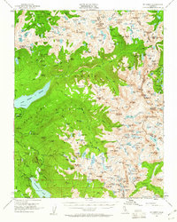
Editions of this 1953 Mt Abbot Map
7 editions found

Other maps of this area

1901 · Mt. Lyell
USGS Topo · 1:125,000

1904 · Kaiser
USGS Topo · 1:125,000

1912 · Mt. Goddard
USGS Topo · 1:125,000

1914 · Mt. Morrison
USGS Topo · 1:125,000

1947 · Mariposa
USGS Topo · 1:250,000

1948 · Mariposa
USGS Topo · 1:250,000

1948 · Mt. Goddard
USGS Topo · 1:62,500

1949 · Mt. Tom
USGS Topo · 1:62,500

1951 · Mt. Tom
USGS Topo · 1:62,500

1951 · Mt. Goddard
USGS Topo · 1:62,500