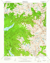
1953 Map of Mt Abbot
USGS Topo · Published 1960About this map
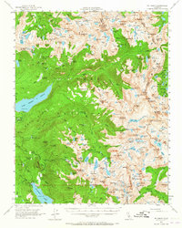
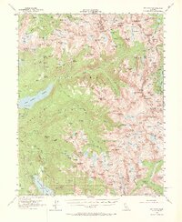
The High Sierra crest forms a dramatic backdrop for this mid-century survey of the Mt Abbot quadrangle, documenting the intersection of Inyo National Forest and Sierra National Forest. The landscape is defined by the high-altitude drainage basins of the Silver Divide, where numerous glacial lakes like the Lake of the Lone Indian and Graveyard Lakes feed into the South Fork of the San Joaquin River. Infrastructure for water management and mining is evident even in this remote terrain, notably the Hooper Diversion Dam and the Fish and Shovel Mine. The legendary John Muir Trail winds through the central portion of the map, passing below massive peaks such as Seven Gables and Mt Hilgard. This map captures a period of active water monitoring and resource extraction within the granite basins of The Pinnacles and Vermilion Cliffs.
Find a feature on this map
214 named features on this map. Tap any name to fly to it.
Don’t see what you’re looking for? This feature index may not catch every label — zoom into the map to look around manually.
Map Details
Editions of this 1953 Mt Abbot Map
7 editions found

Other maps of this area

1901 · Mt. Lyell
USGS Topo · 1:125,000

1904 · Kaiser
USGS Topo · 1:125,000

1912 · Mt. Goddard
USGS Topo · 1:125,000

1914 · Mt. Morrison
USGS Topo · 1:125,000

1947 · Mariposa
USGS Topo · 1:250,000

1948 · Mariposa
USGS Topo · 1:250,000

1948 · Mt. Goddard
USGS Topo · 1:62,500

1949 · Mt. Tom
USGS Topo · 1:62,500

1951 · Mt. Tom
USGS Topo · 1:62,500

1951 · Mt. Goddard
USGS Topo · 1:62,500