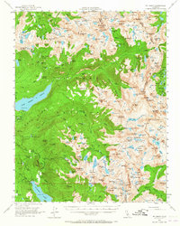
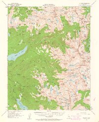
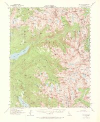
1953 Map of Mt. Abbot
USGS Topo · Published 1965About this map
The high crest of the Sierra Nevada defines this 1953 field survey, capturing the dramatic hydro-electric and recreational landscape of the High Sierra before later wilderness designations. The map details the significant water management infrastructure of the era, including the Thomas A Edison Lake and Florence Lake reservoirs, supported by the Hooper Diversion Dam and various gaging stations. These developments sit alongside historic backcountry routes like the John Muir Trail and the Silver Pass Trail, which provided access for early 20th-century explorers and packers.
Find a feature on this map
213 named features on this map. Tap any name to fly to it.
Don’t see what you’re looking for? This feature index may not catch every label — zoom into the map to look around manually.
Map Details
Editions of this 1953 Mt. Abbot Map
7 editions found

Other maps of this area

1901 · Mt. Lyell
USGS Topo · 1:125,000

1904 · Kaiser
USGS Topo · 1:125,000

1912 · Mt. Goddard
USGS Topo · 1:125,000

1914 · Mt. Morrison
USGS Topo · 1:125,000

1947 · Mariposa
USGS Topo · 1:250,000

1948 · Mariposa
USGS Topo · 1:250,000

1948 · Mt. Goddard
USGS Topo · 1:62,500

1949 · Mt. Tom
USGS Topo · 1:62,500

1951 · Mt. Tom
USGS Topo · 1:62,500

1951 · Mt. Goddard
USGS Topo · 1:62,500