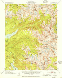
1953 Map of Mt. Abbot
USGS Topo · Published 1955About this map
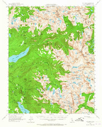
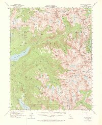
Graveyard Peak and the striking Vermilion Cliffs overlook a high-altitude landscape defined by glacially carved basins and granite summits during the early 1950s. This survey, conducted under State Engineer A. D. Edmonston, documents the primitive infrastructure of the Sierra Nevada before modern backcountry management. Remote outposts like Fish Camp and Kip Camp serve as milestones along a network of routes including the iconic John Muir Trail. Local industrial history is marked by the Pick and Shovel Mine near Jackson Meadow, while the presence of a Gaging Station on the watercourses suggests the early measurement of the region's vital hydrologic resources. The map captures the meeting of Fresno, Mono, and Inyo counties along the drainage divide, showing the intricate relationship between peaks like Mt Hilgard and the numerous alpine tarns such as Izaak Walton Lake and Hortense Lake that feed the Fish Creek and Bear Creek watersheds.
Find a feature on this map
204 named features on this map. Tap any name to fly to it.
Don’t see what you’re looking for? This feature index may not catch every label — zoom into the map to look around manually.
Map Details
Editions of this 1953 Mt. Abbot Map
7 editions found

Other maps of this area

1901 · Mt. Lyell
USGS Topo · 1:125,000

1904 · Kaiser
USGS Topo · 1:125,000

1912 · Mt. Goddard
USGS Topo · 1:125,000

1914 · Mt. Morrison
USGS Topo · 1:125,000

1947 · Mariposa
USGS Topo · 1:250,000

1948 · Mariposa
USGS Topo · 1:250,000

1948 · Mt. Goddard
USGS Topo · 1:62,500

1949 · Mt. Tom
USGS Topo · 1:62,500

1951 · Mt. Tom
USGS Topo · 1:62,500

1951 · Mt. Goddard
USGS Topo · 1:62,500