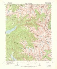
1953 Map of Mt. Abbot
USGS Topo · Published 1973About this map
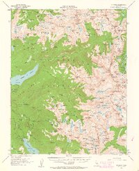
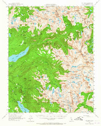
Inyo National Forest dominates this mid-century survey, showcasing a high-altitude wilderness where glacial activity carved an intricate network of basins and peaks. The John Muir Trail winds through the central corridor, passing through alpine landmarks like Pioneer Basin and the Graveyard Lakes. This period of mapping captures the integration of water management infrastructure within the wilderness, specifically the Bear Diversion Dam and Hooper Diversion Dam which redirected flows for California's expanding utility needs.
Find a feature on this map
224 named features on this map. Tap any name to fly to it.
Don’t see what you’re looking for? This feature index may not catch every label — zoom into the map to look around manually.
Map Details
Editions of this 1953 Mt. Abbot Map
7 editions found

Other maps of this area

1901 · Mt. Lyell
USGS Topo · 1:125,000

1904 · Kaiser
USGS Topo · 1:125,000

1912 · Mt. Goddard
USGS Topo · 1:125,000

1914 · Mt. Morrison
USGS Topo · 1:125,000

1947 · Mariposa
USGS Topo · 1:250,000

1948 · Mariposa
USGS Topo · 1:250,000

1948 · Mt. Goddard
USGS Topo · 1:62,500

1949 · Mt. Tom
USGS Topo · 1:62,500

1951 · Mt. Tom
USGS Topo · 1:62,500

1951 · Mt. Goddard
USGS Topo · 1:62,500