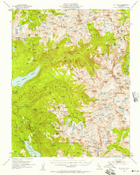
1953 Map of Mt. Abbot
USGS Topo · Published 1957About this map
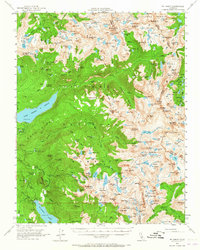
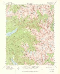
John Muir Trail winds through this high-altitude landscape of the High Sierra, connecting a series of remote passes and alpine basins during the early 1950s. The region is defined by its massive granite peaks, including Mt Abbot and Mt Izaak Walton, and the sprawling Silver Divide. Evidence of early resource extraction and water management appears at the Pick and Shovel Mine and various hydroelectric infrastructures like the Hooper Diversion Dam and Bear Diversion Dam. The map documents a wilderness transitioning into a managed recreational landscape, where named features such as Lake of the Lone Indian, Fish Camp, and Seven Gables denote early backcountry landmarks. The boundary between the Sierra National Forest and Inyo National Forest follows the jagged crest, illustrating the complex geography of the Fresno, Mono, and Inyo county lines.
Find a feature on this map
217 named features on this map. Tap any name to fly to it.
Don’t see what you’re looking for? This feature index may not catch every label — zoom into the map to look around manually.
Map Details
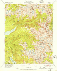
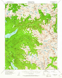
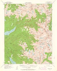
Editions of this 1953 Mt. Abbot Map
7 editions found

Other maps of this area

1901 · Mt. Lyell
USGS Topo · 1:125,000

1904 · Kaiser
USGS Topo · 1:125,000

1912 · Mt. Goddard
USGS Topo · 1:125,000

1914 · Mt. Morrison
USGS Topo · 1:125,000

1947 · Mariposa
USGS Topo · 1:250,000

1948 · Mariposa
USGS Topo · 1:250,000

1948 · Mt. Goddard
USGS Topo · 1:62,500

1949 · Mt. Tom
USGS Topo · 1:62,500

1951 · Mt. Tom
USGS Topo · 1:62,500

1951 · Mt. Goddard
USGS Topo · 1:62,500