
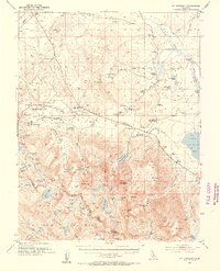
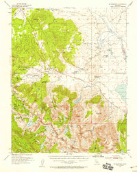
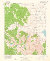
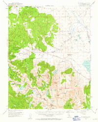
1953 Map of Mt. Morrison
USGS Topo · Published 1955About this map
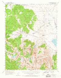
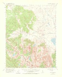
Inyo National Forest dominates this mid-century survey, revealing a landscape defined by its geothermal activity and mining history. Several hot springs, including Casa Diablo Hot Sprs and Whitmore Hot Springs, dot the valley floors while the high peaks of the Sierra Nevada rise to the west. The settlement of Mammoth Lakes is shown alongside legacy mining sites like the Old Mammoth Mine and the Mammoth Consolidated Mine. High-altitude water bodies such as Convict Lake and Lake Mary provide a drainage network toward Crowley Lake, which serves as a major landmark on the eastern edge of the quadrangle. Early infrastructure is documented through the Mammoth Ranger Sta, St Joseph Ch, and the Fish and Game Experimental Sta near Convict Creek. The mapping also traces the Muir Trail as it winds through the southern peaks near Red Slate Mtn and Duck Lake.
Find a feature on this map
103 named features on this map. Tap any name to fly to it.
Don’t see what you’re looking for? This feature index may not catch every label — zoom into the map to look around manually.
Map Details
Editions of this 1953 Mt. Morrison Map
7 editions found
Other maps of this area

1901 · Mt. Lyell
USGS Topo · 1:125,000

1904 · Kaiser
USGS Topo · 1:125,000

1912 · Mt. Goddard
USGS Topo · 1:125,000

1914 · Mt. Morrison
USGS Topo · 1:125,000

1947 · Mariposa
USGS Topo · 1:250,000

1948 · Mariposa
USGS Topo · 1:250,000

1949 · Mt. Tom
USGS Topo · 1:62,500

1951 · Mt. Tom
USGS Topo · 1:62,500

1953 · Casa Diablo Mtn
USGS Topo · 1:62,500

1953 · Mt Abbot
USGS Topo · 1:62,500