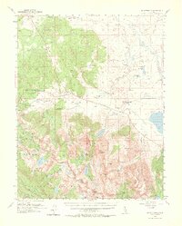
1953 Map of Mt. Morrison
USGS Topo · Published 1974About this map
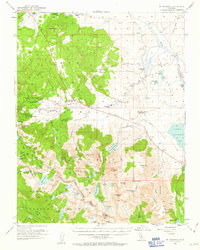
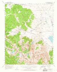
Old Mammoth and the developing Mammoth Lakes region are captured in this mid-century survey, showing the transition from early mining roots at Mill City toward a recreation-focused economy. The landscape is dotted with civic and institutional landmarks, including the Mammoth Sch, St Josephs Ch, and the Mammoth Ranger Sta. Ranching operations like the Arcularius Ranch and Cashbaugh Ranch maintain a presence in the valleys to the north, while the Fish and Game Experimental Sta and Fish Hatchery reflect the area's significance for wildlife management.
Find a feature on this map
85 named features on this map. Tap any name to fly to it.
Don’t see what you’re looking for? This feature index may not catch every label — zoom into the map to look around manually.
Map Details
Editions of this 1953 Mt. Morrison Map
7 editions found
Other maps of this area

1901 · Mt. Lyell
USGS Topo · 1:125,000

1904 · Kaiser
USGS Topo · 1:125,000

1912 · Mt. Goddard
USGS Topo · 1:125,000

1914 · Mt. Morrison
USGS Topo · 1:125,000

1947 · Mariposa
USGS Topo · 1:250,000

1948 · Mariposa
USGS Topo · 1:250,000

1949 · Mt. Tom
USGS Topo · 1:62,500

1951 · Mt. Tom
USGS Topo · 1:62,500

1953 · Mt. Morrison
USGS Topo · 1:62,500

1953 · Casa Diablo Mtn
USGS Topo · 1:62,500