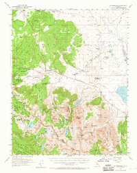
1953 Map of Mt. Morrison
USGS Topo · Published 1965About this map
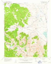
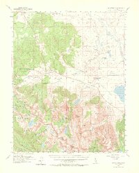
Old Mammoth and the emerging settlement of Mammoth Lakes anchor the northwestern portion of this 1953 survey, reflecting a transition from early mining operations to a recreation-based mountain economy. The landscape is marked by historical extraction sites such as the Mammoth Consolidated Mine and Monte Cristo Mine, while institutions like St Joseph Ch and the Mammoth Sch indicate a growing permanent community.
Find a feature on this map
92 named features on this map. Tap any name to fly to it.
Don’t see what you’re looking for? This feature index may not catch every label — zoom into the map to look around manually.
Map Details
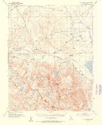
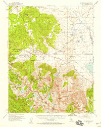
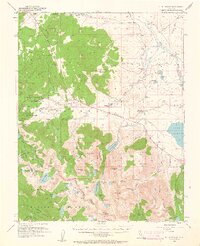
Editions of this 1953 Mt. Morrison Map
7 editions found
Other maps of this area

1901 · Mt. Lyell
USGS Topo · 1:125,000

1904 · Kaiser
USGS Topo · 1:125,000

1912 · Mt. Goddard
USGS Topo · 1:125,000

1914 · Mt. Morrison
USGS Topo · 1:125,000

1947 · Mariposa
USGS Topo · 1:250,000

1948 · Mariposa
USGS Topo · 1:250,000

1949 · Mt. Tom
USGS Topo · 1:62,500

1951 · Mt. Tom
USGS Topo · 1:62,500

1953 · Mt. Morrison
USGS Topo · 1:62,500

1953 · Casa Diablo Mtn
USGS Topo · 1:62,500