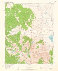
1953 Map of Mt. Morrison
USGS Topo · Published 1962About this map
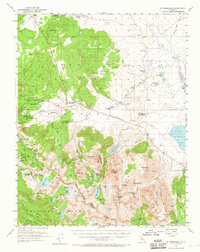
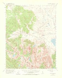
Mammoth Lakes and the surrounding Sierra Nevada highlands appear here during the early 1950s, a time when the region's mining heritage and emerging recreation industry existed side-by-side. The map details an active landscape of resource extraction and seasonal habitation, from the Monte Cristo Mine and Mammoth Consolidated Mine to the localized developments at Old Mammoth and Mill City. Local community life is anchored by the St Joseph Ch and Mammoth Sch, while the presence of the Mammoth Ranger Sta and the Los Angeles YMCA Camp points toward the area's transition into a destination for conservation and leisure.
Find a feature on this map
106 named features on this map. Tap any name to fly to it.
Don’t see what you’re looking for? This feature index may not catch every label — zoom into the map to look around manually.
Map Details
Editions of this 1953 Mt. Morrison Map
7 editions found
Other maps of this area

1901 · Mt. Lyell
USGS Topo · 1:125,000

1904 · Kaiser
USGS Topo · 1:125,000

1912 · Mt. Goddard
USGS Topo · 1:125,000

1914 · Mt. Morrison
USGS Topo · 1:125,000

1947 · Mariposa
USGS Topo · 1:250,000

1948 · Mariposa
USGS Topo · 1:250,000

1949 · Mt. Tom
USGS Topo · 1:62,500

1951 · Mt. Tom
USGS Topo · 1:62,500

1953 · Mt. Morrison
USGS Topo · 1:62,500

1953 · Casa Diablo Mtn
USGS Topo · 1:62,500