Old Maps of Rutherford, California for Genealogy
Trace your family roots with 14 historic maps of Rutherford. These high-res maps reveal old neighborhoods, homesites, landmarks, and streets — helping you uncover where your ancestors lived and how the area evolved over time.
- Explore historic neighborhoods: Identify where your relatives may have lived in the 1800s or 1900s.
- Compare maps over time: Trace the changes in streets, buildings, and landmarks for multi-generational research.
- Perfect for genealogy & ancestry research: Used by family historians and researchers to map out lineage and migration.
These maps are an incredible resource for exploring your personal connection to Rutherford's past.
Rutherford, CA maps
(14)- 1902 Map of Napa
 1902 Napa1902 Print · USGSThe Napa Valley and Carquinez Strait are captured at the turn of the century, showing a landscape defined by maritime military posts and early vineyards. Genealogists and historians can trace the Mare Island Navy Yard, the Insane Asylum, and rail stops at Zinfandel and Rutherford.6 unique versions available
 - 1942 Map of Sonoma
 1942 Sonoma1942 Print · USGSThe Napa and Sonoma valleys are captured here during the early 1940s, showing the established rail and agricultural networks of the North Bay. Researchers can trace historic landmarks like the Veterans Home, the Quick Silver Mine, and early vineyard sites at Zinfandel and Rutherford.
 - 1947 Map of Santa Rosa
 1947 Santa Rosa1947 Print · USGSNorthern California in the late 1940s was a landscape of agricultural valleys and vital rail hubs. Trace the historic routes of the Northwestern Pacific through Healdsburg or explore the mid-century waterfronts of Vallejo and Benicia near Mare Island.
 - 1949 Map of Santa Rosa
 1949 Santa Rosa1949 Print · USGSThe North Bay and Wine Country appear here in the late 1940s, when the Northwestern Pacific RR still dominated regional transit. Genealogists and historians can trace old coastal outposts like Anchor Bay Settlement and the early layout of Santa Rosa.2 unique versions available
 - 1951 Map of Rutherford, 1952 Print
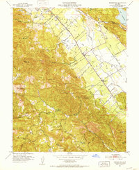 1951 Rutherford1952 Print · USGSNapa Valley during the early fifties reveals a landscape of rural viticulture and mountain mining operations. Local researchers can trace the rail corridor through Rutherford and Oakville or locate historical sites like La Joya Quicksilver Mine and Enterprise Sch.6 unique versions available
 - 1951 Map of Sonoma, 1958 Print
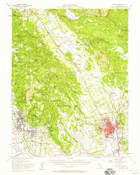 1951 Sonoma1958 Print · USGSWine country was already maturing in the mid-twentieth century as rail lines and early wineries shaped the valley landscape. Researchers can trace the legacy of established vineyards at Thomann Winery and Buena Vista or locate old burial grounds like Yountville Cem.3 unique versions available
 - 1958 Map of Santa Rosa, 1968 Print
 1958 Santa Rosa1968 Print · USGSThe North Bay and Wine Country are captured in the mid-twentieth century as the region balanced its agricultural roots with a growing military and recreational footprint. Researchers can trace the Northwestern Pacific RR through the Russian River valley or locate landmarks like the Petaluma Adobe Historical Monument and The Geysers Resort.3 unique versions available
 - 1962 Map of Santa Rosa
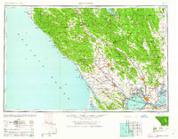 1962 Santa Rosa1962 Print · USGSThe North Bay and Wine Country were entering a period of significant growth in the early sixties, anchored by established rail corridors and coastal maritime commerce. Genealogists and historians can trace the development of Santa Rosa, locate the Mare Island Naval Shipyard, and follow the Northwestern Pacific RR through the Cotati Valley.
 - 1964 Map of Santa Rosa
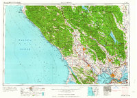 1964 Santa Rosa1964 Print · USGSThe North Bay and Wine Country appear in the mid-fifties during a period of significant military and educational growth. Trace old rail lines like the Northwestern Pacific RR and explore historic sites from Petaluma to the Benicia Arsenal.
 - 1983 Map of Napa
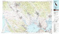 1983 Napa1983 Print · USGSThe North Bay and wine country are captured in the early eighties as suburban growth began to surround traditional agricultural centers. Researchers can trace the rail corridors of the Northwestern Pacific Railroad, the grounds of Mare Island Naval Shipyard, and the reach of the San Andreas Rift Zone.
 - 2012 Map of Rutherford, 2012 Print
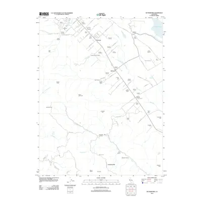 2012 Rutherford2012 Print · USGSNapa Valley's renowned wine country is charted in detail during the early 2010s, showing the precise footprints of legendary estates. Genealogists and historians can locate legacy properties like Inglenook Vineyards, Louis Martini Vineyards, and the Saint Helena Public Cem.
 - 2015 Map of Rutherford, 2015 Print
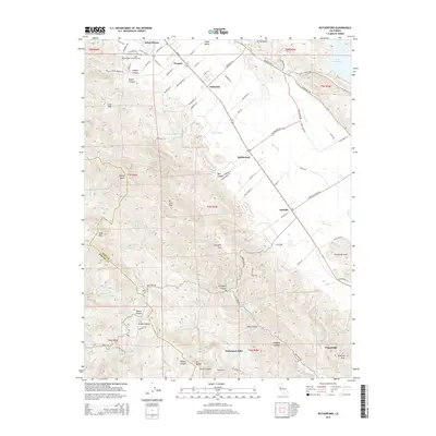 2015 Rutherford2015 Print · USGSThe Napa Valley's viticultural heartland is captured here in the mid-2010s, showing the established estates and small settlements between the Mayacamas and Vaca ranges. Researchers can trace land use around Rutherford and Oakville, locate the Saint Helena Public Cemetery, or follow the course of the Napa River.
 - 2018 Map of Rutherford, 2018 Print
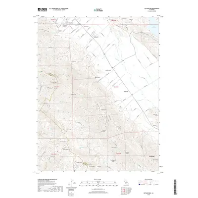 2018 Rutherford2018 Print · USGSThe Napa Valley at the height of its modern viticultural era is meticulously detailed here, from the valley floor to the surrounding heights. Researchers can trace historic family names and settlement hubs through Zinfandel, the Saint Helena Public Cem, and Rutherford.
 - 2021 Map of Rutherford, 2021 Print
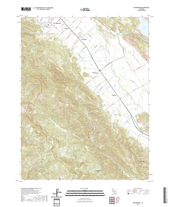 2021 Rutherford2021 Print · USGSThe heart of the Napa Valley is captured here in the early twenty-first century, spanning the famous corridor between St. Helena and Yountville. Researchers can trace property lines and landmarks like Zinfandel, Holy Cross Catholic Cem, and the terrain around Mt Veeder.
End of results
Showing maps 1-14 of 14
Top cities near Rutherford
- Santa Rosa historical maps
- Napa historical maps
- Petaluma historical maps
- Sonoma historical maps
- Calistoga historical maps
- Yountville historical maps
Frequently asked questions
- What are the different types of historical maps available for Rutherford?
- What is the oldest map of Rutherford?
- Where can I purchase historical maps of Rutherford for my home or office?
- Where can I download high-res historical maps of Rutherford?
- Are there historical topographic maps available for Rutherford?
- Is there historical aerial imagery available for Rutherford?
- Where are historical maps of Rutherford sourced from?