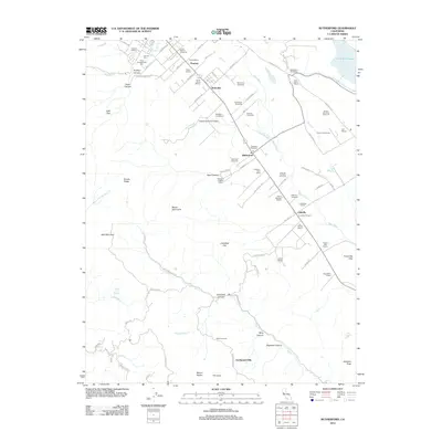
2012 Map of Rutherford
USGS Topo · Published 2012About this map
Louis Martini Vineyards, Inglenook Vineyards, and Beaulieu Vineyards anchor this 2012 look at the heart of Napa Valley viticulture. The landscape is defined by its historic estates and wineries, spanning from the Sutter Home Winery in the north near Thoman to the Robert Mondavi Winery south of Oakville. This survey illustrates the dense concentration of agricultural operations along the Napa River and the corridor established by the Silverado Trl.
Find a feature on this map
99 named features on this map. Tap any name to fly to it.
Don’t see what you’re looking for? This feature index may not catch every label — zoom into the map to look around manually.
Map Details
Editions of this 2012 Rutherford Map
This is the sole edition of this map. No revisions or reprints were ever made.
Other maps of this area

1902 · Napa
USGS Topo · 1:125,000

1916 · Santa Rosa
USGS Topo · 1:62,500

1927 · Calistoga
USGS Topo · 1:62,500

1942 · Sonoma
USGS Topo · 1:62,500

1942 · St. Helena
USGS Topo · 1:62,500

1943 · Calistoga
USGS Topo · 1:62,500

1944 · Santa Rosa
USGS Topo · 1:62,500

1945 · Calistoga
USGS Topo · 1:62,500

1945 · St. Helena
USGS Topo · 1:62,500

1947 · Santa Rosa
USGS Topo · 1:250,000