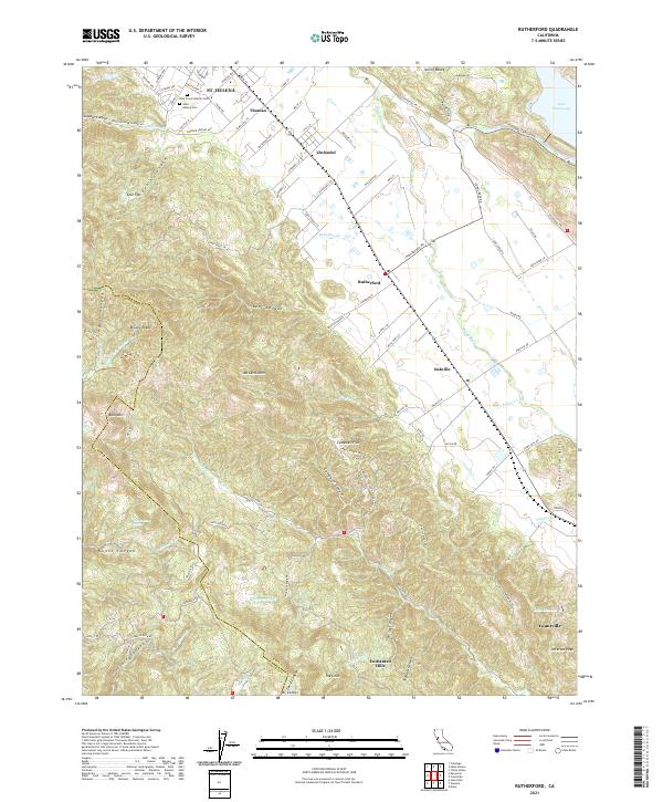
2021 Map of Rutherford
USGS Topo · Published 2021About this map
The valley floor of the Napa River corridor defines this portion of California’s renowned wine country, where the historic communities of St. Helena, Rutherford, and Oakville are connected by the iconic Silverado Trl and Rutherford Rd. The landscape reflects a sophisticated agricultural and residential pattern, with vineyards and estates often identified by local names such as Thoman, Zinfandel, and Campbell Flat. West of the valley, the terrain rises sharply into the Mayacamas Mountains, peaking at Mt Saint John and Mt Veeder, cut by deep drainages like Bear Canyon and Nunns Canyon. Genealogists will find interest in the documented sites of Saint Helena Cem and Holy Cross Catholic Cem, while the inclusion of the Enchanted Hills and the southern edge of Lake Hennessey highlights the region's diverse recreational and water management infrastructure.
Find a feature on this map
79 named features on this map. Tap any name to fly to it.
Don’t see what you’re looking for? This feature index may not catch every label — zoom into the map to look around manually.
Map Details
Editions of this 2021 Rutherford Map
This is the sole edition of this map. No revisions or reprints were ever made.
Other maps of this area

1902 · Napa
USGS Topo · 1:125,000

1916 · Santa Rosa
USGS Topo · 1:62,500

1927 · Calistoga
USGS Topo · 1:62,500

1942 · Sonoma
USGS Topo · 1:62,500

1942 · St. Helena
USGS Topo · 1:62,500

1943 · Calistoga
USGS Topo · 1:62,500

1944 · Santa Rosa
USGS Topo · 1:62,500

1945 · Calistoga
USGS Topo · 1:62,500

1945 · St. Helena
USGS Topo · 1:62,500

1947 · Santa Rosa
USGS Topo · 1:250,000