1940s Maps of Nevada County, California
Explore 22 historic maps of Nevada County from the 1940s. These maps offer a rare glimpse into what life looked like during the 1940s — showing old roads, neighborhoods, homes, and landmarks that have changed or disappeared over time.
Whether you're researching your family's past, planning a metal detecting trip, or studying how Nevada County's landscape evolved across the 1940s, these high-resolution maps are a powerful tool for exploring the history of this region.
- Focus on a specific era: All maps on this page are from the 1940s, giving you a focused view of this time period.
- See what’s changed: Compare century-old streets, trails, and buildings to today's modern landscape using overlays and satellite layers.
- Research with precision: Use these maps for genealogy, historical research, land use analysis, or educational projects.
- View, download, or print: Maps are fully viewable online in high resolution, and can be downloaded or printed for your own records.
Start exploring Nevada County's history through authentic maps from the 1940s. This is your window into the past.
Nevada County, CA maps
(22)- 1940 Map of Truckee
 1940 Truckee1940 Print · USGSThe High Sierra and Lake Tahoe shoreline appear here in the pre-war era, showing a landscape defined by timber, tourism, and transit. Genealogists and historians can trace the early resort development at Tahoe Vista, the lumber works at Hobart Mills, and the vital Southern Pacific rail line.4 unique versions available
 - 1941 Map of Bangor, 1958 Print
 1941 Bangor1958 Print · USGSThe Butte and Yuba County foothills are captured in the early 1940s, showing a landscape of scattered mining claims and rural homesteads. Genealogists can trace family roots through several local landmarks like Upham Cem, Wyandotte Sch, and the Phoenix Mine.
 - 1944 Map of Bangor
 1944 Bangor1944 Print · USGSThe foothills of the Sierra Nevada are captured here during the early 1940s, showing a landscape defined by gold mining and timber production. Researchers can pinpoint long-standing landmarks such as Hansonville, the Blue Lead Mine, and several rural burial grounds like Upham Cem.2 unique versions available
 - 1948 Map of Nevada City, 1953 Print
 1948 Nevada City1953 Print · USGSNevada City and the Yuba River canyons are captured here in the late 1940s, just as modern reservoirs began to reshape the old gold country. Genealogists and historians can trace family-named sites like Godfrey Ranch (Pike PO), Pleasant Valley Sch, and the Nevada City Rancheria.4 unique versions available
 - 1948 Map of Oregon House, 1956 Print
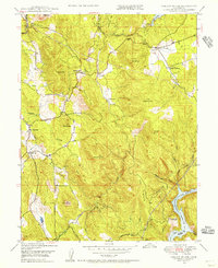 1948 Oregon House1956 Print · USGSThe Yuba County foothills are captured here in the late 1940s, showing a landscape of family ranches and early water engineering. Genealogists can locate family landmarks like Carmichael Ranch and Virginia Ranch or the historic Peoria Sch.3 unique versions available
 - 1948 Map of Camptonville, 1956 Print
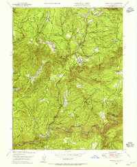 1948 Camptonville1956 Print · USGSTahoe National Forest's steep canyons and mining settlements are documented here just after the war. Local historians can trace the foundations of Camptonville, find the Godfrey Ranch (Pike PO), or locate remote river sites like Strawberry Bar.4 unique versions available
 - 1948 Map of Nevada City, 1957 Print
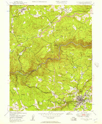 1948 Nevada City1957 Print · USGSThe Gold Country of the Sierra foothills is captured here shortly after the war, showing the historic mining hubs and river crossings of Nevada County. Researchers can locate legacy sites like Cherokee Diggings, the Nevada City Airport, and family holdings like Robinson Ranch.4 unique versions available
 - 1948 Map of French Corral, 1961 Print
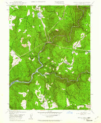 1948 French Corral1961 Print · USGSThe Gold Country of Yuba and Nevada Counties comes into focus just after the war as hydroelectric power began to reshape the river canyons. Researchers can locate the San Juan Mine, the village of French Corral, and the Pleasant Valley Sch.4 unique versions available
 - 1948 Map of Challenge, 1971 Print
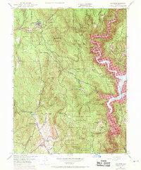 1948 Challenge1971 Print · USGSThe foothills of the Sierra Nevada are shown here just as the Bullards Bar Reservoir began to reshape the Yuba River canyon in the late sixties. Researchers can trace historic family lands like Indiana Ranch alongside mining operations including the Red Cross Mine and Horseshoe Mine.4 unique versions available
 - 1949 Map of Wheatland, 1953 Print
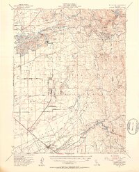 1949 Wheatland1953 Print · USGSYuba and Nevada counties appear here during the postwar transition of the late 1940s, showing a landscape defined by massive gold dredging and military expansion. Genealogists and historians can trace the foundations of Camp Beale Military Reservation or locate early mining sites like Timbuctoo and the Pennsylvania Mine.3 unique versions available
 - 1949 Map of Grass Valley, 1953 Print
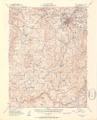 1949 Grass Valley1953 Print · USGSGold mining operations dominate the landscape around the Sierra foothills just after the war. Local researchers can trace the extent of the Empire Mine, find remote outposts like Anthony House, or locate rural schools such as Limekiln Sch and Forest Springs Sch.5 unique versions available
 - 1949 Map of Grass Valley, 1954 Print
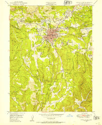 1949 Grass Valley1954 Print · USGSGrass Valley stands at a postwar industrial peak, surrounded by legendary gold mines and expanding mountain neighborhoods. Genealogists and historians can locate family plots at Greenwood Mem Cem and trace old school districts like Forest Springs Sch.3 unique versions available
 - 1949 Map of Wolf, 1954 Print
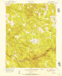 1949 Wolf1954 Print · USGSNevada and Placer counties appear here just after the war, showing a landscape shaped by military expansion and hydraulic engineering. You can trace the boundary of the Camp Beale Military Reservation or locate the Pine Hill Mine and Garden Bar along the Bear River.3 unique versions available
 - 1949 Map of Rough And Ready, 1955 Print
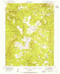 1949 Rough And Ready1955 Print · USGSThe California Gold Country is captured here at the close of the 1940s, highlighting the transition from mining heritage to ranching and military expansion. Researchers can trace the flumes and ditches of the Rough and Ready district or locate the Clear Creek Sch and Camp Beale Military Reservation.3 unique versions available
 - 1949 Map of Smartville, 1956 Print
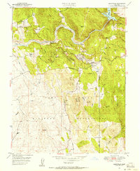 1949 Smartville1956 Print · USGSYuba County’s gold-bearing foothills are captured here in the late 1940s as military and ranching interests reshaped the mining landscape. Genealogists can locate family holdings like Bonanza Ranch and Forbes Ranch or trace the early foundations of the Camp Beale Military Reservation.
 - 1949 Map of Colfax, 1956 Print
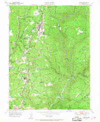 1949 Colfax1956 Print · USGSSierra Nevada rail and mining history converge in this mid-century survey of the Placer County foothills. Researchers can trace the Southern Pacific line through Colfax, Weimar, and Applegate while locating the historic Illinoistown Site and numerous inactive mines.6 unique versions available
 - 1949 Map of Chicago Park, 1956 Print
 1949 Chicago Park1956 Print · USGSThe gold-bearing ridges between Nevada and Placer counties are shown in high detail during the late 1940s. Researchers can trace the extensive legacy of the Gold Rush at the You Bet Diggings, locate the Bear River Sch, or follow the historic Donner Trail Markers.7 unique versions available
 - 1949 Map of North Bloomfield, 1957 Print
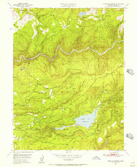 1949 North Bloomfield1957 Print · USGSNevada County at the close of the 1940s reveals a landscape defined by the legacies of hydraulic mining and the development of the high Sierra foothills. Researchers can trace the massive Malakoff Diggings, visit the Pioneer Grave, or locate the Blue Tent School.5 unique versions available
 - 1949 Map of Camp Far West, 1959 Print
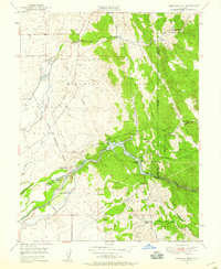 1949 Camp Far West1959 Print · USGSThe foothills of Yuba and Placer counties are captured here in the late 1940s, dominated by the sprawling Bear River and the Camp Beale military grounds. Researchers can locate the Spenceville Site, the Dairy Farm Mine, and the Camp Far West Historic Site.5 unique versions available
 - 1949 Map of Pike, 1960 Print
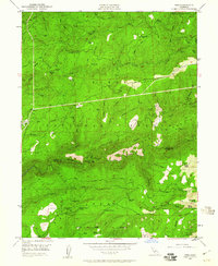 1949 Pike1960 Print · USGSGold country mining and mountain ranching are preserved here in the late Forties, spanning the divide between Sierra and Nevada counties. Genealogists and researchers can trace family-named sites like Clerkins Ranch, locate the Omega Mine, and find the historic Malakoff Diggings area.3 unique versions available
 - 1949 Map of Lake Combie, 1960 Print
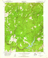 1949 Lake Combie1960 Print · USGSNevada and Placer Counties are captured here just after the war, showing the emergence of Lake Combie along the Bear River. Genealogists and historians can trace the Probable Route of Donner Party alongside local landmarks like the Stockton Hill Mine and Limekiln Sch.4 unique versions available
 - 1949 Map of Alleghany, 1961 Print
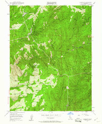 1949 Alleghany1961 Print · USGSThe Sierra Nevada mining district is documented here in the late 1940s, highlighting the area’s transition from active gold production to historical memory. Genealogists can trace family connections at the Alleghany Cem or locate vanished settlements at Moores Flat and Orleans Flat.5 unique versions available
End of results
Showing maps 1-22 of 22
Top cities of Nevada County
- Truckee historical maps
- Grass Valley historical maps
- Nevada City historical maps
- Rough and Ready historical maps
- Washington historical maps
- Kingvale historical maps
See more
Frequently asked questions
- What are the different types of historical maps available for Nevada County?
- What is the oldest map of Nevada County?
- Where can I purchase historical maps of Nevada County for my home or office?
- Where can I download high-res historical maps of Nevada County?
- Are there historical topographic maps available for Nevada County?
- Is there historical aerial imagery available for Nevada County?
- Where are historical maps of Nevada County sourced from?