2000s (21st Century) Maps of Palm Desert, California
Explore 17 historic maps of Palm Desert from the 2000s (21st Century). These maps offer a rare glimpse into what life looked like during the 2000s — showing old roads, neighborhoods, homes, and landmarks that have changed or disappeared over time.
Whether you're researching your family's past, planning a metal detecting trip, or studying how Palm Desert's landscape evolved across the 2000s, these high-resolution maps are a powerful tool for exploring the history of this region.
- Focus on a specific era: All maps on this page are from the 2000s, giving you a focused view of this time period.
- See what’s changed: Compare century-old streets, trails, and buildings to today's modern landscape using overlays and satellite layers.
- Research with precision: Use these maps for genealogy, historical research, land use analysis, or educational projects.
- View, download, or print: Maps are fully viewable online in high resolution, and can be downloaded or printed for your own records.
Start exploring Palm Desert's history through authentic maps from the 2000s. This is your window into the past.
Palm Desert, CA maps
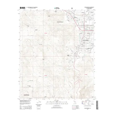
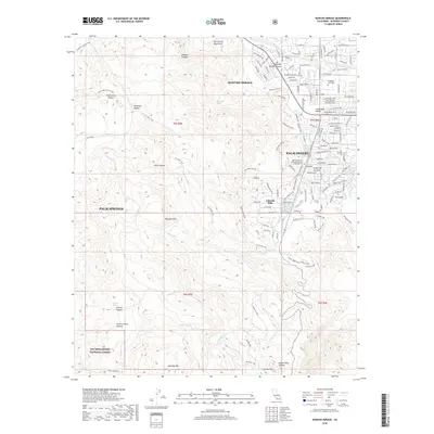
(17)- 2012 Map of Rancho Mirage, 2012 Print
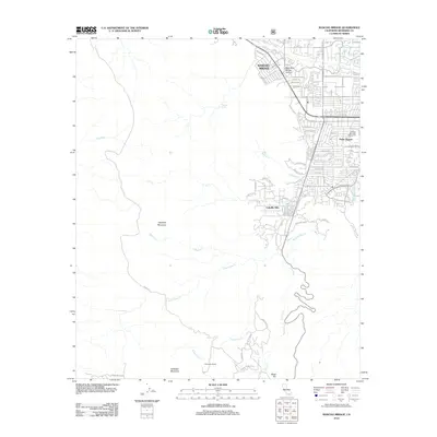 2012 Rancho Mirage2012 Print · USGSCovers Palm Desert, including Palm Springs, Rancho Mirage, and other nearby areas
 - 2012 Map of Myoma, 2012 Print
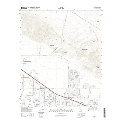
 2012 Myoma2012 Print · USGSCovers Palm Desert, including Indio, Indio, and other nearby areas
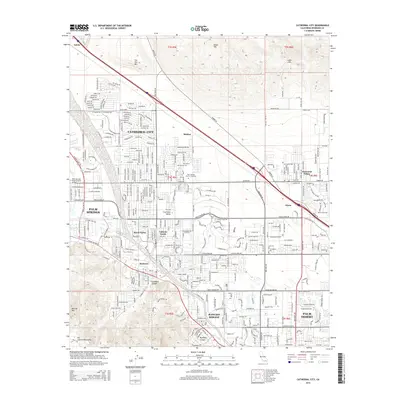
 - 2012 Map of Cathedral City, 2012 Print
 2012 Cathedral City2012 Print · USGSCovers Palm Desert, including Cathedral City, Palm Springs, and other nearby areas
 - 2012 Map of La Quinta, 2012 Print
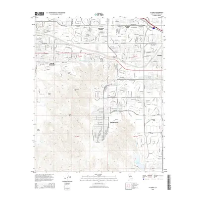
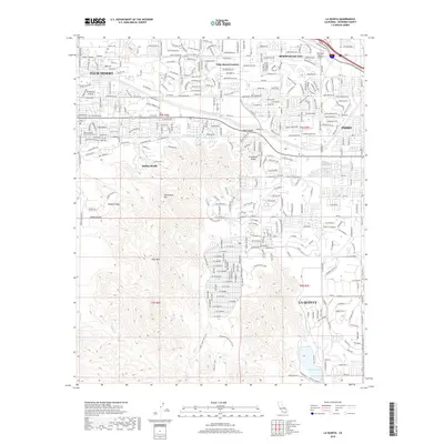
 2012 La Quinta2012 Print · USGSCovers Palm Desert, including Indio, Indio, and other nearby areas
 - 2015 Map of Cathedral City, 2015 Print
 2015 Cathedral City2015 Print · USGSCovers Palm Desert, including Cathedral City, Palm Springs, and other nearby areas
 - 2015 Map of La Quinta, 2015 Print
 2015 La Quinta2015 Print · USGSCovers Palm Desert, including Indio, Indio, and other nearby areas
 - 2015 Map of Rancho Mirage, 2015 Print
 2015 Rancho Mirage2015 Print · USGSCovers Palm Desert, including Palm Springs, Rancho Mirage, and other nearby areas
 - 2015 Map of Myoma, 2015 Print
 2015 Myoma2015 Print · USGSCovers Palm Desert, including Indio, Indio, and other nearby areas
 - 2018 Map of La Quinta, 2018 Print
 2018 La Quinta2018 Print · USGSCovers Palm Desert, including Indio, Indio, and other nearby areas
 - 2018 Map of Cathedral City, 2018 Print
 2018 Cathedral City2018 Print · USGSCovers Palm Desert, including Cathedral City, Palm Springs, and other nearby areas
 - 2018 Map of Myoma, 2018 Print
 2018 Myoma2018 Print · USGSCovers Palm Desert, including Indio, Indio, and other nearby areas
 - 2018 Map of Rancho Mirage, 2018 Print
 2018 Rancho Mirage2018 Print · USGSCovers Palm Desert, including Palm Springs, Rancho Mirage, and other nearby areas
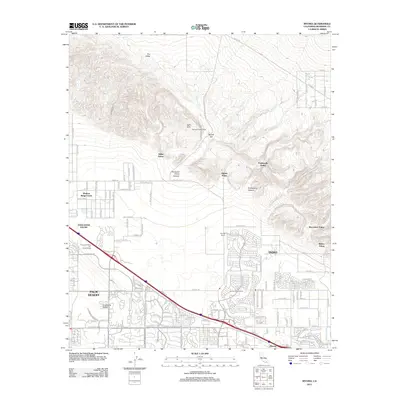
 - 2021 Map of Rancho Mirage, 2021 Print
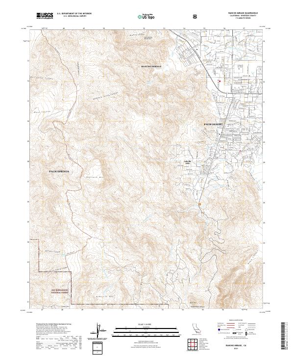 2021 Rancho Mirage2021 Print · USGSThe Coachella Valley edge meets the high desert in this recent survey of the region's rapid growth. Researchers can trace the development of Rancho Mirage and Palm Desert alongside landmarks like the College of the Desert and Haystack Mtn.
 - 2021 Map of La Quinta, 2021 Print
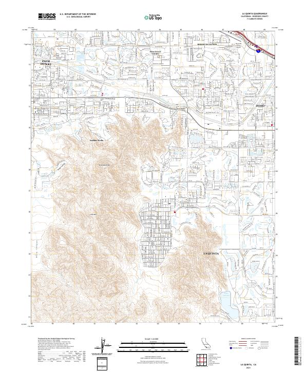 2021 La Quinta2021 Print · USGSLa Quinta and the neighboring Coachella Valley communities are shown during a period of modern expansion. Researchers can trace the development of Indian Wells and Bermuda Dunes, or locate landmarks like Lake Cahuilla and the Coachella Canal.
 - 2021 Map of Myoma, 2021 Print
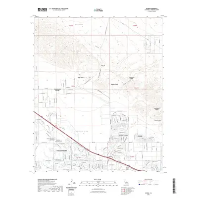 2021 Myoma2021 Print · USGSCovers Palm Desert, including Indio, Indio, and other nearby areas
 - 2021 Map of Cathedral City, 2021 Print
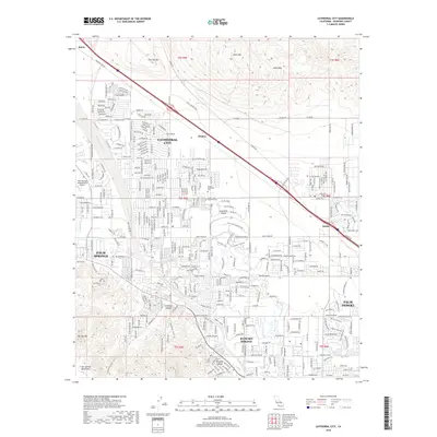
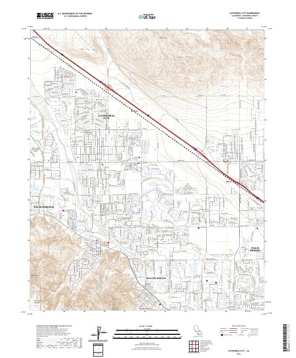 2021 Cathedral City2021 Print · USGSThe Coachella Valley's modern suburban landscape is fully realized in this contemporary survey of Cathedral City and Rancho Mirage. Researchers can trace the desert's growth from the San Jacinto Mountains to the rail stops at Rimlon and Edom.
 - 2023 Map of Myoma, 2023 Print
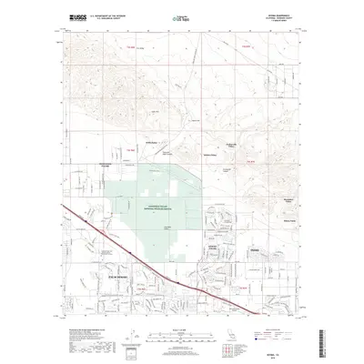
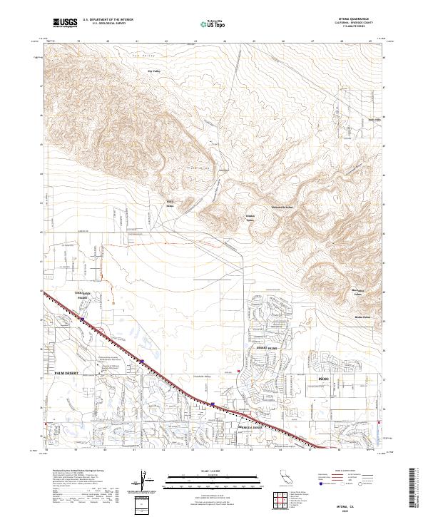 2023 Myoma2023 Print · USGSThe Coachella Valley is seen here in the early 2020s, showing the intersection of desert conservation and desert resort growth. Trace the natural oases of Willis Palms and Pushawalla Palms or locate the CSU Palm Desert Campus.
End of results
Showing maps 1-17 of 17
Top cities near Palm Desert
- Indio historical maps
- Indio historical maps
- Cathedral City historical maps
- Palm Springs historical maps
- Coachella historical maps
- La Quinta historical maps
See more
Frequently asked questions
- What are the different types of historical maps available for Palm Desert?
- What is the oldest map of Palm Desert?
- Where can I purchase historical maps of Palm Desert for my home or office?
- Where can I download high-res historical maps of Palm Desert?
- Are there historical topographic maps available for Palm Desert?
- Is there historical aerial imagery available for Palm Desert?
- Where are historical maps of Palm Desert sourced from?