Old Maps of South Land Park, Sacramento for Metal Detecting
Plan your next treasure hunt with 41 historic maps of South Land Park. Find old homesites, ghost towns, trails, and gathering spots that may be lost to time — perfect for identifying promising metal detecting locations.
- Locate forgotten sites: Uncover places like long-lost settlements, abandoned rail lines, or gathering spots.
- Plan better hunts: Use map overlays combined with LiDAR or satellite views to narrow in on historically rich areas.
- Made for detectorists: Thousands of hobbyists use these maps to discover relics, coins, and hidden history.
Use these historic maps to boost your research and find new opportunities beneath the surface of South Land Park.
South Land Park, Sacramento maps
(41)- 1891 Map of Sacramento
 1891 Sacramento1891 Print · USGSNorthern California foothills and the valley plains emerge in the late nineteenth century as the rail-and-road network expands. Trace early family landmarks and river crossings like Mormon Island, Whitney Ranch, and the historic Rattlesnake Bridge.
 - 1892 Map of Sacramento
 1892 Sacramento1892 Print · USGSThe rail-and-river economy of Northern California is on full display in the 1890s as the Central Pacific Railroad links the valley to the foothills. Genealogists and historians can trace early settlements like Mormon Island, Salmon Falls, and the Whitney's Ranch before modern development changed the landscape.5 unique versions available
 - 1893 Map of Sacramento, 1900 Print
 1893 Sacramento1900 Print · USGSThe Sacramento Valley and Sierra foothills come alive in this late nineteenth-century survey during the height of the railroad era. Researchers can trace the early layout of Roseville, locate family landmarks like Whitney's Ranch, or follow the Placerville Road through the gold country.
 - 1902 Map of Fairoaks
 1902 Fairoaks1902 Print · USGSSacramento and its surrounding ranchlands were undergoing a rapid rail-driven transformation at the start of the century. You can trace the early street grids of Oak Park and Highland Park or locate vanished stops like Twelvemile House and Walsh Station.2 unique versions available
 - 1907 Map of Davisville
 1907 Davisville1907 Print · USGSYolo and Sacramento counties are captured here at a pivot point for river transit and rail growth. Researchers can trace early rural life via the Lisbon School, Taylor Monument Datey's Ferry, and the original footprint of Davisville.2 unique versions available
 - 1908 Map of Courtland
 1908 Courtland1908 Print · USGSThe Sacramento Delta at the dawn of the twentieth century was a landscape of fertile river islands and vital waterborne transit. Genealogists and historians can trace the early footprints of Courtland, Clarksburg, and Freeport, or locate landmarks like the Free County Ferry and Indian Mound.3 unique versions available
 - 1911 Map of Brighton
 1911 Brighton1911 Print · USGSSacramento and its eastern outskirts are captured in the early twentieth century during a period of rapid rail and agricultural expansion. Local historians can trace the early city grid out to New Helvetia or locate rural sites like Whisky Hill and Elder Creek School.2 unique versions available
 - 1916 Map of Lovdal
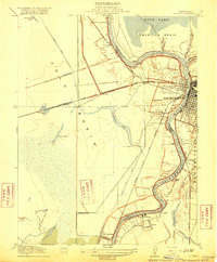 1916 Lovdal1916 Print · USGSNear the confluence of the American and Sacramento Rivers in the early 1900s, this area shows a landscape defined by levees and early rail lines. Genealogists and historians can locate the Lisbon School, the Washington Broderick P O, and industry at the Brickyard.
 - 1916 Map of Babel Slough
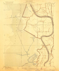 1916 Babel Slough1916 Print · USGSYolo and Sacramento counties meet along the river in the early twentieth century, showing a landscape defined by water and new reclamation canals. Genealogists and local historians can trace riverfront settlements at Clarksburg and Freeport, find the Free County Ferry, and locate the Indian Mound near Big Lake.
 - 1947 Map of Sacramento, 1948 Print
 1947 Sacramento1948 Print · USGSThe Sacramento Valley meets the high Sierra during a period of post-war expansion. Trace the historic river delta islands like Grand Island or locate early airfield footprints at McClellan Air Force Base and Mather Air Force Base.2 unique versions available
 - 1948 Map of Sacramento, 1951 Print
 1948 Sacramento1951 Print · USGSPost-war Northern California comes alive in this regional survey, capturing the era of expansion between the Central Valley and the High Sierra. Researchers can trace the rail networks of the Central California Traction and Sacramento Northern RR or locate landmarks like the State Capitol and University of California Davis.
 - 1948 Map of Sacramento West, 1958 Print
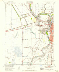 1948 Sacramento West1958 Print · USGSYolo County and the western edge of the state capital are seen here in the late forties during a period of rapid post-war growth. Genealogists and historians can trace neighborhood development in Bryte and Broderick or locate landmarks like Peethill and the Yolo Causeway.
 - 1949 Map of Sacramento West
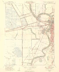 1949 Sacramento West1949 Print · USGSWest Sacramento and the neighboring river communities are documented here just after the war, showing the vital levee systems and rail lines of Yolo County. Genealogists and historians can trace Bryte, Broderick, and early neighborhood sites like Westacre Sch.2 unique versions available
 - 1949 Map of Sacramento East
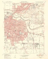 1949 Sacramento East1949 Print · USGSSacramento and its northern suburbs are shown in detail during the late 1940s, capturing the city's growth and its rail-centered economy. Genealogists and historians can trace neighborhood landmarks from St Marys Cemetery to the State Fairgrounds and the U S Army Signal Depot.2 unique versions available
 - 1952 Map of Clarksburg, 1954 Print
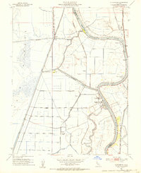 1952 Clarksburg1954 Print · USGSThe Sacramento River delta comes alive in the early 1950s, showing the intersection of heavy industry and ancient landmarks. Trace the agricultural roots of the region through the Sugar Beet Plant, find the Indian Mound, or locate the vanished stops of the Southern Pacific railroad.2 unique versions available
 - 1952 Map of Courtland, 1959 Print
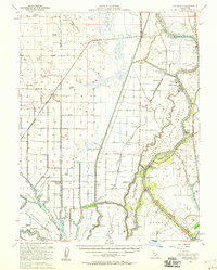 1952 Courtland1959 Print · USGSThe Sacramento Delta comes alive in the early fifties, showing a landscape defined by river commerce and sprawling ranch holdings. Family researchers can locate Tremont Cem, Liberty Sch, and long-established properties like Glide Ranch and Maxwell Ranch.3 unique versions available
 - 1954 Map of Sacramento East, 1956 Print
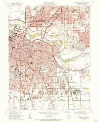 1954 Sacramento East1956 Print · USGSSacramento and its surrounding suburbs hum with mid-century activity along the American River. Genealogists and historians can trace the foundations of the capital city through landmarks like Sutter's Fort, the State Capitol, and several legacy burial grounds including St Marys County Cemetery.2 unique versions available
 - 1954 Map of Davis, 1956 Print
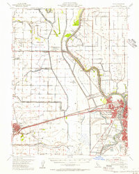 1954 Davis1956 Print · USGSMid-century Davis and West Sacramento are shown during a period of major infrastructure growth, with the Sacramento Deep Water Channel still under construction. Genealogists and researchers can trace local landmarks like Davis Cem, Capitol Sky Park, and rural schools such as Taylor Monument Sch.2 unique versions available
 - 1954 Map of Fair Oaks, 1957 Print
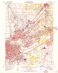 1954 Fair Oaks1957 Print · USGSSacramento and the American River suburbs underwent significant growth during the early Cold War era as military bases and new subdivisions expanded. Genealogists and historians can trace family roots through numerous schools like Grant Union HS, the St Patrick Orphanage, and small communities like Sylvan Corners.2 unique versions available
 - 1956 Map of Sacramento
 1956 Sacramento1956 Print · USGSMid-century California unfolds from the delta to the high Sierra, capturing a landscape of growing valley cities and burgeoning military airbases. Genealogists and historians can trace the rail lines and river towns from Woodland to Lodi, or explore the foothill settlements of Placerville and Jackson.2 unique versions available
 - 1957 Map of Sacramento, 1966 Print
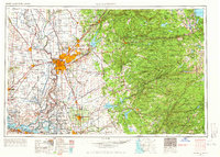 1957 Sacramento1966 Print · USGSIn the mid-twentieth century, the California heartland was a hub of river transport, rail lines, and military airbases. Genealogists and historians can trace the development of Gold Country towns like Angels Camp and Sonora or follow the path of the Southern Pacific RR through the growing suburbs of Sacramento.4 unique versions available
 - 1967 Map of Sacramento West, 1968 Print
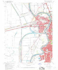 1967 Sacramento West1968 Print · USGSGreater Sacramento and its industrial waterfront come alive in this mid-century survey of the river and rail networks. Genealogists and historians can trace the growth of West Sacramento neighborhoods, the Port of Sacramento facilities, and schools like Holy Cross Sch.3 unique versions available
 - 1967 Map of Sacramento East, 1969 Print
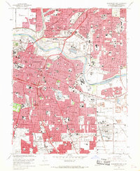 1967 Sacramento East1969 Print · USGSMid-century Sacramento is captured here during a period of rapid suburban growth and industrial strength. Researchers can trace family roots through numerous local landmarks, including St Patricks Orphanage, Sutters Fort St Hist Mon, and the Sacramento Army Depot.3 unique versions available
 - 1967 Map of Clarksburg, 1969 Print
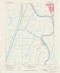 1967 Clarksburg1969 Print · USGSThe Sacramento Delta comes to life in the late sixties as a busy landscape of river commerce and rail transport. Genealogists and historians can trace the foundations of Clarksburg, locate the Pony Express Sch, and explore the reach of the Sacramento Northern railroad.5 unique versions available
 - 1992 Map of Sacramento East, 1997 Print
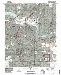 1992 Sacramento East1997 Print · USGSSacramento and its eastern suburbs are captured in the early nineties as a bustling hub of state government and military logistics. Researchers can trace historic burial grounds like East Lawn Cemetery or locate landmarks such as Sutters Fort State Historic Park and the Sacramento Army Depot.
Showing maps 1-25 of 41
Frequently asked questions
- What are the different types of historical maps available for South Land Park?
- What is the oldest map of South Land Park?
- Where can I purchase historical maps of South Land Park for my home or office?
- Where can I download high-res historical maps of South Land Park?
- Are there historical topographic maps available for South Land Park?
- Is there historical aerial imagery available for South Land Park?
- Where are historical maps of South Land Park sourced from?