2000s (21st Century) Maps of Chino Hills, California
Explore 20 historic maps of Chino Hills from the 2000s (21st Century). These maps offer a rare glimpse into what life looked like during the 2000s — showing old roads, neighborhoods, homes, and landmarks that have changed or disappeared over time.
Whether you're researching your family's past, planning a metal detecting trip, or studying how Chino Hills's landscape evolved across the 2000s, these high-resolution maps are a powerful tool for exploring the history of this region.
- Focus on a specific era: All maps on this page are from the 2000s, giving you a focused view of this time period.
- See what’s changed: Compare century-old streets, trails, and buildings to today's modern landscape using overlays and satellite layers.
- Research with precision: Use these maps for genealogy, historical research, land use analysis, or educational projects.
- View, download, or print: Maps are fully viewable online in high resolution, and can be downloaded or printed for your own records.
Start exploring Chino Hills's history through authentic maps from the 2000s. This is your window into the past.
Chino Hills, CA maps
(20)- 2012 Map of Ontario, 2012 Print
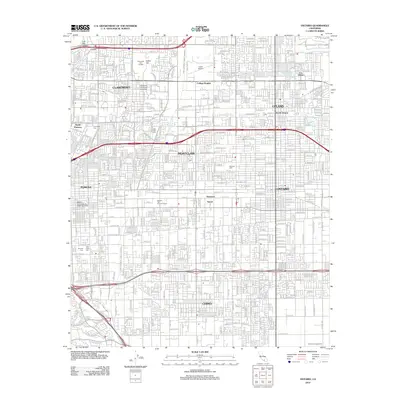 2012 Ontario2012 Print · USGSCovers Chino Hills, including Ontario, Rancho Cucamonga, and other nearby areas
 - 2012 Map of San Dimas, 2012 Print
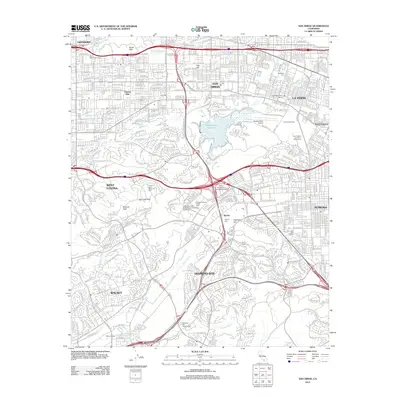 2012 San Dimas2012 Print · USGSCovers Chino Hills, including Pomona, West Covina, and other nearby areas
 - 2012 Map of Black Star Canyon, 2012 Print
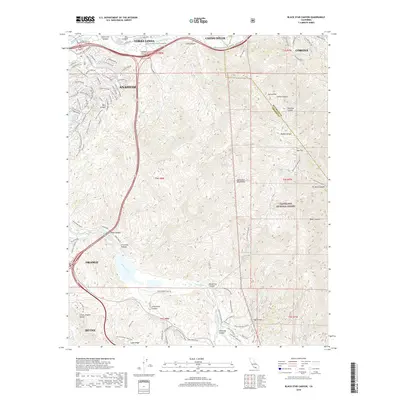
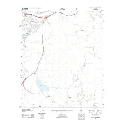 2012 Black Star Canyon2012 Print · USGSCovers Chino Hills, including Anaheim, Irvine, and other nearby areas
 - 2012 Map of Yorba Linda, 2012 Print
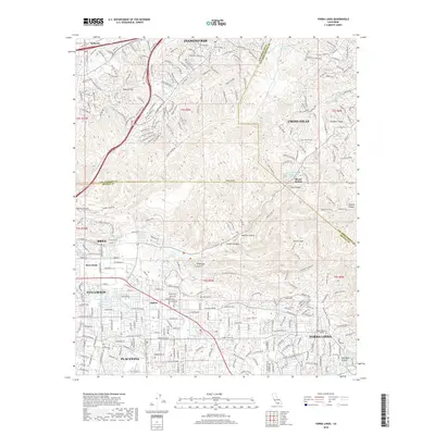
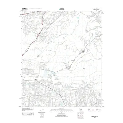 2012 Yorba Linda2012 Print · USGSCovers Chino Hills, including Anaheim, Fullerton, and other nearby areas
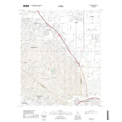
 - 2012 Map of Prado Dam, 2012 Print
 2012 Prado Dam2012 Print · USGSCovers Chino Hills, including Anaheim, Ontario, and other nearby areas
 - 2015 Map of San Dimas, 2015 Print
 2015 San Dimas2015 Print · USGSCovers Chino Hills, including Pomona, West Covina, and other nearby areas
 - 2015 Map of Ontario, 2015 Print
 2015 Ontario2015 Print · USGSCovers Chino Hills, including Ontario, Rancho Cucamonga, and other nearby areas
 - 2015 Map of Yorba Linda, 2015 Print
 2015 Yorba Linda2015 Print · USGSCovers Chino Hills, including Anaheim, Fullerton, and other nearby areas
 - 2015 Map of Black Star Canyon, 2015 Print
 2015 Black Star Canyon2015 Print · USGSCovers Chino Hills, including Anaheim, Irvine, and other nearby areas
 - 2015 Map of Prado Dam, 2015 Print
 2015 Prado Dam2015 Print · USGSCovers Chino Hills, including Anaheim, Ontario, and other nearby areas
 - 2018 Map of Ontario, 2018 Print
 2018 Ontario2018 Print · USGSCovers Chino Hills, including Ontario, Rancho Cucamonga, and other nearby areas
 - 2018 Map of San Dimas, 2018 Print
 2018 San Dimas2018 Print · USGSCovers Chino Hills, including Pomona, West Covina, and other nearby areas
 - 2018 Map of Prado Dam, 2018 Print
 2018 Prado Dam2018 Print · USGSCovers Chino Hills, including Anaheim, Ontario, and other nearby areas
 - 2018 Map of Yorba Linda, 2018 Print
 2018 Yorba Linda2018 Print · USGSCovers Chino Hills, including Anaheim, Fullerton, and other nearby areas
 - 2018 Map of Black Star Canyon, 2018 Print
 2018 Black Star Canyon2018 Print · USGSCovers Chino Hills, including Anaheim, Irvine, and other nearby areas
 - 2021 Map of Ontario, 2021 Print
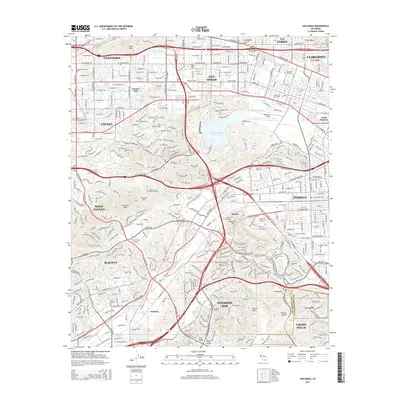
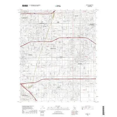
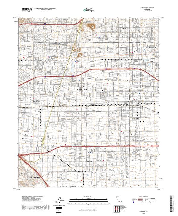 2021 Ontario2021 Print · USGSThe Inland Empire's academic and industrial heartland is captured here in the early twenty-first century. Genealogists and researchers can locate established sites like Palomares Cemetery, Cable Airport, and the various campuses of Claremont.
 - 2021 Map of San Dimas, 2021 Print
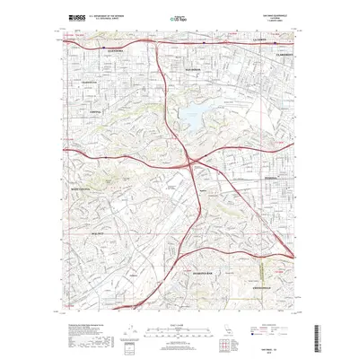
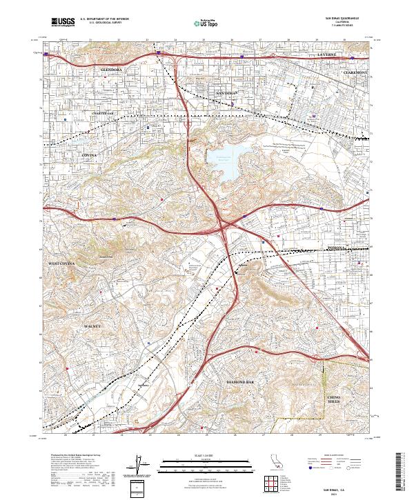 2021 San Dimas2021 Print · USGSThe San Gabriel Valley comes into focus in the early 2020s, showing the dense suburban development between the South Hills and Puente Hills. Researchers can trace institutional footprints from University of La Verne to Spadra Cem and Brackett Field.
 - 2022 Map of Yorba Linda, 2022 Print
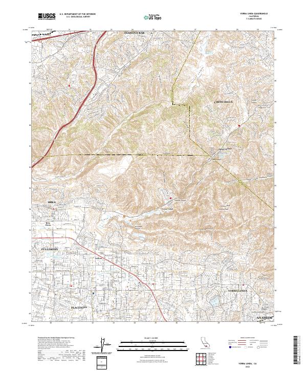 2022 Yorba Linda2022 Print · USGSYorba Linda and its neighbors in Orange and San Bernardino counties appear here in a period of extensive suburban development. Trace family roots and local growth across Yorba Linda, Placentia, and the canyons of the Chino Hills.
 - 2022 Map of Black Star Canyon, 2022 Print
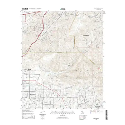
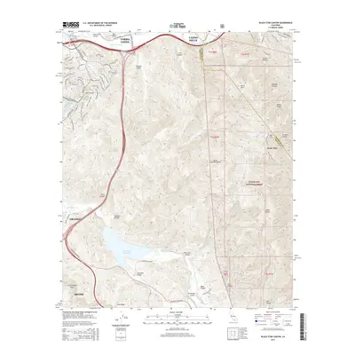
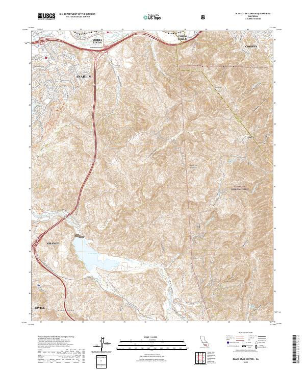 2022 Black Star Canyon2022 Print · USGSThe Orange County backcountry meets modern development in this recent survey of the Santa Ana Mountains. Researchers can trace the rugged topography of Black Star Canyon, locate Irvine Lake, and follow the Santa Ana River through the Chino Hills.
 - 2022 Map of Prado Dam, 2022 Print
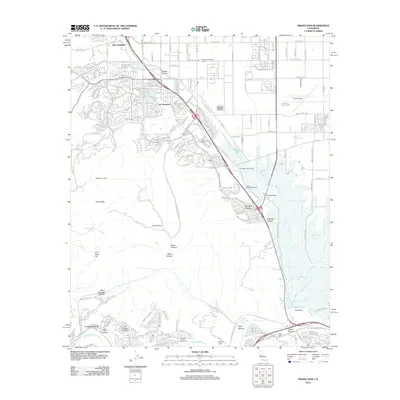
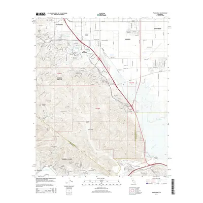
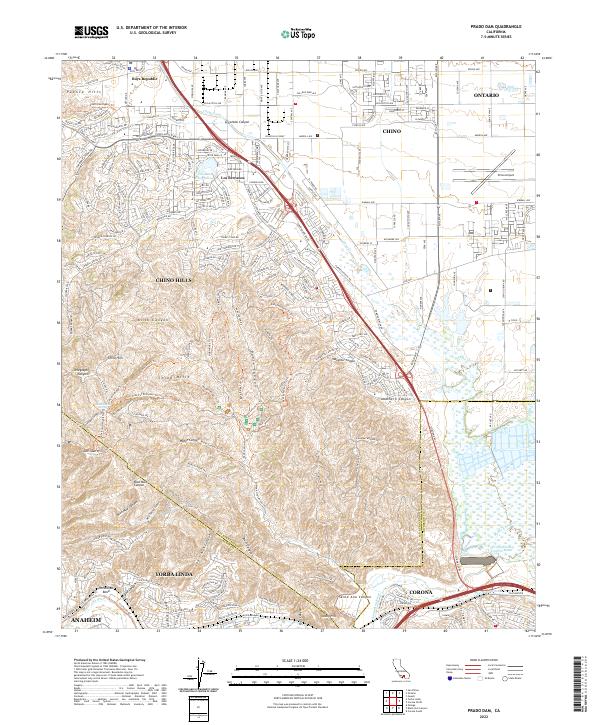 2022 Prado Dam2022 Print · USGSSouthern California's urban edge meets the wild canyonlands at the junction of three counties in the early 2020s. Researchers can map the residential growth of Los Serranos and Chino Hills or trace the geography of the Santa Ana River near the Prado Flood Control Basin.
End of results
Showing maps 1-20 of 20
Top cities near Chino Hills
- Anaheim historical maps
- Santa Ana historical maps
- Riverside historical maps
- Irvine historical maps
- Fontana historical maps
- Huntington Beach historical maps
See more
Top neighborhoods of Chino Hills
Frequently asked questions
- What are the different types of historical maps available for Chino Hills?
- What is the oldest map of Chino Hills?
- Where can I purchase historical maps of Chino Hills for my home or office?
- Where can I download high-res historical maps of Chino Hills?
- Are there historical topographic maps available for Chino Hills?
- Is there historical aerial imagery available for Chino Hills?
- Where are historical maps of Chino Hills sourced from?