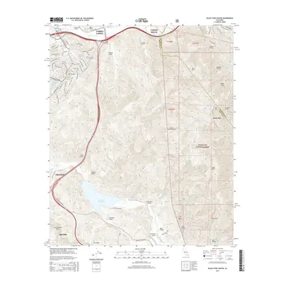
2015 Map of Black Star Canyon
USGS Topo · Published 2015About this map
Sierra Peak anchors this corner of the Santa Ana Mountains, marking the convergence of the Orange and Riverside county boundaries. The landscape is defined by deep drainages such as Black Star Canyon and Gypsum Canyon, which flow toward the Santa Ana River corridor in the north and the Santiago Reservoir in the south. The contrast between suburban expansion and protected wilderness is stark, as the residential streets of Yorba Linda and Irvine press against the rugged eastern canyons. Within the Cleveland National Forest, land-use history is recorded through sites like Beeks Place and Tin Mine Canyon. Established trails, including the Weir Canyon Trail, provide access to the interior ridges of Loma Ridge, while remote water sources like Horsetrough Spring and Mustang Spring remain critical features of the backcountry.
Find a feature on this map
80 named features on this map. Tap any name to fly to it.
Don’t see what you’re looking for? This feature index may not catch every label — zoom into the map to look around manually.
Map Details
Editions of this 2015 Black Star Canyon Map
This is the sole edition of this map. No revisions or reprints were ever made.
Other maps of this area

1896 · Santa Ana
USGS Topo · 1:62,500

1896 · Anaheim
USGS Topo · 1:62,500

1898 · Anaheim
USGS Topo · 1:62,500

1901 · Southern California Sheet No. 1
USGS Topo · 1:250,000

1901 · Santa Ana
USGS Topo · 1:62,500

1901 · Anaheim
USGS Topo · 1:62,500

1902 · Corona
USGS Topo · 1:125,000

1904 · Southern California Sheet No. 1
USGS Topo · 1:250,000

1932 · Orange
USGS Topo · 1:31,680

1932 · Tustin
USGS Topo · 1:31,680