2020s Maps of Daggett, California
Explore 4 historic maps of Daggett from the 2020s. These maps offer a rare glimpse into what life looked like during the 2020s — showing old roads, neighborhoods, homes, and landmarks that have changed or disappeared over time.
Whether you're researching your family's past, planning a metal detecting trip, or studying how Daggett's landscape evolved across the 2020s, these high-resolution maps are a powerful tool for exploring the history of this region.
- Focus on a specific era: All maps on this page are from the 2020s, giving you a focused view of this time period.
- See what’s changed: Compare century-old streets, trails, and buildings to today's modern landscape using overlays and satellite layers.
- Research with precision: Use these maps for genealogy, historical research, land use analysis, or educational projects.
- View, download, or print: Maps are fully viewable online in high resolution, and can be downloaded or printed for your own records.
Start exploring Daggett's history through authentic maps from the 2020s. This is your window into the past.
Daggett, CA maps
(4)- 2021 Map of Daggett, 2021 Print
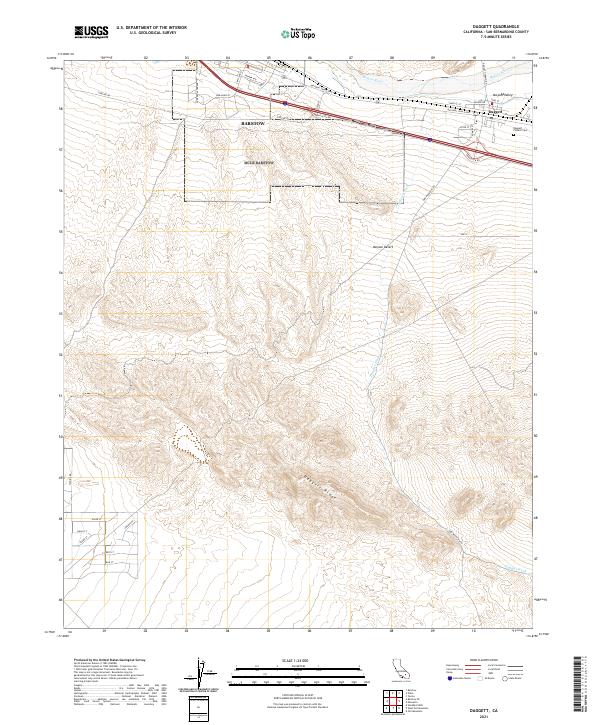 2021 Daggett2021 Print · USGSSan Bernardino County and the Mojave Desert are shown in this recent survey, tracing the geography of the historic river corridor. Genealogists and desert researchers can locate the Daggett Pioneer Cem and follow the path of the National Trails Hwy near the Mojave River.
 - 2021 Map of Minneola, 2021 Print
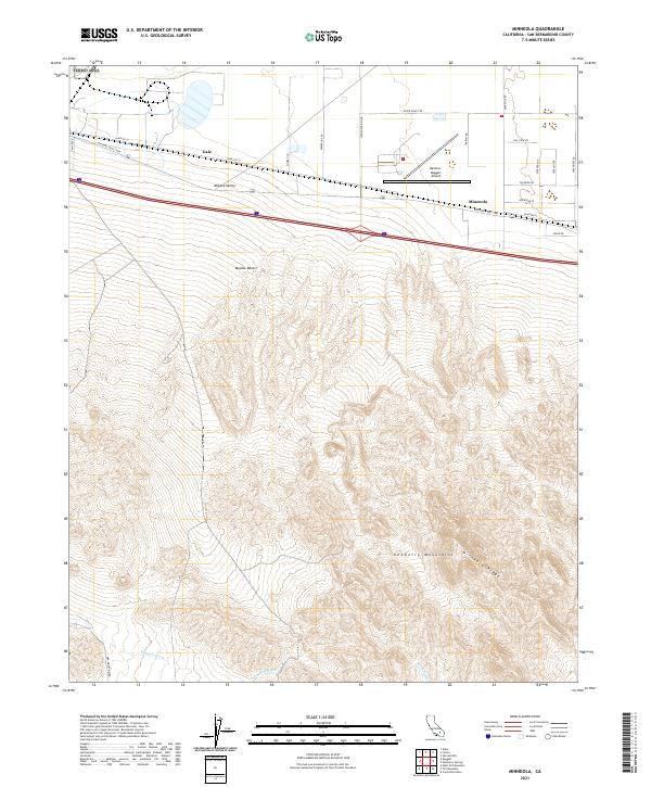 2021 Minneola2021 Print · USGSThe Mojave Valley is shown here at a fascinating intersection of desert transit and aviation history. Trace the layouts of Minneola and Gale or locate the Barstow-Daggett Airport near the iconic National Trails Hwy.
 - 2021 Map of Nebo, 2021 Print
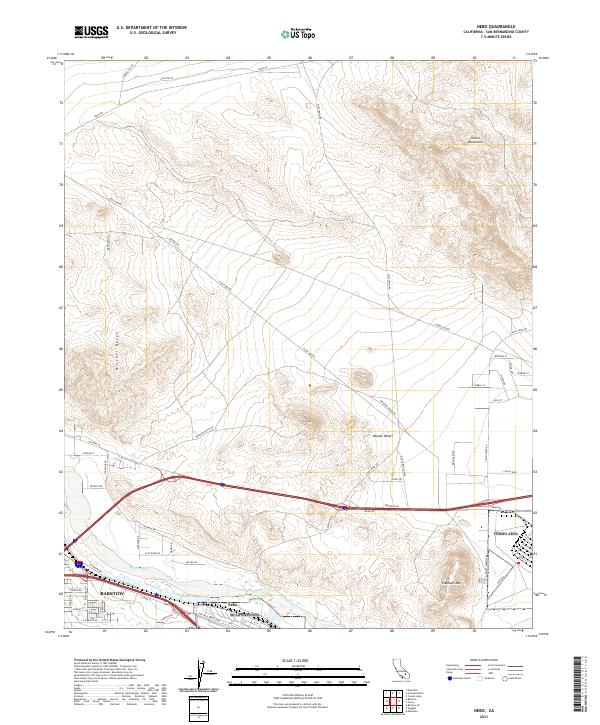 2021 Nebo2021 Print · USGSBarstow and the surrounding Mojave Desert are captured here in the early twenty-first century as they balance urban growth with vast desert terrain. Researchers can trace the infrastructure between Barstow and Nebo or locate landmarks like Lead Mtn and the winding Ghost Town Rd.
 - 2021 Map of Yermo, 2021 Print
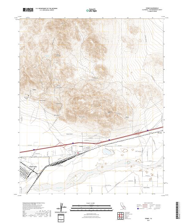 2021 Yermo2021 Print · USGSThe High Desert near Barstow comes into focus in this recent survey of the historic Calico mining district and the town of Yermo. Genealogists and desert explorers can trace the roads around Calico Cem, the Mojave River, and geological landmarks like Kramer Arch.
End of results
Showing maps 1-4 of 4
Top cities near Daggett
Frequently asked questions
- What are the different types of historical maps available for Daggett?
- What is the oldest map of Daggett?
- Where can I purchase historical maps of Daggett for my home or office?
- Where can I download high-res historical maps of Daggett?
- Are there historical topographic maps available for Daggett?
- Is there historical aerial imagery available for Daggett?
- Where are historical maps of Daggett sourced from?