Old Maps of Daggett, California for Hiking & Exploration
Hike through history with 28 historic maps of Daggett. Explore old trails, ghost towns, and forgotten backroads — perfect for outdoor adventurers and local explorers.
- Rediscover forgotten places: Map out old mining camps, roads, and footpaths that no longer exist on modern maps.
- Layer with modern tools: Combine with LiDAR or satellite views to plan hikes through historical terrain.
- Made for exploration: Popular among hikers, overlanders, and local history lovers.
Use these maps to find adventure and explore the hidden past of Daggett.
Daggett, CA maps
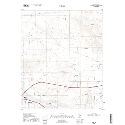
(28)- 1953 Map of San Bernardino
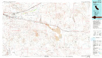
 1953 San Bernardino1953 Print · USGSSouthern California underwent massive post-war growth as suburban sprawl reached the foothills of the San Bernardino Mountains. Genealogists and historians can trace the rail-and-road roots of the Inland Empire through the Union Pacific RR and Lake Arrowhead resorts.2 unique versions available
 - 1953 Map of Yermo, 1954 Print
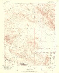
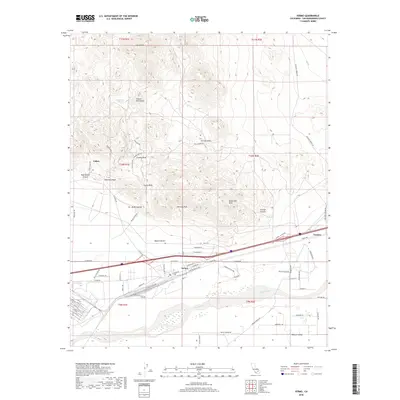
 1953 Yermo1954 Print · USGSIn the early fifties, the Mojave Desert landscape near Yermo balanced its silver mining past with growing military logistics. Trace the sites of Bismarck and Calico, old mining camps, and the expanding Yermo Marine Base.3 unique versions available
 - 1953 Map of Nebo, 1956 Print
 1953 Nebo1956 Print · USGSSan Bernardino County's high desert reveals its mid-century military and mining character as the Cold War era reshaped the Mojave. Trace the industrial footprint of the Nebo Marine Base and locate historic workings like the Silver Bow Mine or Burcham Mine.4 unique versions available
 - 1956 Map of San Bernardino
 1956 San Bernardino1956 Print · USGSSouthern California's Inland Empire and High Desert come into focus in the mid-fifties as agriculture gives way to suburban and military growth. Trace early rail lines like the Pacific Electric or find remote landmarks like Camp Rock Mine and George AFB.
 - 1956 Map of Daggett, 1957 Print
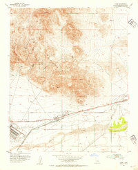
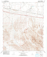
 1956 Daggett1957 Print · USGSThe Mojave Desert at the height of the Cold War reveals a landscape defined by heavy rail, military supply bases, and hard-rock mining. Trace the historic tracks of the Union Pacific through Yermo or locate the old Silver Bow Mine and Azucar Mine in the surrounding peaks.4 unique versions available
 - 1957 Map of San Bernardino
 1957 San Bernardino1957 Print · USGSSouthern California's Inland Empire and High Desert met during the postwar expansion of the late fifties. Genealogists and historians can trace the growth of San Bernardino and Redlands alongside remote landmarks like Edwards AFB and the Camp Rock Mine.
 - 1958 Map of San Bernardino, 1975 Print
 1958 San Bernardino1975 Print · USGSSouthern California’s Inland Empire and High Desert come into focus during the mid-century boom, showing the rise of suburbs and massive military installations. Researchers can trace the rail networks of the Union Pacific RR or locate landmarks like Norton AFB and Big Bear Lake.
 - 1959 Map of San Bernardino
 1959 San Bernardino1959 Print · USGSSouthern California underwent a massive transformation in the late fifties as suburban growth and military power reshaped the desert and valley. Researchers can trace the legacy of the Union Pacific Railroad and locate early footprints of Joshua Tree National Monument and Edwards Air Force Base.
 - 1966 Map of San Bernardino
 1966 San Bernardino1966 Print · USGSThe San Bernardino Valley and Mojave Desert met during a period of massive military and suburban growth in the mid-sixties. Genealogists and historians can trace the development of Edwards Air Force Base, old desert mines like the Bagdad Chase Mine, and mountain communities near Big Bear Lake.
 - 1971 Map of Daggett, 1973 Print
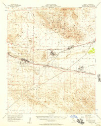
 1971 Daggett1973 Print · USGSThe high desert around the Mojave River in the early seventies shows a landscape of military logistics and rail transit. Researchers can find the McKinney Sch, Daggett Cem, and the sprawling Marine Corps Supply Center.2 unique versions available
 - 1971 Map of Minneola, 1973 Print
 1971 Minneola1973 Print · USGSThe Mojave high desert during the early seventies reveals a landscape defined by Route 66 and mountain mining. Trace the historic National Trails Highway past Minneola, locate the Azucar Mine in the hills, or study the Barstow Daggett Airport.2 unique versions available
 - 1977 Map of Newberry Springs, 1993 Print
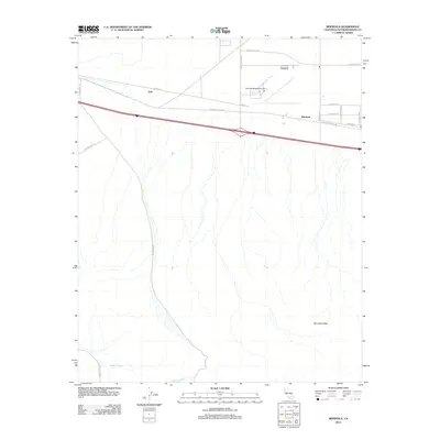
 1977 Newberry Springs1993 Print · USGSThe Mojave High Desert in the late seventies is shown here as a landscape of railroads and mining. Researchers can trace the legacy of remote camps and transport hubs like Stedman, Ragtown, and the busy Barstow-Daggett Airport.
 - 2012 Map of Yermo, 2012 Print
 2012 Yermo2012 Print · USGSCovers Daggett, including Yermo, Newberry Springs, and other nearby areas
 - 2012 Map of Minneola, 2012 Print
 2012 Minneola2012 Print · USGSCovers Daggett, including Newberry Springs, San Bernardino County, and other nearby areas
 - 2012 Map of Daggett, 2012 Print
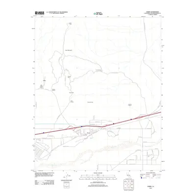
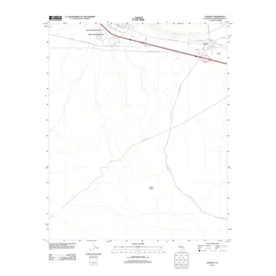 2012 Daggett2012 Print · USGSCovers Daggett, including Barstow, Desert View Housing Area, and other nearby areas
 - 2012 Map of Nebo, 2012 Print
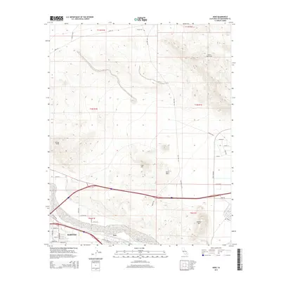
 2012 Nebo2012 Print · USGSCovers Daggett, including Barstow, Yermo, and other nearby areas
 - 2015 Map of Nebo, 2015 Print
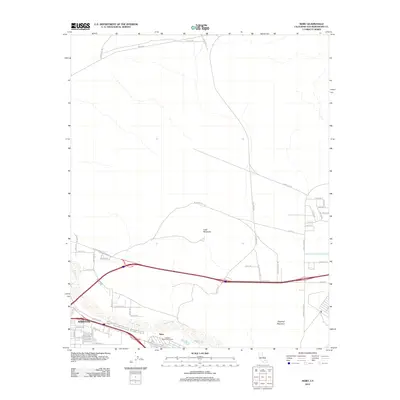
 2015 Nebo2015 Print · USGSCovers Daggett, including Barstow, Yermo, and other nearby areas
 - 2015 Map of Daggett, 2015 Print
 2015 Daggett2015 Print · USGSCovers Daggett, including Barstow, Desert View Housing Area, and other nearby areas
 - 2015 Map of Yermo, 2015 Print
 2015 Yermo2015 Print · USGSCovers Daggett, including Yermo, Newberry Springs, and other nearby areas
 - 2015 Map of Minneola, 2015 Print
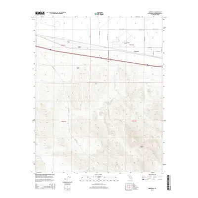 2015 Minneola2015 Print · USGSCovers Daggett, including Newberry Springs, San Bernardino County, and other nearby areas
 - 2018 Map of Daggett, 2018 Print
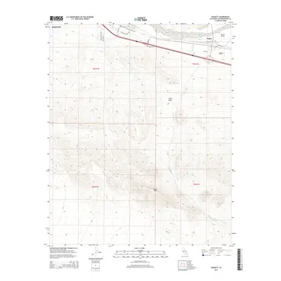
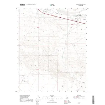 2018 Daggett2018 Print · USGSCovers Daggett, including Barstow, Desert View Housing Area, and other nearby areas
 - 2018 Map of Minneola, 2018 Print
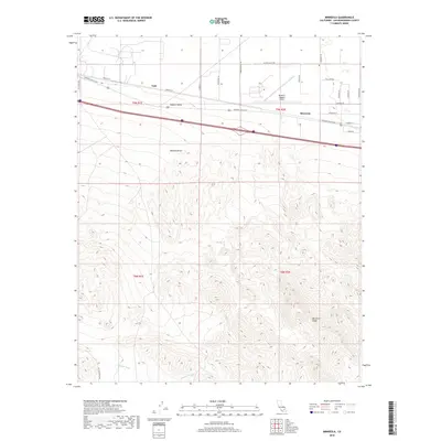 2018 Minneola2018 Print · USGSCovers Daggett, including Newberry Springs, San Bernardino County, and other nearby areas
 - 2018 Map of Nebo, 2018 Print
 2018 Nebo2018 Print · USGSCovers Daggett, including Barstow, Yermo, and other nearby areas
 - 2018 Map of Yermo, 2018 Print
 2018 Yermo2018 Print · USGSCovers Daggett, including Yermo, Newberry Springs, and other nearby areas
 - 2021 Map of Daggett, 2021 Print
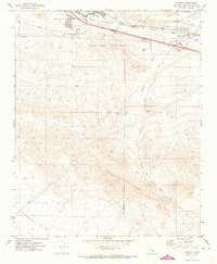
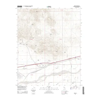
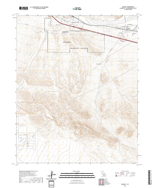 2021 Daggett2021 Print · USGSSan Bernardino County and the Mojave Desert are shown in this recent survey, tracing the geography of the historic river corridor. Genealogists and desert researchers can locate the Daggett Pioneer Cem and follow the path of the National Trails Hwy near the Mojave River.
Showing maps 1-25 of 28
Top cities near Daggett
Frequently asked questions
- What are the different types of historical maps available for Daggett?
- What is the oldest map of Daggett?
- Where can I purchase historical maps of Daggett for my home or office?
- Where can I download high-res historical maps of Daggett?
- Are there historical topographic maps available for Daggett?
- Is there historical aerial imagery available for Daggett?
- Where are historical maps of Daggett sourced from?