Old Maps of Echo, California for Hiking & Exploration
Hike through history with 14 historic maps of Echo. Explore old trails, ghost towns, and forgotten backroads — perfect for outdoor adventurers and local explorers.
- Rediscover forgotten places: Map out old mining camps, roads, and footpaths that no longer exist on modern maps.
- Layer with modern tools: Combine with LiDAR or satellite views to plan hikes through historical terrain.
- Made for exploration: Popular among hikers, overlanders, and local history lovers.
Use these maps to find adventure and explore the hidden past of Echo.
Echo, CA maps
(14)- 1933 Map of Avawatz Mountains
 1933 Avawatz Mountains1933 Print · USGSThe Mojave Desert and Death Valley transition through a period of mining and rail expansion in the early thirties. Researchers can trace the routes of the Tonopah and Tidewater RR and locate historical sites like Ashford Mill and the Epsom Salts Works.5 unique versions available
 - 1947 Map of Trona, 1948 Print
 1947 Trona1948 Print · USGSThe Mojave Desert and Southern Sierra foothills come alive in the late 1940s, showing the industrial nodes of the Argus Range and the burgeoning Camp Irwin. Trace the legacy of desert mining and railroading through Trona, the Ashford Mill, and the historic districts of Randsburg and Garlock.
 - 1948 Map of Trona
 1948 Trona1948 Print · USGSThe Mojave Desert and Death Valley frontier appear here during a mid-century era of military expansion and industrial mining. Trace the remnants of the Old Spanish Trail or locate isolated landmarks like Ashford Mill and the mining hub of Randsburg.
 - 1948 Map of Goldstone Lake, 1964 Print
 1948 Goldstone Lake1964 Print · USGSThe Mojave Desert landscape of the late 1940s is captured here as the region shifted toward military use. Researchers can trace early routes through Superior Valley and locate the dry beds of Goldstone Lake, McLean Lake, and Nelson Lake.2 unique versions available
 - 1951 Map of Goldstone Lake
 1951 Goldstone Lake1951 Print · USGSThe Mojave Desert at mid-century reveals a landscape of high-altitude basins and strict federal boundaries. Genealogists and desert historians can trace the isolated settlement of Goldstone and ephemeral water sources like McLean Lake or Nelson Lake near the Camp Irwin Road.
 - 1953 Map of Trona, 1956 Print
 1953 Trona1956 Print · USGSThe high desert of San Bernardino and Inyo counties during the early Cold War reveals a landscape of mineral industry and military expansion. You can trace the Old Spanish Trail, locate the Trona potash works, and find remote outposts like Ashford Mill.
 - 1957 Map of Trona, 1964 Print
 1957 Trona1964 Print · USGSThe High Desert in the mid-fifties is captured here as a landscape of remote mining outposts and growing military installations. Trace the industrial rail lines to Trona, the mining history of Randsburg, or the isolated expanse of the Naval Ordnance Test Station.5 unique versions available
 - 1960 Map of Trona
 1960 Trona1960 Print · USGSThe Mojave Desert at mid-century reveals a landscape of massive military installations and industrial mineral works. Researchers can trace the heritage of mining and ranching at Ashford Mill, Randsburg, and Paxton Ranch while following the Old Spanish Trail.2 unique versions available
 - 1986 Map of East of Goldstone
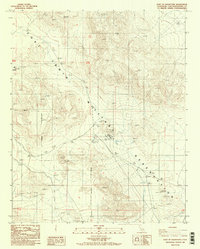 1986 East of Goldstone1986 Print · USGSThe Mojave Desert comes into focus in the mid-1980s at the Fort Irwin Military Reservation, where defense infrastructure meets high-altitude terrain. Researchers can locate remote outposts like Apollo and Echo or trace the locations of several prospects and Radio Towers used during this era.2 unique versions available
 - 1993 Map of Soda Mountains
 1993 Soda Mountains1993 Print · USGSSan Bernardino County's high desert reveals its military and mining foundations in the 1990s. Trace the expanses of Fort Irwin or locate historic operations like the Goldstone Mine and Silver Lake Mine along the Union Pacific Railroad.
 - 2012 Map of East of Goldstone, 2012 Print
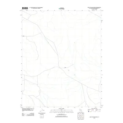 2012 East of Goldstone2012 Print · USGSThe Mojave Desert interior comes into focus during the early 2010s, revealing the remote landscape east of Goldstone. Researchers can trace the layout of desert tracks and drainages connecting the named points of Apollo and Echo across the arid flats.
 - 2015 Map of East of Goldstone, 2015 Print
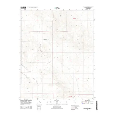 2015 East of Goldstone2015 Print · USGSThe High Mojave Desert reveals its scientific character in this 2015 survey of isolated stations and specialized roads. Trace the remote infrastructure of Echo and Apollo via named routes like Goldstone Rd and Venus Station Rd.
 - 2018 Map of East of Goldstone, 2018 Print
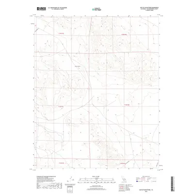 2018 East of Goldstone2018 Print · USGSThe high Mojave Desert in 2018 reveals a unique landscape where scientific advancement meets remote wilderness. Genealogists and historians can trace the modern roads and service routes surrounding the NASA facilities, including Goldstone Rd and the path to Gemini Station.
 - 2021 Map of East of Goldstone, 2021 Print
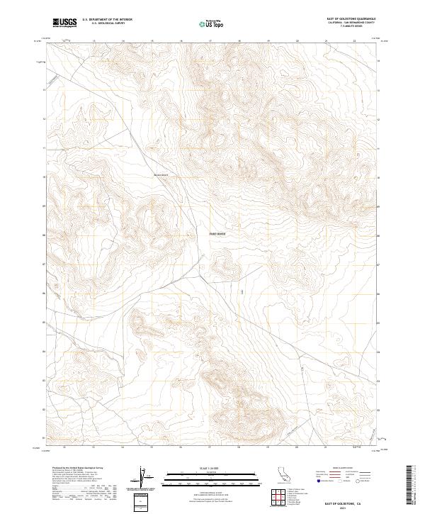 2021 East of Goldstone2021 Print · USGSHigh-desert technology and isolation meet in the contemporary San Bernardino desert. Researchers can trace the specialized infrastructure of the Mojave Desert along Goldstone Rd and locate remote outposts like Gemini Station.
End of results
Showing maps 1-14 of 14
Top cities near Echo
Frequently asked questions
- What are the different types of historical maps available for Echo?
- What is the oldest map of Echo?
- Where can I purchase historical maps of Echo for my home or office?
- Where can I download high-res historical maps of Echo?
- Are there historical topographic maps available for Echo?
- Is there historical aerial imagery available for Echo?
- Where are historical maps of Echo sourced from?