Old Maps of Spangler, California for Genealogy
Trace your family roots with 14 historic maps of Spangler. These high-res maps reveal old neighborhoods, homesites, landmarks, and streets — helping you uncover where your ancestors lived and how the area evolved over time.
- Explore historic neighborhoods: Identify where your relatives may have lived in the 1800s or 1900s.
- Compare maps over time: Trace the changes in streets, buildings, and landmarks for multi-generational research.
- Perfect for genealogy & ancestry research: Used by family historians and researchers to map out lineage and migration.
These maps are an incredible resource for exploring your personal connection to Spangler's past.
Spangler, CA maps
(14)- 1915 Map of Searles Lake
 1915 Searles Lake1915 Print · USGSThe Mojave Desert at the height of its early mining boom features a landscape defined by the Trona RR and the thriving gold camps of the Rand Mountains. Genealogists and historians can trace the foundations of Randsburg, the soda works at Trona, and remote outposts like Muerto Leliter PO and Garlock.6 unique versions available
 - 1947 Map of Trona, 1948 Print
 1947 Trona1948 Print · USGSThe Mojave Desert and Southern Sierra foothills come alive in the late 1940s, showing the industrial nodes of the Argus Range and the burgeoning Camp Irwin. Trace the legacy of desert mining and railroading through Trona, the Ashford Mill, and the historic districts of Randsburg and Garlock.
 - 1948 Map of Trona
 1948 Trona1948 Print · USGSThe Mojave Desert and Death Valley frontier appear here during a mid-century era of military expansion and industrial mining. Trace the remnants of the Old Spanish Trail or locate isolated landmarks like Ashford Mill and the mining hub of Randsburg.
 - 1949 Map of Searles Lake, 1960 Print
 1949 Searles Lake1960 Print · USGSSan Bernardino's high desert reveals an era of intense mineral production and military expansion just after the war. Researchers can trace the industrial footprint of Westend and South Trona or locate landmarks like The Pinnacles and Spangler.3 unique versions available
 - 1950 Map of Searles Lake
 1950 Searles Lake1950 Print · USGSMid-century San Bernardino County reveals an intensive desert industrial landscape along the western shore of Searles Lake. Researchers can trace the rail-linked settlements of South Trona, Westend, and Argus, or locate mineral prospects tucked into the Spangler Hills.
 - 1953 Map of Trona, 1956 Print
 1953 Trona1956 Print · USGSThe high desert of San Bernardino and Inyo counties during the early Cold War reveals a landscape of mineral industry and military expansion. You can trace the Old Spanish Trail, locate the Trona potash works, and find remote outposts like Ashford Mill.
 - 1957 Map of Trona, 1964 Print
 1957 Trona1964 Print · USGSThe High Desert in the mid-fifties is captured here as a landscape of remote mining outposts and growing military installations. Trace the industrial rail lines to Trona, the mining history of Randsburg, or the isolated expanse of the Naval Ordnance Test Station.5 unique versions available
 - 1960 Map of Trona
 1960 Trona1960 Print · USGSThe Mojave Desert at mid-century reveals a landscape of massive military installations and industrial mineral works. Researchers can trace the heritage of mining and ranching at Ashford Mill, Randsburg, and Paxton Ranch while following the Old Spanish Trail.2 unique versions available
 - 1973 Map of Spangler Hills East, 1976 Print
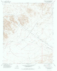 1973 Spangler Hills East1976 Print · USGSThe eastern Spangler Hills and Searles Valley are shown in the 1970s as part of the military landscape. Researchers can trace the Trona Road, locate a Dry Well, and see the extent of the China Lake Naval Weapons Center.
 - 1993 Map of Ridgecrest
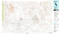 1993 Ridgecrest1993 Print · USGSThe northern Mojave Desert comes into focus in the 1990s as a complex landscape of military research and industrial salt harvesting. Researchers can trace the extensive Trona Railway and Southern Pacific lines through desert outposts like Inyokern and Little Lake.2 unique versions available
 - 2012 Map of Spangler Hills East, 2012 Print
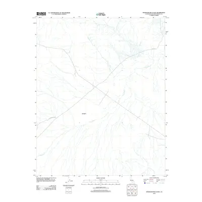 2012 Spangler Hills East2012 Print · USGSThe high desert of San Bernardino County is revealed in the early twenty-first century, centered on the settlement of Spangler. Researchers and outdoor enthusiasts can trace the paths of Stephens Mine Cutoff and Pinnacle Rd as they cross the seasonal drainage of Teagle Wash.
 - 2015 Map of Spangler Hills East, 2015 Print
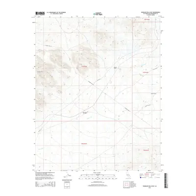 2015 Spangler Hills East2015 Print · USGSThe northern Mojave Desert comes into focus in this 2015 survey, illustrating the desert settlement of Spangler and its surrounding basins. Researchers can trace the drainage of Teagle Wash and the paths of Randsburg Wash Rd through the Spangler Hills.
 - 2018 Map of Spangler Hills East, 2018 Print
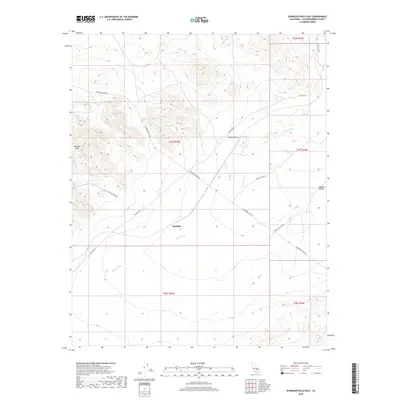 2018 Spangler Hills East2018 Print · USGSThe Mojave Desert landscape near the turn of the 21st century remains a territory of remote mining roads and dry washes. Genealogists and desert historians can trace the routes around Spangler, Searles Valley, and the old path of Stephens Mine Rd.
 - 2021 Map of Spangler Hills East, 2021 Print
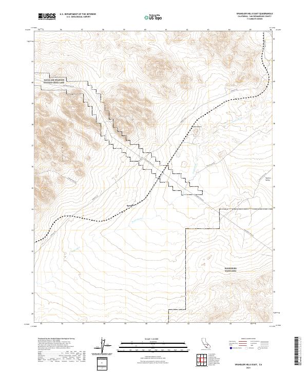 2021 Spangler Hills East2021 Print · USGSThe Spangler Hills and eastern Mojave Desert are revealed in this recent topographical study. Genealogists and local historians can trace old mining access routes like Stephens Mine Rd and the desert settlement of Spangler near Teagle Wash.
End of results
Showing maps 1-14 of 14
Top cities near Spangler
Frequently asked questions
- What are the different types of historical maps available for Spangler?
- What is the oldest map of Spangler?
- Where can I purchase historical maps of Spangler for my home or office?
- Where can I download high-res historical maps of Spangler?
- Are there historical topographic maps available for Spangler?
- Is there historical aerial imagery available for Spangler?
- Where are historical maps of Spangler sourced from?