2000s (21st Century) Maps of Chula Vista, California
Explore 16 historic maps of Chula Vista from the 2000s (21st Century). These maps offer a rare glimpse into what life looked like during the 2000s — showing old roads, neighborhoods, homes, and landmarks that have changed or disappeared over time.
Whether you're researching your family's past, planning a metal detecting trip, or studying how Chula Vista's landscape evolved across the 2000s, these high-resolution maps are a powerful tool for exploring the history of this region.
- Focus on a specific era: All maps on this page are from the 2000s, giving you a focused view of this time period.
- See what’s changed: Compare century-old streets, trails, and buildings to today's modern landscape using overlays and satellite layers.
- Research with precision: Use these maps for genealogy, historical research, land use analysis, or educational projects.
- View, download, or print: Maps are fully viewable online in high resolution, and can be downloaded or printed for your own records.
Start exploring Chula Vista's history through authentic maps from the 2000s. This is your window into the past.
Chula Vista, CA maps
(16)- 2012 Map of Imperial Beach, 2012 Print
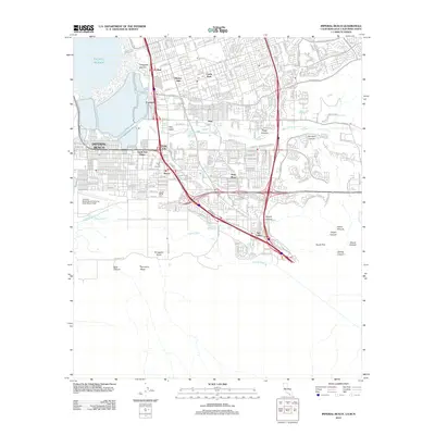 2012 Imperial Beach2012 Print · USGSThe South Bay region of San Diego comes into focus during this era of modern expansion near the international border. Researchers can trace the development of Imperial Beach alongside established neighborhoods like Nestor and the military grounds of Ream Field.
 - 2012 Map of Otay Mesa, 2012 Print
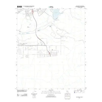 2012 Otay Mesa2012 Print · USGSOtay Mesa and the San Diego borderlands appear in the early 2010s as a landscape of high-tech aviation and deep canyons. Researchers can trace the legacy of local agriculture at Otay Ranch and Kuebler Ranch or locate infrastructure like Brown Field Municipal Airport.
 - 2012 Map of National City, 2012 Print
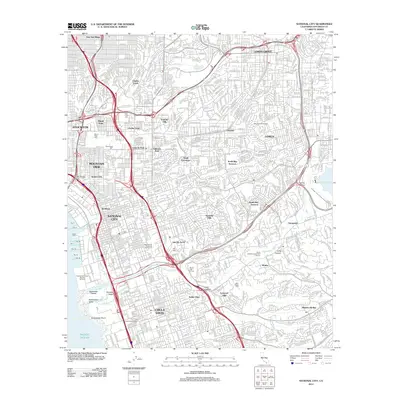 2012 National City2012 Print · USGSThe San Diego coast near National City and Chula Vista is shown here during a period of intense urban density and infrastructure. Genealogists can locate several major burial grounds including Holy Cross Cem and La Vista Cem, or trace the path of the Second San Diego Aqueduct.
 - 2012 Map of Jamul Mountains, 2012 Print
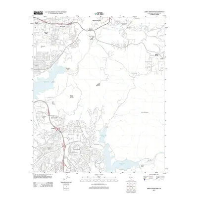 2012 Jamul Mountains2012 Print · USGSSan Diego's eastern foothills show a mix of rapid suburban growth and rugged backcountry in the early twenty-first century. Genealogists and local historians can trace the borders of older landholdings like Fenton Ranch and Rancho del Otay or locate local landmarks like John Nichol's Field Airport.
 - 2015 Map of Jamul Mountains, 2015 Print
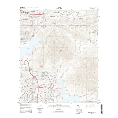 2015 Jamul Mountains2015 Print · USGSSan Diego's inland valleys and rugged peaks are captured here in the mid-2010s, showing the intersection of suburban growth and conservation. Trace the development of communities like Eastlake Greens and Cockatoo Grove alongside landmarks like San Miguel Mtn and the Sweetwater Reservoir.
 - 2015 Map of Otay Mesa, 2015 Print
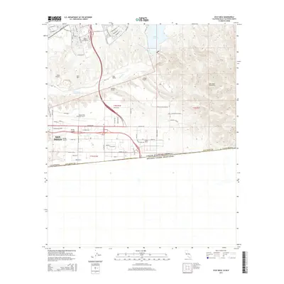 2015 Otay Mesa2015 Print · USGSThe international border and the bustling aviation hub of Brown Field Municipal Airport anchor this 2015 survey of southern San Diego. Researchers can trace the descent of the Otay River from Lower Otay Lake through Otay Valley.
 - 2015 Map of National City, 2015 Print
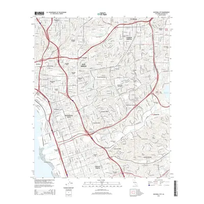 2015 National City2015 Print · USGSSoutheastern San Diego and National City appear in the mid-2010s as a dense network of suburban neighborhoods and major memorial parks. Researchers can trace land use through the sprawling Mount Hope Cemetery or locate landmarks like Dictionary Hill and the Sweetwater Reservoir.
 - 2015 Map of Imperial Beach, 2015 Print
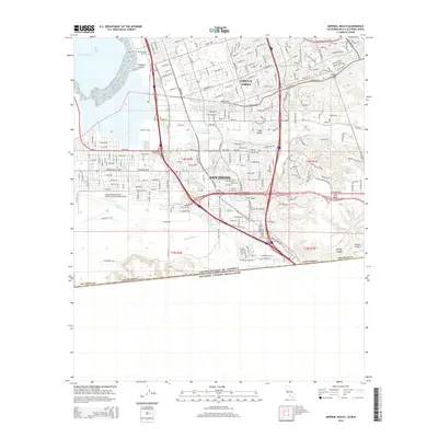 2015 Imperial Beach2015 Print · USGSThe international border and Pacific coast meet here during the mid-2010s, showing a landscape defined by military sites and suburban growth. You can trace the Tijuana River as it flows toward the sea near the Ream Field naval installation.
 - 2018 Map of National City, 2018 Print
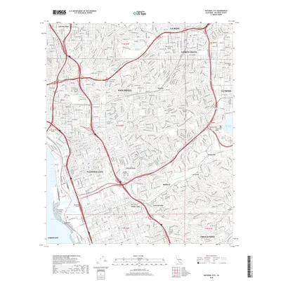 2018 National City2018 Print · USGSNational City and South San Diego County are shown here in the late twenty-teens, highlighting a landscape of dense suburban growth and massive memorial grounds. Researchers can trace family history through sites like Holy Cross Cem and Lincoln Acres or follow the Sweetwater River to the bay.
 - 2018 Map of Jamul Mountains, 2018 Print
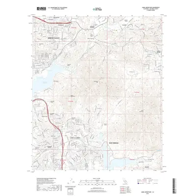 2018 Jamul Mountains2018 Print · USGSThe San Diego foothills are captured here in the late 2010s as suburban expansion meets the reservoir system. Researchers can trace the development of Spring Valley and Chula Vista alongside landmarks like Cuyamaca College and the Upper Otay Lake.
 - 2018 Map of Otay Mesa, 2018 Print
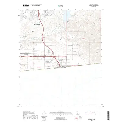 2018 Otay Mesa2018 Print · USGSThe southern borderlands of California meet the Mexican frontier in this detailed late-2010s study. Researchers can trace the modern development of Chula Vista alongside major regional hubs like Brown Field Municipal Airport and the Lower Otay Lake reservoirs.
 - 2018 Map of Imperial Beach, 2018 Print
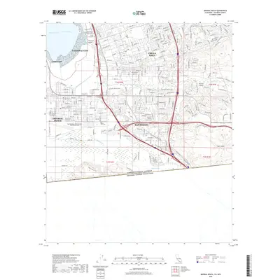 2018 Imperial Beach2018 Print · USGSThe California-Mexico borderlands come into sharp focus in the late 2010s, showing the intersection of international boundaries and coastal urban development. Researchers can trace the perimeter of the Ream Field or follow the Equestrian Trail through the Tijuana River valley.
 - 2021 Map of National City, 2021 Print
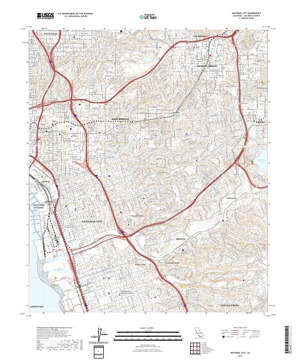 2021 National City2021 Print · USGSNational City and the southeastern San Diego suburbs are shown in 2021 as a mature urban landscape defined by the Sweetwater River. Researchers can trace local landmarks from Dictionary Hill to the sprawling grounds of La Vista Memorial Park and Greenwood Cem.
 - 2021 Map of Imperial Beach, 2021 Print
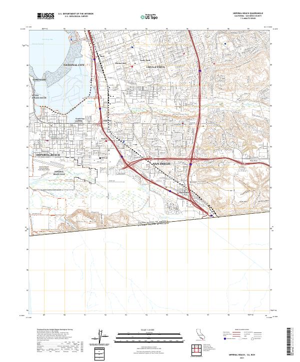 2021 Imperial Beach2021 Print · USGSThe California-Mexico border and the shores of San Diego Bay meet in this contemporary survey of the South Bay. Researchers can trace the modern layout of Nestor, Palm City, and San Ysidro or locate landmarks like Mount Olivet Cem and Border Field State Park.
 - 2021 Map of Otay Mesa, 2021 Print
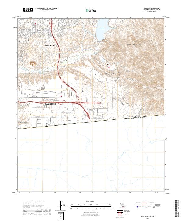 2021 Otay Mesa2021 Print · USGSOtay Mesa at the start of the 2020s shows the intensifying industrial and residential development along the international border. Trace the modern landscape from the Brown Field Municipal Airport to the rugged terrain of the San Ysidro Mountains and Lower Otay Lake.
 - 2021 Map of Jamul Mountains, 2021 Print
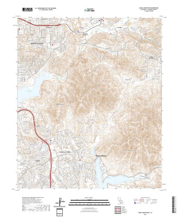 2021 Jamul Mountains2021 Print · USGSSan Diego's eastern suburbs and interior canyons are captured here during a period of modern expansion. Researchers can trace the development of Spring Valley and Chula Vista alongside landmarks like Upper Otay Lake and Southwestern College.
End of results
Showing maps 1-16 of 16
Top cities near Chula Vista
- San Diego historical maps
- El Cajon historical maps
- La Mesa historical maps
- Santee historical maps
- National City historical maps
- La Presa historical maps
See more
Top neighborhoods of Chula Vista
- Harbor Side historical maps
- Rancho del Rey historical maps
- Sunny Vista historical maps
- Eastlake Greens historical maps
- Wolf Canyon historical maps
- Cota Vera historical maps
See more
Frequently asked questions
- What are the different types of historical maps available for Chula Vista?
- What is the oldest map of Chula Vista?
- Where can I purchase historical maps of Chula Vista for my home or office?
- Where can I download high-res historical maps of Chula Vista?
- Are there historical topographic maps available for Chula Vista?
- Is there historical aerial imagery available for Chula Vista?
- Where are historical maps of Chula Vista sourced from?