2000s (21st Century) Maps of Escondido, California
Explore 24 historic maps of Escondido from the 2000s (21st Century). These maps offer a rare glimpse into what life looked like during the 2000s — showing old roads, neighborhoods, homes, and landmarks that have changed or disappeared over time.
Whether you're researching your family's past, planning a metal detecting trip, or studying how Escondido's landscape evolved across the 2000s, these high-resolution maps are a powerful tool for exploring the history of this region.
- Focus on a specific era: All maps on this page are from the 2000s, giving you a focused view of this time period.
- See what’s changed: Compare century-old streets, trails, and buildings to today's modern landscape using overlays and satellite layers.
- Research with precision: Use these maps for genealogy, historical research, land use analysis, or educational projects.
- View, download, or print: Maps are fully viewable online in high resolution, and can be downloaded or printed for your own records.
Start exploring Escondido's history through authentic maps from the 2000s. This is your window into the past.
Escondido, CA maps
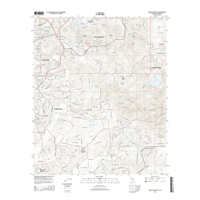
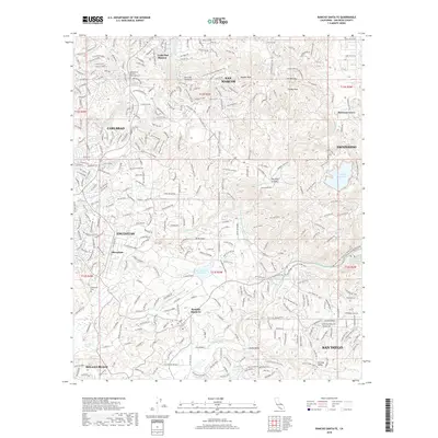
(24)- 2012 Map of Rodriguez Mountain, 2012 Print
 2012 Rodriguez Mountain2012 Print · USGSCovers Escondido, including San Diego County, United States, and other nearby areas
 - 2012 Map of San Pasqual, 2012 Print
 2012 San Pasqual2012 Print · USGSCovers Escondido, including San Diego, Poway, and other nearby areas
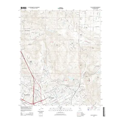
 - 2012 Map of Valley Center, 2012 Print
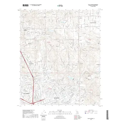
 2012 Valley Center2012 Print · USGSCovers Escondido, including San Marcos, Valley Center, and other nearby areas
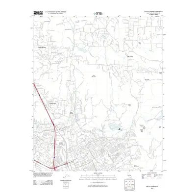
 - 2012 Map of Escondido, 2012 Print
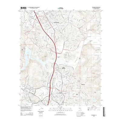
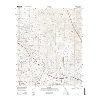
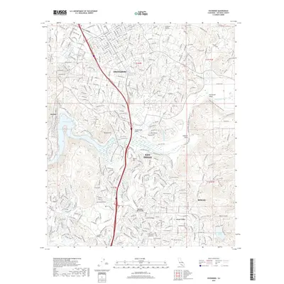
 2012 Escondido2012 Print · USGSCovers Escondido, including San Diego, Poway, and other nearby areas
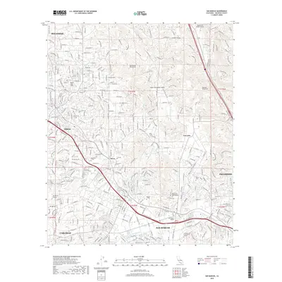
 - 2012 Map of San Marcos, 2012 Print
 2012 San Marcos2012 Print · USGSCovers Escondido, including Oceanside, Carlsbad, and other nearby areas
 - 2012 Map of Rancho Santa Fe, 2012 Print
 2012 Rancho Santa Fe2012 Print · USGSCovers Escondido, including San Diego, Carlsbad, and other nearby areas
 - 2015 Map of San Pasqual, 2015 Print
 2015 San Pasqual2015 Print · USGSCovers Escondido, including San Diego, Poway, and other nearby areas
 - 2015 Map of Rodriguez Mountain, 2015 Print
 2015 Rodriguez Mountain2015 Print · USGSCovers Escondido, including San Diego County, United States, and other nearby areas
 - 2015 Map of Escondido, 2015 Print
 2015 Escondido2015 Print · USGSCovers Escondido, including San Diego, Poway, and other nearby areas
 - 2015 Map of Valley Center, 2015 Print
 2015 Valley Center2015 Print · USGSCovers Escondido, including San Marcos, Valley Center, and other nearby areas
 - 2015 Map of San Marcos, 2015 Print
 2015 San Marcos2015 Print · USGSCovers Escondido, including Oceanside, Carlsbad, and other nearby areas
 - 2015 Map of Rancho Santa Fe, 2015 Print
 2015 Rancho Santa Fe2015 Print · USGSCovers Escondido, including San Diego, Carlsbad, and other nearby areas
 - 2018 Map of Rodriguez Mountain, 2018 Print
 2018 Rodriguez Mountain2018 Print · USGSCovers Escondido, including San Diego County, United States, and other nearby areas
 - 2018 Map of San Pasqual, 2018 Print
 2018 San Pasqual2018 Print · USGSCovers Escondido, including San Diego, Poway, and other nearby areas
 - 2018 Map of Escondido, 2018 Print
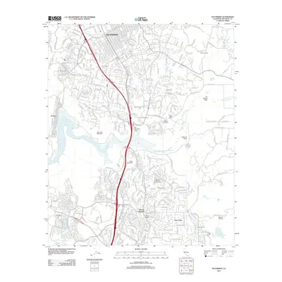
 2018 Escondido2018 Print · USGSCovers Escondido, including San Diego, Poway, and other nearby areas
 - 2018 Map of Valley Center, 2018 Print
 2018 Valley Center2018 Print · USGSCovers Escondido, including San Marcos, Valley Center, and other nearby areas
 - 2018 Map of San Marcos, 2018 Print
 2018 San Marcos2018 Print · USGSCovers Escondido, including Oceanside, Carlsbad, and other nearby areas
 - 2018 Map of Rancho Santa Fe, 2018 Print
 2018 Rancho Santa Fe2018 Print · USGSCovers Escondido, including San Diego, Carlsbad, and other nearby areas
 - 2021 Map of Rancho Santa Fe, 2021 Print
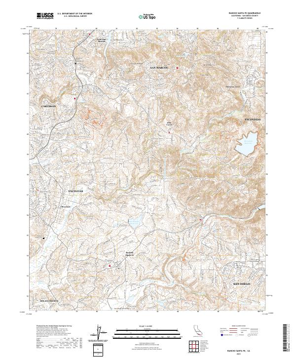 2021 Rancho Santa Fe2021 Print · USGSThe coastal hills of San Diego County are captured here during their modern development phase in the early 2020s. Researchers can pinpoint early local history at the Meadowlark Pioneer Memorial Cem or trace the geography of the Osuna Valley and Elfin Forest.
 - 2021 Map of San Pasqual, 2021 Print
 2021 San Pasqual2021 Print · USGSThe San Pasqual Valley and its surrounding highlands are captured here in the early twenty-first century as modern development meets historic ranchlands. Researchers can trace ancestral sites at the San Pasqual Indian Cem and follow old routes through Bandy Canyon or up Woodson Mtn.
 - 2021 Map of Rodriguez Mountain, 2021 Print
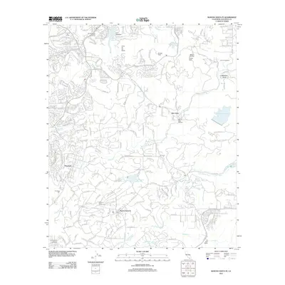
 2021 Rodriguez Mountain2021 Print · USGSIn the highlands of San Diego County during the early twenty-first century, this landscape reveals a complex network of canyons and water engineering. Researchers can trace the path of the Escondido Canal and locate family landmarks like Ahearn Ranch Rd near Rodriguez Mtn.
 - 2022 Map of Valley Center, 2022 Print
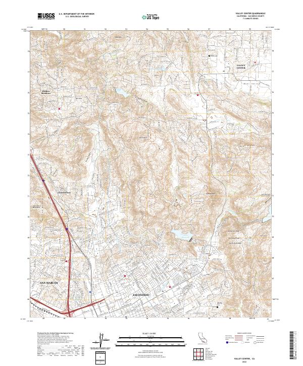 2022 Valley Center2022 Print · USGSUpper San Diego County comes into focus here as the growing outskirts of Escondido meet the high ridges of the Merriam Mountains. Local historians can trace the San Diego Aqueduct and locate the Valley Center Cem or Lake Wohlford Resort Airport.
 - 2022 Map of Escondido, 2022 Print
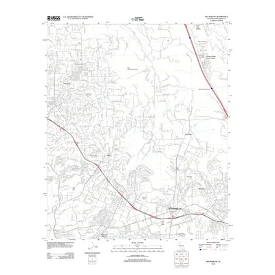
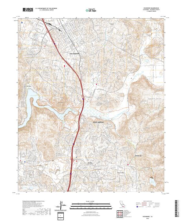 2022 Escondido2022 Print · USGSThe northern San Diego suburbs meet the inland valleys in this recent 2022 survey. Researchers can trace the modern boundaries of Rancho Bernardo and Del Dios, or locate specific landmarks like Lake Poway and the Westminster Seminary California.
 - 2022 Map of San Marcos, 2022 Print
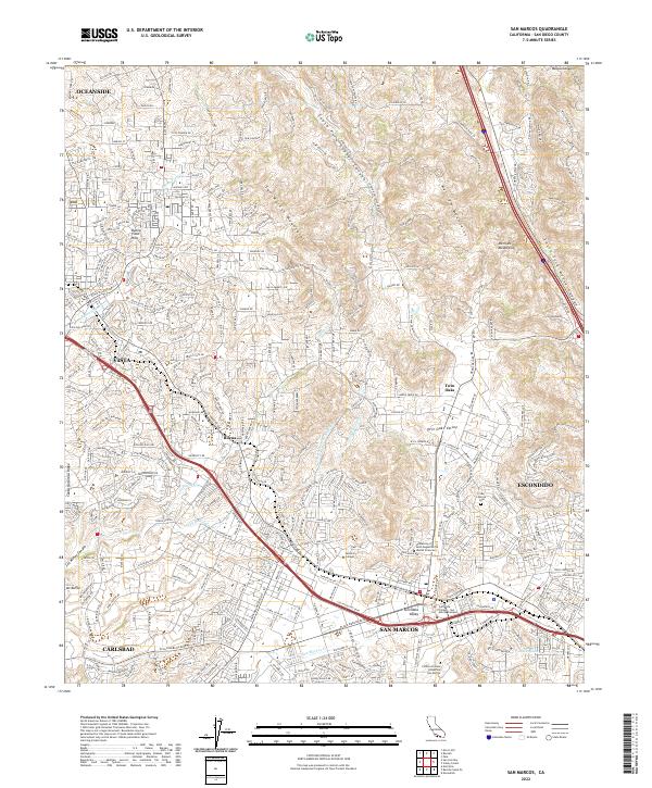 2022 San Marcos2022 Print · USGSIn the modern foothills of San Diego County, this survey traces the suburban and academic development of the North County region. Researchers can locate San Marcos Cem, follow the Sprinter rail route, and study the campus layouts of Palomar College and California State University San Marcos.
End of results
Showing maps 1-24 of 24
Top cities near Escondido
- San Diego historical maps
- Oceanside historical maps
- Carlsbad historical maps
- Vista historical maps
- San Marcos historical maps
- Encinitas historical maps
See more
Top neighborhoods of Escondido
- Downtown historical maps
- Los Arboles historical maps
- Mission Park historical maps
- Old Escondido historical maps
- Westside historical maps
Frequently asked questions
- What are the different types of historical maps available for Escondido?
- What is the oldest map of Escondido?
- Where can I purchase historical maps of Escondido for my home or office?
- Where can I download high-res historical maps of Escondido?
- Are there historical topographic maps available for Escondido?
- Is there historical aerial imagery available for Escondido?
- Where are historical maps of Escondido sourced from?