2000s (21st Century) Maps of Ripon, California
Explore 16 historic maps of Ripon from the 2000s (21st Century). These maps offer a rare glimpse into what life looked like during the 2000s — showing old roads, neighborhoods, homes, and landmarks that have changed or disappeared over time.
Whether you're researching your family's past, planning a metal detecting trip, or studying how Ripon's landscape evolved across the 2000s, these high-resolution maps are a powerful tool for exploring the history of this region.
- Focus on a specific era: All maps on this page are from the 2000s, giving you a focused view of this time period.
- See what’s changed: Compare century-old streets, trails, and buildings to today's modern landscape using overlays and satellite layers.
- Research with precision: Use these maps for genealogy, historical research, land use analysis, or educational projects.
- View, download, or print: Maps are fully viewable online in high resolution, and can be downloaded or printed for your own records.
Start exploring Ripon's history through authentic maps from the 2000s. This is your window into the past.
Ripon, CA maps
(16)- 2012 Map of Ripon, 2012 Print
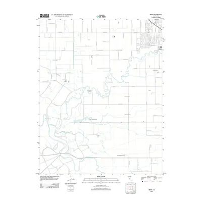 2012 Ripon2012 Print · USGSThe confluence of the Stanislaus and San Joaquin rivers in the early 2010s reveals a deeply agricultural landscape shaped by water and dairy ranching. Researchers can trace family-named lands like Mapes Ranch and Fiscalini Farms, or locate the Blue Heron Rookery along the river's winding bends.
 - 2012 Map of Avena, 2012 Print
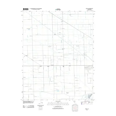 2012 Avena2012 Print · USGSAgricultural life in the San Joaquin Valley is preserved here during the early 21st century, showing the dense network of dairies and canals north of the Stanislaus River. Genealogists and local historians can trace named family holdings such as Vander Schaff Dairy and C And G Farms, or locate small rural hubs like Avena and Alba.
 - 2012 Map of Salida, 2012 Print
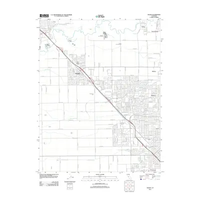 2012 Salida2012 Print · USGSThe northern edge of Modesto meets the Stanislaus River during a period of rapid suburban growth in the early twenty-first century. Researchers can trace the layout of growing neighborhoods like Salida and North McHenry alongside the Woodcolony Cem.
 - 2012 Map of Manteca, 2012 Print
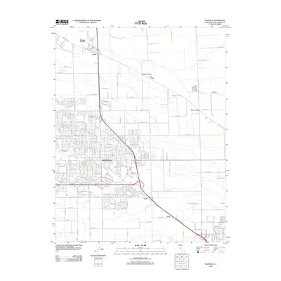 2012 Manteca2012 Print · USGSThe growing San Joaquin County hub of Manteca is captured here in the early twenty-first century as suburban neighborhoods meet agricultural land. Genealogists and local historians can trace the community through sites like Union Memorial Cem, Manteca Junction, and Summer Home.
 - 2015 Map of Avena, 2015 Print
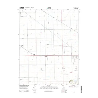 2015 Avena2015 Print · USGSThe northern San Joaquin Valley in 2015 shows a landscape of productive agriculture and small railway settlements. Researchers can trace historical property lines and crossroads at Atlanta, Simms, and Carrolton while exploring the developing fringes of Escalon.
 - 2015 Map of Manteca, 2015 Print
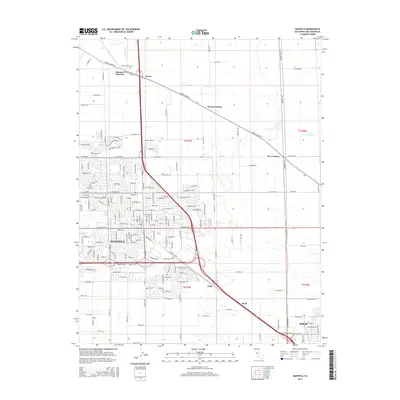 2015 Manteca2015 Print · USGSThe San Joaquin County agricultural and transit corridor is captured here during a period of sustained valley growth. Genealogists and local historians can trace the development of Manteca and Ripon, alongside smaller landmarks like Union Memorial Cemetery and Manteca Junction.
 - 2015 Map of Ripon, 2015 Print
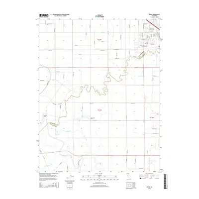 2015 Ripon2015 Print · USGSRipon and the fertile river lands of the Central Valley are captured here as the city expanded southward toward the Stanislaus River. Researchers can trace local water infrastructure and land use through labels like the Hetch Hetchy Aqueduct, Mapes Ranch, and Sturgeon Bend.
 - 2015 Map of Salida, 2015 Print
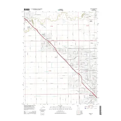 2015 Salida2015 Print · USGSThe northern edge of the Modesto metropolitan area meets the Stanislaus River in the mid-2010s. Researchers can trace the extensive irrigation network through Lateral Number One and Lateral Number Seven, or find local family roots at the Woodcolony Cemetery.
 - 2018 Map of Manteca, 2018 Print
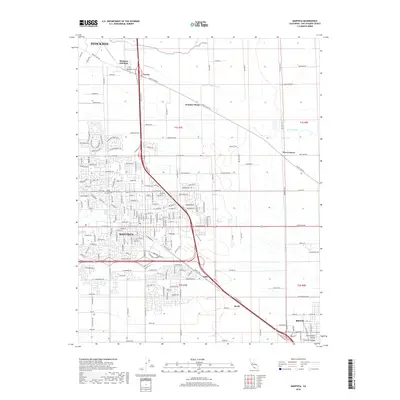 2018 Manteca2018 Print · USGSThe northern San Joaquin Valley comes into focus in the late 2010s, showing the intersection of historic agricultural roots and modern suburban growth. Researchers can trace the legacy of local settlements at Summer Home and Calla or locate family plots at Park View Cem.
 - 2018 Map of Ripon, 2018 Print
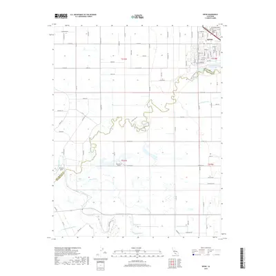 2018 Ripon2018 Print · USGSThe confluence of the Stanislaus River and the San Joaquin River reveals a modern landscape of irrigation and riverfront recreation. Genealogists and historians can trace the growth of Ripon and identify landmarks like Mapes Ranch Airport or the Hetch Hetchy Aqueduct.
 - 2018 Map of Salida, 2018 Print
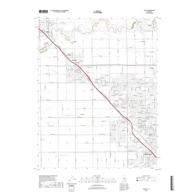 2018 Salida2018 Print · USGSStanislaus County at the peak of the 2010s shows a landscape of dense irrigation networks and suburban expansion near the Stanislaus River. Researchers can trace the layout of the Southern Pacific railroad and find local landmarks like Woodcolony Cem and Modesto Jr College West Campus.
 - 2018 Map of Avena, 2018 Print
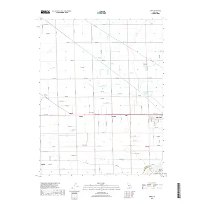 2018 Avena2018 Print · USGSSan Joaquin County agriculture is captured in the late 2010s as it stretches toward the Stanislaus River. Genealogists and local historians can trace rural property access via Dodds Rd and locate smaller settlements like Carrolton, Avena, and Van Allen.
 - 2021 Map of Avena, 2021 Print
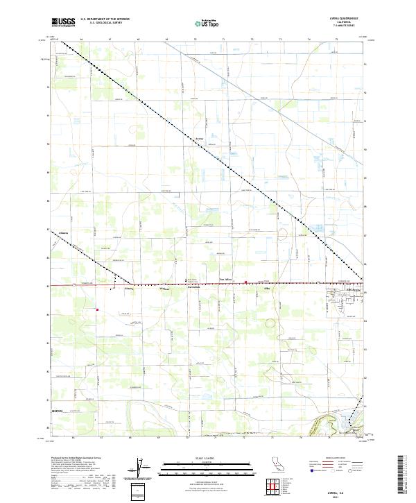 2021 Avena2021 Print · USGSAgricultural life in the San Joaquin Valley is meticulously mapped in this recent survey. Researchers can trace the grid of rural settlements like Van Allen, Avena, and Alba, or locate family sites near Saint John's Catholic Cem.
 - 2021 Map of Salida, 2021 Print
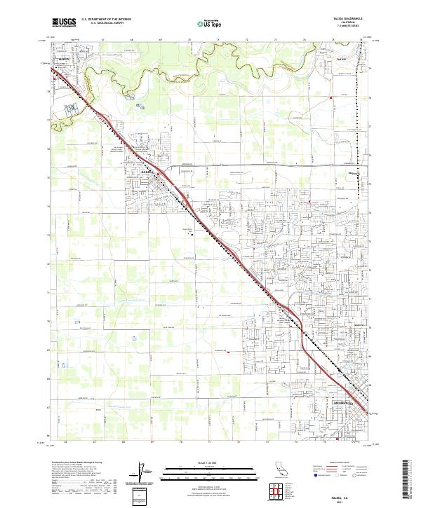 2021 Salida2021 Print · USGSNorthern Modesto and Salida are shown in detail during a period of significant growth at the start of the 2020s. Trace local landmarks like Woodcolony Cem, the Stanislaus River, and Modesto Junior College West Campus.
 - 2021 Map of Manteca, 2021 Print
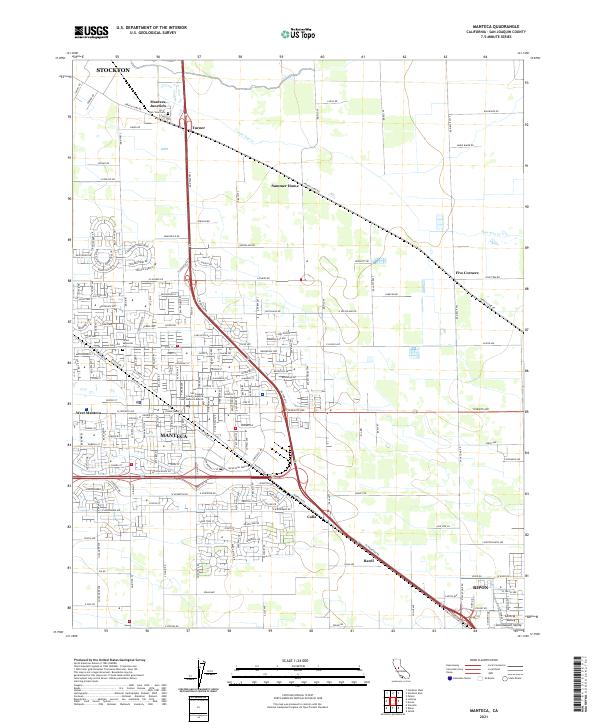 2021 Manteca2021 Print · USGSManteca and the surrounding San Joaquin Valley are documented here in detail during a period of significant regional growth. Researchers can trace the development of West Manteca and locate established landmarks such as Park View Cem and Summer Home.
 - 2021 Map of Ripon, 2021 Print
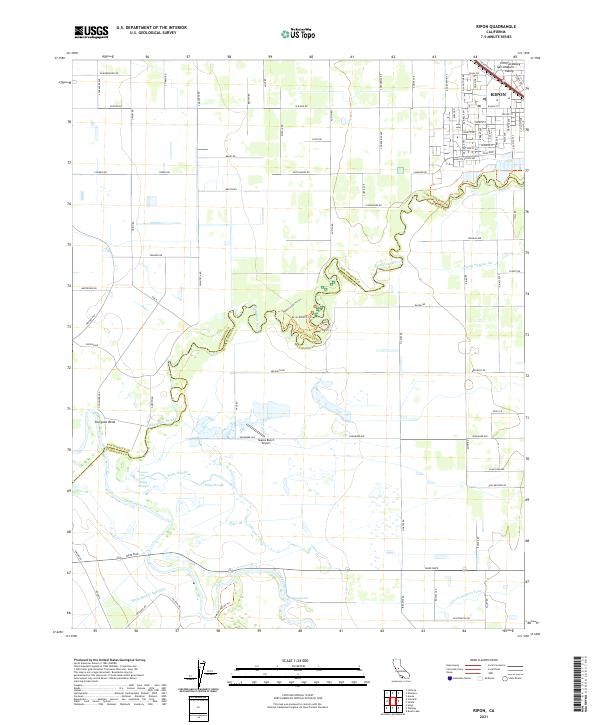 2021 Ripon2021 Print · USGSRipon and the fertile river lands of the northern San Joaquin Valley are shown in detail as they appeared in 2021. Researchers can trace the winding Stanislaus River past Sturgeon Bend, locate the Mapes Ranch Airport, and follow the critical path of the Hetch Hetchy Aqueduct.
End of results
Showing maps 1-16 of 16
Top cities near Ripon
- Stockton historical maps
- Modesto historical maps
- Manteca historical maps
- Turlock historical maps
- Ceres historical maps
- Riverbank historical maps
See more
Top neighborhoods of Ripon
Frequently asked questions
- What are the different types of historical maps available for Ripon?
- What is the oldest map of Ripon?
- Where can I purchase historical maps of Ripon for my home or office?
- Where can I download high-res historical maps of Ripon?
- Are there historical topographic maps available for Ripon?
- Is there historical aerial imagery available for Ripon?
- Where are historical maps of Ripon sourced from?