Old Maps of Downtown, San Luis Obispo for Genealogy
Trace your family roots with 17 historic maps of Downtown. These high-res maps reveal old neighborhoods, homesites, landmarks, and streets — helping you uncover where your ancestors lived and how the area evolved over time.
- Explore historic neighborhoods: Identify where your relatives may have lived in the 1800s or 1900s.
- Compare maps over time: Trace the changes in streets, buildings, and landmarks for multi-generational research.
- Perfect for genealogy & ancestry research: Used by family historians and researchers to map out lineage and migration.
These maps are an incredible resource for exploring your personal connection to Downtown's past.
Downtown, San Luis Obispo maps
(17)- 1897 Map of San Luis Obispo
 1897 San Luis Obispo1897 Print · USGSCoastal California in the late nineteenth century centers on the vital Southern Pacific Line as it carves through the Santa Lucia Range. Genealogists and historians can trace the early city grid of San Luis Obispo and rural stops like Goldtree and Cuesta.4 unique versions available
 - 1900 Map of San Luis
 1900 San Luis1900 Print · USGSCoastal California at the turn of the century shows a landscape where rail lines like the Pacific Coast Ry met the sea. Trace early industrial sites like the Asphalt Mines or follow the coast from Morro Rock to the pier at Port Harford.4 unique versions available
 - 1942 Map of San Luis Obispo
 1942 San Luis Obispo1942 Print · USGSSan Luis Obispo and the surrounding Santa Lucia Range are captured here just before the mid-century expansion, centered on the Southern Pacific rail line. Researchers can trace early campus boundaries at the California Polytechnic School and find rural landmarks like Stowe Sch and Eagle Ranch.2 unique versions available
 - 1947 Map of San Luis Obispo, 1948 Print
 1947 San Luis Obispo1948 Print · USGSCoastal California at the dawn of the Cold War reveals a landscape of massive military reservations and quiet seaside towns. Genealogists and researchers can trace the Southern Pacific rail line, old mining sites like Los Burros Mine, and local landmarks from Point Buchon to the Carrizo Plain.
 - 1948 Map of San Luis Obispo
 1948 San Luis Obispo1948 Print · USGSCentral Coast life in the late 1940s is centered on the Southern Pacific rail line and expanding military bases. Genealogists can trace early rural life through Union School and local operations like the Klau Mine or Buena Vista Mine.
 - 1952 Map of San Luis Obispo, 1954 Print
 1952 San Luis Obispo1954 Print · USGSSan Luis Obispo County in the early fifties shows a landscape of burgeoning colleges, military grounds, and historic mines. Trace the Southern Pacific rail line as it winds past Santa Margarita and the Pick and Shovel Mine.2 unique versions available
 - 1956 Map of San Luis Obispo, 1963 Print
 1956 San Luis Obispo1963 Print · USGSCentral California coastal and valley life unfolds in the mid-fifties, from the shoreline of Pismo Beach to the arid Carrizo Plain. Trace early travel routes along the Southern Pacific RR or locate family sites near the Templeton Cemetery and Paso Robles County Cemetery.5 unique versions available
 - 1957 Map of San Luis Obispo
 1957 San Luis Obispo1957 Print · USGSCoastal California in the late fifties is defined by the steep Santa Lucia Range and the rail-connected hub of San Luis Obispo. Genealogists and researchers can trace rural life via Union School, the Southern Pacific line, and old sites like the Polar Star Mine.
 - 1958 Map of San Luis Obispo
 1958 San Luis Obispo1958 Print · USGSThe Central Coast in the late fifties reveals a landscape of ranching and early tourism before the massive expansion of the modern era. Trace the path of the Southern Pacific through Atascadero or locate family roots in coastal towns like Cayucos and Cambria.
 - 1965 Map of San Luis Obispo, 1967 Print
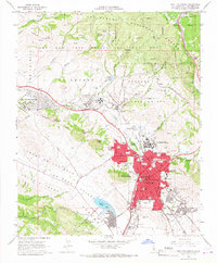 1965 San Luis Obispo1967 Print · USGSSan Luis Obispo and its surrounding hills are captured here in the mid-1960s, showing a growing college town and its vital rail and military links. Researchers can trace historic landmarks like the Old Mission, the rugged path to Cuesta Pass, and the sprawl of Cal Poly.5 unique versions available
 - 1976 Map of San Luis Obispo, 1980 Print
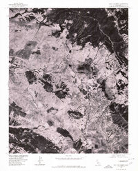 1976 San Luis Obispo1980 Print · USGSThe city of San Luis Obispo and its surrounding hills appear in striking photographic detail in the mid-1970s. Researchers can trace the exact footprint of the city and the military facilities at Camp San Luis Obispo and Bishop.
 - 1981 Map of San Luis Obispo
 1981 San Luis Obispo1981 Print · USGSThe Central Coast comes alive in the early eighties as the Southern Pacific railroad connects growing coastal towns and rugged inland ranges. Researchers can trace land grants like Santa Manuela, locate Cem sites, and explore the footprint of California Polytechnic State University.3 unique versions available
 - 1995 Map of San Luis Obispo, 2000 Print
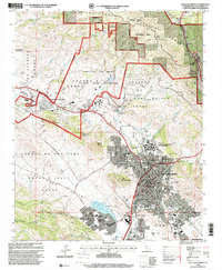 1995 San Luis Obispo2000 Print · USGSSan Luis Obispo and its surrounding volcanic peaks are captured in the mid-1990s as the city and university expand. Researchers can trace the legacy of the Southern Pacific RR through Cuesta Pass or locate ancestral sites like the Catholic Cem and Old Mission San Luis Obispo de Tolosa.
 - 2012 Map of San Luis Obispo, 2012 Print
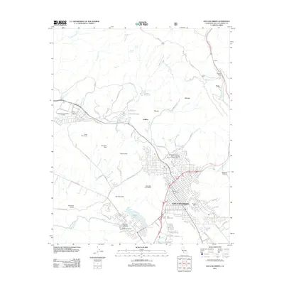 2012 San Luis Obispo2012 Print · USGSSan Luis Obispo and the surrounding Morros peaks are shown here in the early twenty-first century. Family historians and researchers can locate Old Mission Cem, trace the Southern Pacific Railroad toward Cuesta Pass, or study the sprawl of Cal Poly.
 - 2015 Map of San Luis Obispo, 2015 Print
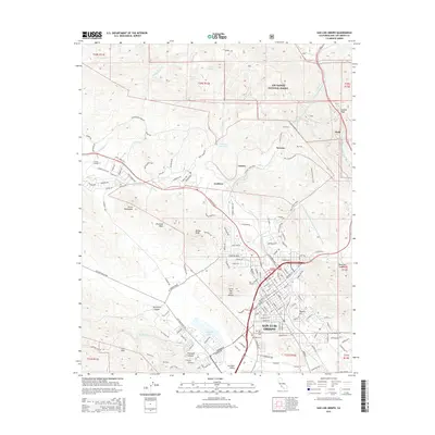 2015 San Luis Obispo2015 Print · USGSSan Luis Obispo and its surrounding volcanic peaks are captured here in the mid-2010s, showing the city's relationship with its dramatic coastal terrain. Genealogists and hikers can locate Old Mission Cem or trace the ridges of Bishop Peak and Cerro San Luis Obispo.
 - 2018 Map of San Luis Obispo, 2018 Print
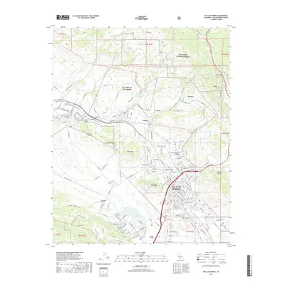 2018 San Luis Obispo2018 Print · USGSSan Luis Obispo and its iconic volcanic peaks are documented here during the late twenty-teens. Researchers can trace the boundaries of California Polytechnic State Univ - San Luis Obispo or locate family sites at the Old Mission Cem and Sutcliffe Cem.
 - 2021 Map of San Luis Obispo, 2021 Print
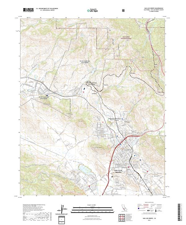 2021 San Luis Obispo2021 Print · USGSSan Luis Obispo and the surrounding volcanic peaks are documented here in the early twenty-first century. Researchers can trace the Southern Pacific RR through Cuesta Pass or locate local landmarks like the Mission Cem and Sutcliffe Cem.
End of results
Showing maps 1-17 of 17
Frequently asked questions
- What are the different types of historical maps available for Downtown?
- What is the oldest map of Downtown?
- Where can I purchase historical maps of Downtown for my home or office?
- Where can I download high-res historical maps of Downtown?
- Are there historical topographic maps available for Downtown?
- Is there historical aerial imagery available for Downtown?
- Where are historical maps of Downtown sourced from?