2000s (21st Century) Maps of San Mateo County, California
Explore 80 historic maps of San Mateo County from the 2000s (21st Century). These maps offer a rare glimpse into what life looked like during the 2000s — showing old roads, neighborhoods, homes, and landmarks that have changed or disappeared over time.
Whether you're researching your family's past, planning a metal detecting trip, or studying how San Mateo County's landscape evolved across the 2000s, these high-resolution maps are a powerful tool for exploring the history of this region.
- Focus on a specific era: All maps on this page are from the 2000s, giving you a focused view of this time period.
- See what’s changed: Compare century-old streets, trails, and buildings to today's modern landscape using overlays and satellite layers.
- Research with precision: Use these maps for genealogy, historical research, land use analysis, or educational projects.
- View, download, or print: Maps are fully viewable online in high resolution, and can be downloaded or printed for your own records.
Start exploring San Mateo County's history through authentic maps from the 2000s. This is your window into the past.
San Mateo County, CA maps
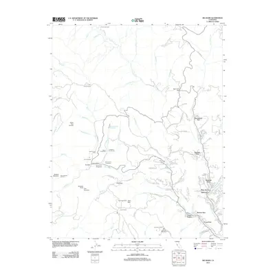
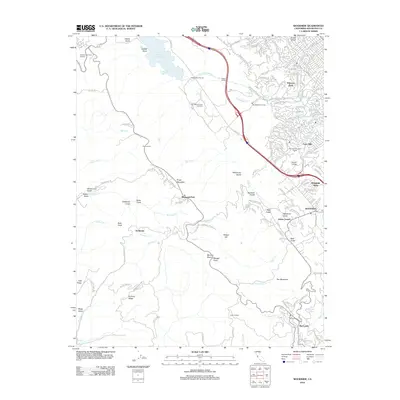
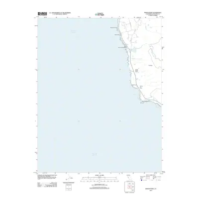
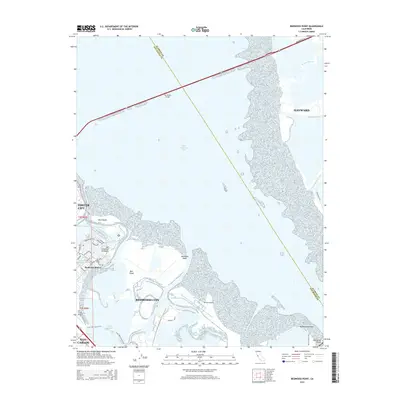
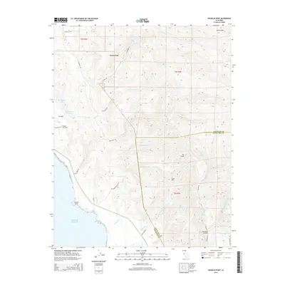
(80)- 2012 Map of Franklin Point, 2012 Print
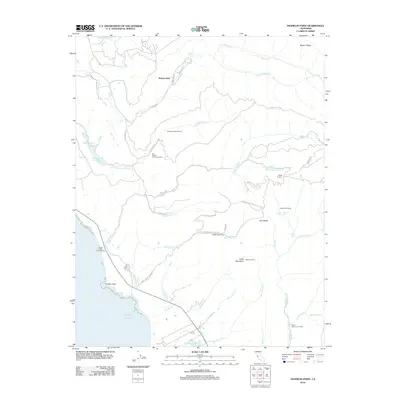 2012 Franklin Point2012 Print · USGSCovers San Mateo County, including Butano Park, Whitehouse Canyon, and other nearby areas
 - 2012 Map of Hunters Point, 2012 Print
 2012 Hunters Point2012 Print · USGSCovers San Mateo County, including San Francisco, Oakland, and other nearby areas
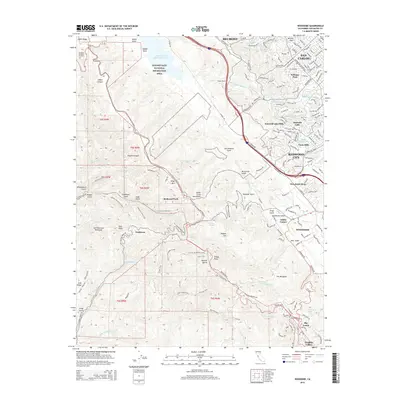
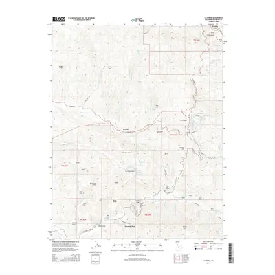
 - 2012 Map of La Honda, 2012 Print
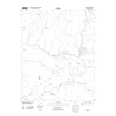 2012 La Honda2012 Print · USGSCovers San Mateo County, including Woodside, Portola Valley, and other nearby areas
 - 2012 Map of Mindego Hill, 2012 Print
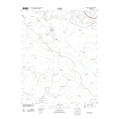 2012 Mindego Hill2012 Print · USGSCovers San Mateo County, including Palo Alto, Los Altos Hills, and other nearby areas
 - 2012 Map of Big Basin, 2012 Print
 2012 Big Basin2012 Print · USGSCovers San Mateo County, including Wildwood, Big Basin, and other nearby areas
 - 2012 Map of San Gregorio, 2012 Print
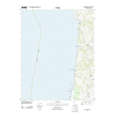 2012 San Gregorio2012 Print · USGSCovers San Mateo County, including Pescadero, San Gregorio, and other nearby areas
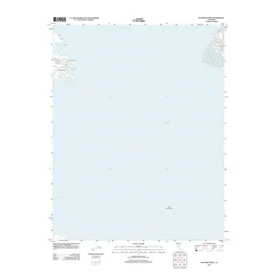
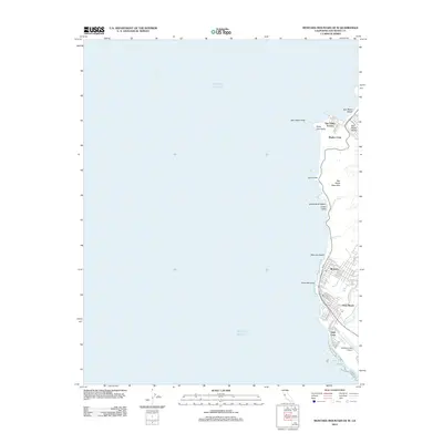
 - 2012 Map of Point Ano Nuevo, 2012 Print
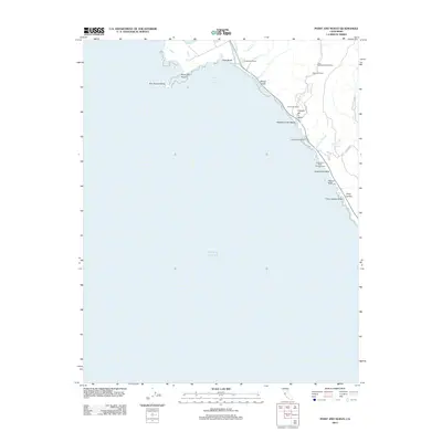 2012 Point Ano Nuevo2012 Print · USGSCovers San Mateo County, including Santa Cruz, United States, and other nearby areas
 - 2012 Map of San Mateo, 2012 Print
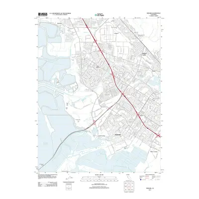
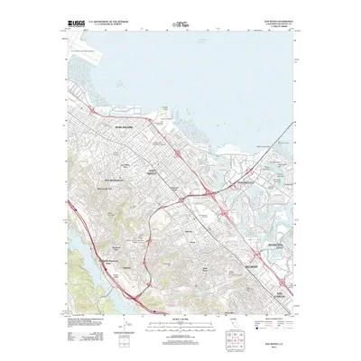 2012 San Mateo2012 Print · USGSCovers San Mateo County, including San Mateo, Redwood City, and other nearby areas
 - 2012 Map of San Francisco South OE W, 2012 Print
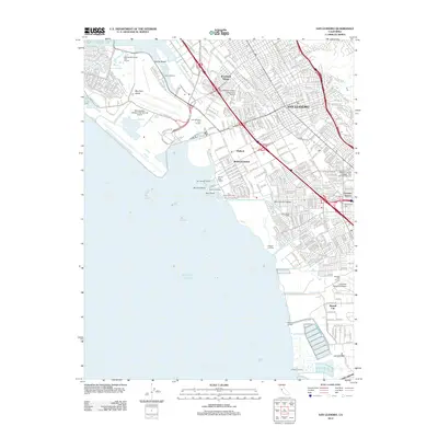
 2012 San Francisco South OE W2012 Print · USGSCovers San Mateo County, including San Francisco, Daly City, and other nearby areas
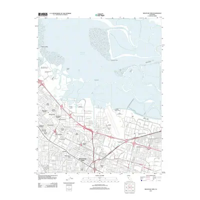
 - 2012 Map of Redwood Point, 2012 Print
 2012 Redwood Point2012 Print · USGSCovers San Mateo County, including Fremont, Hayward, and other nearby areas
 - 2012 Map of Palo Alto, 2012 Print
 2012 Palo Alto2012 Print · USGSCovers San Mateo County, including Redwood City, Palo Alto, and other nearby areas
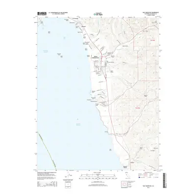
 - 2012 Map of Half Moon Bay, 2012 Print
 2012 Half Moon Bay2012 Print · USGSCovers San Mateo County, including Half Moon Bay, Lobitos, and other nearby areas
 - 2012 Map of Woodside, 2012 Print
 2012 Woodside2012 Print · USGSCovers San Mateo County, including Redwood City, San Carlos, and other nearby areas
 - 2012 Map of Montara Mountain OE W, 2012 Print
 2012 Montara Mountain OE W2012 Print · USGSCovers San Mateo County, including Pacifica, Moss Beach, and other nearby areas
 - 2012 Map of Mountain View, 2012 Print
 2012 Mountain View2012 Print · USGSCovers San Mateo County, including San Jose, Fremont, and other nearby areas
 - 2012 Map of San Francisco South, 2012 Print
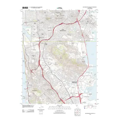 2012 San Francisco South2012 Print · USGSCovers San Mateo County, including San Francisco, Daly City, and other nearby areas
 - 2012 Map of Pigeon Point, 2012 Print
 2012 Pigeon Point2012 Print · USGSCovers San Mateo County, including United States, California, and other nearby areas
 - 2012 Map of Newark, 2012 Print
 2012 Newark2012 Print · USGSCovers San Mateo County, including Fremont, Hayward, and other nearby areas
 - 2012 Map of San Leandro, 2012 Print
 2012 San Leandro2012 Print · USGSCovers San Mateo County, including Oakland, Hayward, and other nearby areas
 - 2012 Map of Montara Mountain, 2012 Print
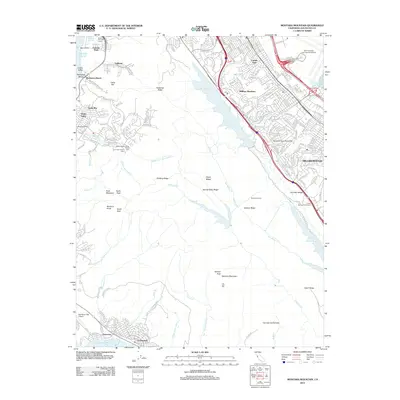 2012 Montara Mountain2012 Print · USGSCovers San Mateo County, including San Bruno, Pacifica, and other nearby areas
 - 2015 Map of Redwood Point, 2015 Print
 2015 Redwood Point2015 Print · USGSCovers San Mateo County, including Fremont, Hayward, and other nearby areas
 - 2015 Map of Woodside, 2015 Print
 2015 Woodside2015 Print · USGSCovers San Mateo County, including Redwood City, San Carlos, and other nearby areas
 - 2015 Map of Franklin Point, 2015 Print
 2015 Franklin Point2015 Print · USGSCovers San Mateo County, including Butano Park, Whitehouse Canyon, and other nearby areas
 - 2015 Map of Half Moon Bay, 2015 Print
 2015 Half Moon Bay2015 Print · USGSCovers San Mateo County, including Half Moon Bay, Lobitos, and other nearby areas
 - 2015 Map of La Honda, 2015 Print
 2015 La Honda2015 Print · USGSCovers San Mateo County, including Woodside, Portola Valley, and other nearby areas
Showing maps 1-25 of 80
Top cities of San Mateo County
- San Mateo historical maps
- Daly City historical maps
- Redwood City historical maps
- South San Francisco historical maps
- San Bruno historical maps
- Pacifica historical maps
See more
Frequently asked questions
- What are the different types of historical maps available for San Mateo County?
- What is the oldest map of San Mateo County?
- Where can I purchase historical maps of San Mateo County for my home or office?
- Where can I download high-res historical maps of San Mateo County?
- Are there historical topographic maps available for San Mateo County?
- Is there historical aerial imagery available for San Mateo County?
- Where are historical maps of San Mateo County sourced from?