Old Maps of Buellton, California for Academic Research
Study the evolution of Buellton with 24 high-resolution historic maps. Whether you're teaching, researching, or modeling changes in land use, these maps provide essential visual documentation of urban, environmental, and geographic change.
- Analyze long-term change: Track patterns in development, transportation, and natural features.
- Ideal for environmental or urban studies: Support academic projects with primary historical map data.
- Use in the classroom or lab: Educators and researchers rely on these maps to bring historical context to life.
These maps are a powerful tool for teaching, research, and visualizing how Buellton has changed over the decades.
Buellton, CA maps
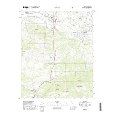
(24)- 1905 Map of Lompoc
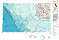
 1905 Lompoc1905 Print · USGSSanta Barbara County at the turn of the century reveals a landscape of historic ranchos and early industry before the rise of modern development. Researchers can trace the early Pacific Coast RR and locate heritage sites like Santa Ynez Mission and the Union Oil Wells.7 unique versions available
 - 1942 Map of Lompoc
 1942 Lompoc1942 Print · USGSSanta Barbara County at the start of World War II reveals a landscape of missions, ranching, and coastal rail. Researchers can trace the Pacific Coast Railroad, locate historic schools like Sisquoc Sch, and find the remote Asphaltum Mine.
 - 1942 Map of Los Olivos, 1958 Print
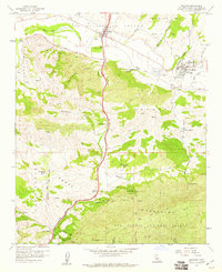
 1942 Los Olivos1958 Print · USGSSanta Barbara County’s inland ranching country is captured during the early 1940s as the Santa Ynez Valley flourished with historic estates and mission-era heritage. Genealogists and historians can trace family properties like Barnum Ranch or San Lucas Ranch and locate early landmarks such as the Santa Ynez Mission and Midland Sch.
 - 1943 Map of Los Olivos
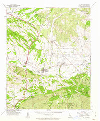
 1943 Los Olivos1943 Print · USGSThe Santa Ynez Valley in the early 1940s is captured here as a landscape of historic ranchos and developing townships. Researchers can trace the layout of Solvang, find the Santa Ynez Mission, and locate rural landmarks like Midland Sch and Alisal Ranch.
 - 1943 Map of Lompoc
 1943 Lompoc1943 Print · USGSCoastal Santa Barbara County appears in the early 1940s as a land of historic missions, early oil and asphalt mining, and rugged mountain ranges. Researchers can trace the PACIFIC COAST RAILROAD, locate schools like Tepusquet Sch, and explore the grounds of Mission La Purisima.
 - 1948 Map of Santa Maria
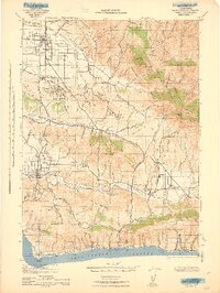
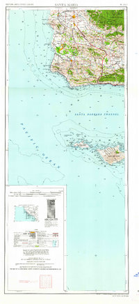
 1948 Santa Maria1948 Print · USGSSanta Barbara County in the late 1940s reveals a landscape of coastal defense and valley agriculture. Genealogists and historians can trace the footprint of Camp Cooke Military Reservation or locate rural landmarks like Honda School and Betteravia.2 unique versions available
 - 1956 Map of Santa Maria, 1973 Print
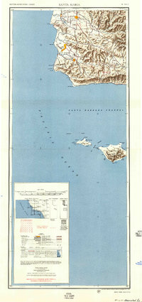
 1956 Santa Maria1973 Print · USGSThe Central Coast landscape at the height of the Cold War reveals a mix of aerospace expansion and historic ranching towns. Trace the early footprint of Vandenberg AFB or locate coastal rail stops like Surf and the mission site at La Purisima Mission State Park.2 unique versions available
 - 1957 Map of Santa Maria
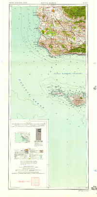
 1957 Santa Maria1957 Print · USGSCoastal Santa Barbara County is captured here during the mid-fifties, showing a landscape defined by military installations and petroleum production. Researchers can trace the Southern Pacific rail line and locate rural landmarks like Honda School, Betteravia, and the John Manville Plant.
 - 1958 Map of Santa Maria
 1958 Santa Maria1958 Print · USGSThe Central Coast in the mid-fifties reveals a landscape shaped by military expansion and historic ranching towns. Researchers can trace the Southern Pacific railroad through Betteravia and Guadalupe, or explore the early layout of Camp Cooke Military Reservation.
 - 1959 Map of Zaca Creek, 1960 Print
 1959 Zaca Creek1960 Print · USGSSanta Barbara County ranch lands and petroleum interests are captured in the late fifties as the regional landscape modernized. Genealogists and researchers can trace historic land grants and family holdings such as Barham Ranch, Rancho Santa Ynez, and the active Zaca Oil Field.3 unique versions available
 - 1959 Map of Solvang, 1960 Print
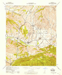
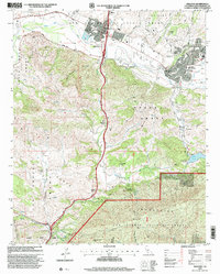
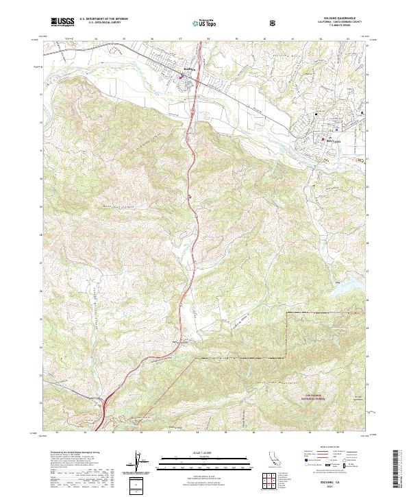
 1959 Solvang1960 Print · USGSThe Santa Ynez Valley is captured here in the late fifties, showcasing the early growth of Solvang alongside historic ranching estates. Researchers can trace the original footprint of Mission Santa Ines and the winding course of U.S. Route 101 as it climbs toward Nojoqui Summit.4 unique versions available
 - 1959 Map of Los Olivos, 1962 Print
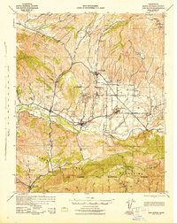
 1959 Los Olivos1962 Print · USGSSanta Barbara County’s ranching heartland is captured here in the late fifties, showing the historic missions and land grants of the Santa Ynez Valley. Researchers can trace the layout of early Solvang and Los Olivos or locate family landmarks like Las Cruces Ranch and the Mission Santa Ines Ruins.
 - 1962 Map of Santa Maria
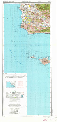
 1962 Santa Maria1962 Print · USGSCoastal Santa Barbara County and its offshore islands are shown here during the early years of the Space Age. Researchers can trace the rail corridor of the Southern Pacific or locate local landmarks like Los Coches Mine and Solvang.
 - 1982 Map of Santa Maria, 1983 Print
 1982 Santa Maria1983 Print · USGSSanta Barbara County in the early eighties shows the expansion of the Central Coast, from the military grounds of the shoreline to the inland valleys. You can trace the Southern Pacific rail lines and locate landmarks like Betteravia, Los Alamos, and the La Purisima Mission State Historical Mon.2 unique versions available
 - 1989 Map of Santa Maria, 1991 Print
 1989 Santa Maria1991 Print · USGSThe Central Coast in the late eighties reveals a landscape of massive coastal installations and deep-rooted agricultural valleys. Genealogists and researchers can trace the Southern Pacific line through Guadalupe or locate landmarks like Betteravia and the La Purisima Mission State Historical Monument.
 - 1995 Map of Solvang, 2000 Print
 1995 Solvang2000 Print · USGSThe Santa Ynez Valley in the mid-nineties shows a unique transition from historic Spanish land grants to modern community life. Researchers can trace family-named estates and landmarks like Alisal Ranch, the historic Mission Santa Ines, and the junction at Las Cruces.
 - 2012 Map of Zaca Creek, 2012 Print
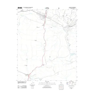
 2012 Zaca Creek2012 Print · USGSCovers Buellton, including Barham Ranch, Rancho Santa Ynez, and other nearby areas
 - 2012 Map of Solvang, 2012 Print
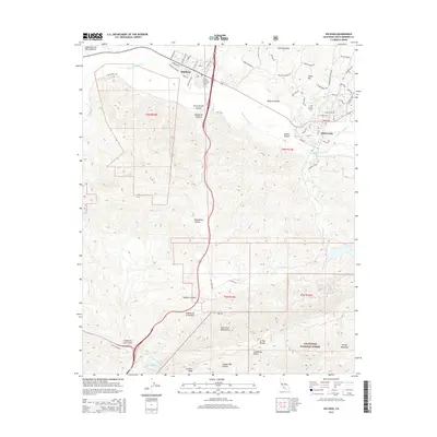
 2012 Solvang2012 Print · USGSCovers Buellton, including Solvang, Las Cruces, and other nearby areas
 - 2015 Map of Solvang, 2015 Print
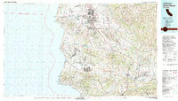
 2015 Solvang2015 Print · USGSCovers Buellton, including Solvang, Las Cruces, and other nearby areas
 - 2015 Map of Zaca Creek, 2015 Print
 2015 Zaca Creek2015 Print · USGSCovers Buellton, including Barham Ranch, Rancho Santa Ynez, and other nearby areas
 - 2018 Map of Solvang, 2018 Print
 2018 Solvang2018 Print · USGSCovers Buellton, including Solvang, Las Cruces, and other nearby areas
 - 2018 Map of Zaca Creek, 2018 Print
 2018 Zaca Creek2018 Print · USGSCovers Buellton, including Barham Ranch, Rancho Santa Ynez, and other nearby areas
 - 2021 Map of Solvang, 2021 Print
 2021 Solvang2021 Print · USGSThe Santa Ynez Valley and the southern coast ranges come into focus during this modern era of Santa Barbara County geography. Researchers can trace the development of Solvang and Buellton or locate specific landmarks like Nojoqui Falls and Gaviota Peak.
 - 2021 Map of Zaca Creek, 2021 Print
 2021 Zaca Creek2021 Print · USGSSanta Barbara County in the early 2020s shows a landscape of deep canyons and rising hills north of Buellton. Genealogists and local historians can trace the paths of Zaca Cr and Ballard Canyon alongside modern recreational routes like Magic Mike's Trl.
End of results
Showing maps 1-24 of 24
Top cities near Buellton
Frequently asked questions
- What are the different types of historical maps available for Buellton?
- What is the oldest map of Buellton?
- Where can I purchase historical maps of Buellton for my home or office?
- Where can I download high-res historical maps of Buellton?
- Are there historical topographic maps available for Buellton?
- Is there historical aerial imagery available for Buellton?
- Where are historical maps of Buellton sourced from?