2000s (21st Century) Maps of Carpinteria, California
Explore 12 historic maps of Carpinteria from the 2000s (21st Century). These maps offer a rare glimpse into what life looked like during the 2000s — showing old roads, neighborhoods, homes, and landmarks that have changed or disappeared over time.
Whether you're researching your family's past, planning a metal detecting trip, or studying how Carpinteria's landscape evolved across the 2000s, these high-resolution maps are a powerful tool for exploring the history of this region.
- Focus on a specific era: All maps on this page are from the 2000s, giving you a focused view of this time period.
- See what’s changed: Compare century-old streets, trails, and buildings to today's modern landscape using overlays and satellite layers.
- Research with precision: Use these maps for genealogy, historical research, land use analysis, or educational projects.
- View, download, or print: Maps are fully viewable online in high resolution, and can be downloaded or printed for your own records.
Start exploring Carpinteria's history through authentic maps from the 2000s. This is your window into the past.
Carpinteria, CA maps
(12)- 2012 Map of Pitas Point, 2012 Print
 2012 Pitas Point2012 Print · USGSCovers Carpinteria, including Faria Beach, Sea Cliff, and other nearby areas
 - 2012 Map of White Ledge Peak, 2012 Print
 2012 White Ledge Peak2012 Print · USGSCovers Carpinteria, including Shepards, Ventura County, and other nearby areas
 - 2012 Map of Carpinteria, 2012 Print
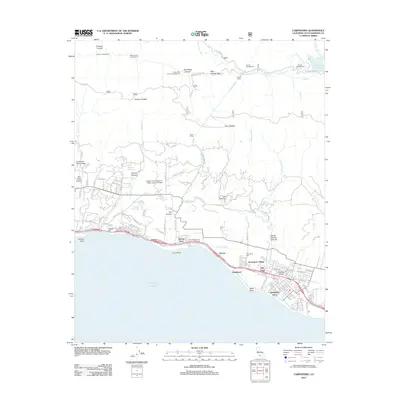 2012 Carpinteria2012 Print · USGSCovers Carpinteria, including Montecito, Toro Canyon, and other nearby areas
 - 2015 Map of Carpinteria, 2015 Print
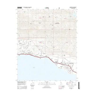 2015 Carpinteria2015 Print · USGSCovers Carpinteria, including Montecito, Toro Canyon, and other nearby areas
 - 2015 Map of Pitas Point, 2015 Print
 2015 Pitas Point2015 Print · USGSCovers Carpinteria, including Faria Beach, Sea Cliff, and other nearby areas
 - 2015 Map of White Ledge Peak, 2015 Print
 2015 White Ledge Peak2015 Print · USGSCovers Carpinteria, including Shepards, Ventura County, and other nearby areas
 - 2018 Map of Pitas Point, 2018 Print
 2018 Pitas Point2018 Print · USGSCovers Carpinteria, including Faria Beach, Sea Cliff, and other nearby areas
 - 2018 Map of White Ledge Peak, 2018 Print
 2018 White Ledge Peak2018 Print · USGSCovers Carpinteria, including Shepards, Ventura County, and other nearby areas
 - 2018 Map of Carpinteria, 2018 Print
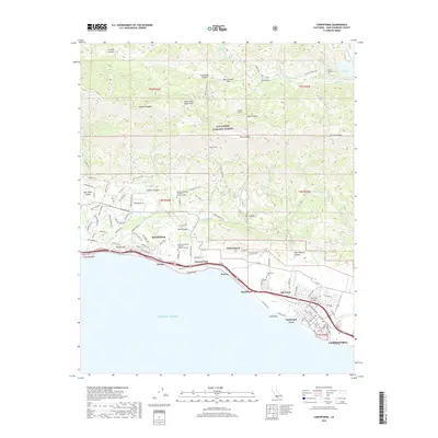 2018 Carpinteria2018 Print · USGSCovers Carpinteria, including Montecito, Toro Canyon, and other nearby areas
 - 2021 Map of Carpinteria, 2021 Print
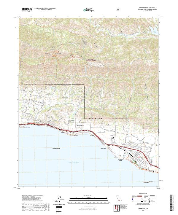 2021 Carpinteria2021 Print · USGSThe Santa Barbara coastline comes into focus during this period of modern coastal development and mountain preservation. Researchers can trace the Union Pacific rail line through Summerland and Serena or locate the Carpinteria Cem and Sandyland Cove.
 - 2022 Map of White Ledge Peak, 2022 Print
 2022 White Ledge Peak2022 Print · USGSThe Ventura County coast meets the steep Santa Ynez range in the early twenty-twenties, showing a landscape of coastal agriculture and protected forest. Researchers can trace land use from the shoreline of Carpinteria to mountain landmarks like White Ledge Peak and Murietta Dam.
 - 2022 Map of Pitas Point, 2022 Print
 2022 Pitas Point2022 Print · USGSThe Ventura coast is captured here in the early 2020s, where the mountains meet the sea at the historic county line. Researchers can trace the narrow coastal settlements of La Conchita and Sea Cliff or locate landmark features like Rincon Island and Pitas Point.
End of results
Showing maps 1-12 of 12
Top cities near Carpinteria
- Oxnard historical maps
- Ventura historical maps
- Santa Barbara historical maps
- Montecito historical maps
- Mission Canyon historical maps
- Toro Canyon historical maps
See more
Top neighborhoods of Carpinteria
Frequently asked questions
- What are the different types of historical maps available for Carpinteria?
- What is the oldest map of Carpinteria?
- Where can I purchase historical maps of Carpinteria for my home or office?
- Where can I download high-res historical maps of Carpinteria?
- Are there historical topographic maps available for Carpinteria?
- Is there historical aerial imagery available for Carpinteria?
- Where are historical maps of Carpinteria sourced from?