Old Maps of Lonoke, Gilroy for Genealogy
Trace your family roots with 14 historic maps of Lonoke. These high-res maps reveal old neighborhoods, homesites, landmarks, and streets — helping you uncover where your ancestors lived and how the area evolved over time.
- Explore historic neighborhoods: Identify where your relatives may have lived in the 1800s or 1900s.
- Compare maps over time: Trace the changes in streets, buildings, and landmarks for multi-generational research.
- Perfect for genealogy & ancestry research: Used by family historians and researchers to map out lineage and migration.
These maps are an incredible resource for exploring your personal connection to Lonoke's past.
Lonoke, Gilroy maps
(14)- 1917 Map of Morgan Hill
 1917 Morgan Hill1917 Print · USGSSanta Clara County during the early twentieth century is captured here as a valley of orchards and growing rail towns. Genealogists can locate specific family sites like Bradleys Store or trace rural attendance at Machado School and Uvas School.5 unique versions available
 - 1939 Map of Morgan Hill, 1957 Print
 1939 Morgan Hill1957 Print · USGSSanta Clara County at the end of the 1930s shows a valley of orchards and ranchlands along the Southern Pacific line. Researchers can trace early school districts at Burnett School and Llagas School, or find vanished community hubs like Bradley Store and the original Old Gilroy.2 unique versions available
 - 1941 Map of Morgan Hill
 1941 Morgan Hill1941 Print · USGSThe Santa Clara Valley corridor comes alive in the early 1940s, showing a landscape of ranchos and rail-side towns. Trace family roots at Redwood School or find old landmarks like Bradley's Store and Madrone Soda Springs.
 - 1947 Map of San Jose, 1948 Print
 1947 San Jose1948 Print · USGSNorthern California's heartland is captured here just after the war, showing the rapid growth of the Santa Clara and Central Valleys. Researchers can trace the legacy of rail and water at Castle Air Force Base, Stockton, and the Hetch Hetchy Aqueduct.
 - 1955 Map of Gilroy, 1956 Print
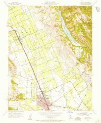 1955 Gilroy1956 Print · USGSThe Santa Clara Valley’s orchard and rail corridor are captured here during the mid-fifties, centered on the city of Gilroy. Genealogists and historians can trace early schools like Glen View Sch and San Ysidro Sch, alongside the tracks of the Southern Pacific.7 unique versions available
 - 1956 Map of San Jose
 1956 San Jose1956 Print · USGSCentral California in the mid-fifties reveals the transition from sprawling orchards to growing urban hubs like San Jose and Stockton. Genealogists and historians can trace the rail-era landscape of the Mother Lode through Chinese Camp and Tuttletown, or follow the water through the Joaquin River and Calaveras Reservoir.
 - 1962 Map of San Jose
 1962 San Jose1962 Print · USGSCentral California in the early sixties showcases the expansion of the San Joaquin and Santa Clara valleys. Researchers can trace the rail-to-road transition along the Southern Pacific RR or locate landmarks like Castle USAF Base and Loma Prieta.4 unique versions available
 - 1966 Map of San Jose
 1966 San Jose1966 Print · USGSCentral California in the mid-1960s reveals a landscape of massive irrigation projects and expanding Cold War military footprints. Researchers can trace the rail-and-river network of the San Joaquin Valley or locate specialized sites like Castle Air Force Base and the Sharp General Depot (Military).
 - 1973 Map of Gilroy, 1979 Print
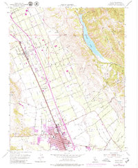 1973 Gilroy1979 Print · USGSThe Santa Clara Valley transitions from agrarian roots to suburban growth in the early seventies. Genealogists can locate family names and sites like Sun Martin, St Marys Sch, and the Southern Pacific rail line.
 - 1978 Map of San Jose
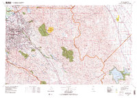 1978 San Jose1978 Print · USGSSanta Clara County and the East Bay hills are captured in the late seventies, showing the suburban sprawl of San Jose alongside the rural Central Valley. Trace the paths of the Southern Pacific railroad and find landmarks like New Almaden and Lick Observatory.
 - 2012 Map of Gilroy, 2012 Print
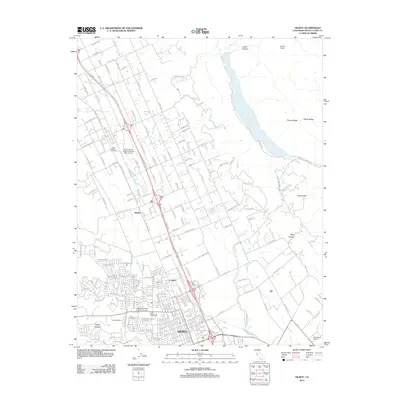 2012 Gilroy2012 Print · USGSGilroy and the surrounding Santa Clara Valley are captured here just after the turn of the millennium, showcasing a landscape of vineyards and suburban growth. Researchers can trace local history through the Independent Order of Oddfellows Cemetery and legacy sites like the Paul Masson Winery.
 - 2015 Map of Gilroy, 2015 Print
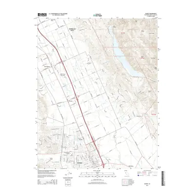 2015 Gilroy2015 Print · USGSSanta Clara County’s southern valley is captured here in a period of modern agricultural and suburban identity. Researchers can trace family history at the Independent Order of Oddfellows Cemetery or explore the shifting centers of Gilroy and Old Gilroy.
 - 2018 Map of Gilroy, 2018 Print
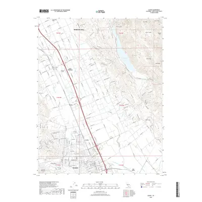 2018 Gilroy2018 Print · USGSThe Santa Clara Valley corridor is captured here in the late twenty-tens, showing the residential and agricultural expansion between the Diablo Range and the Santa Cruz Mountains. Researchers can trace family history at the Independent Order of Oddfellows Cemetery or locate the historic site of Old Gilroy.
 - 2021 Map of Gilroy, 2021 Print
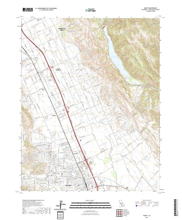 2021 Gilroy2021 Print · USGSThe Santa Clara Valley is captured here in the early twenty-first century, showing the established corridors between Gilroy and Morgan Hill. Researchers can trace local history through the Union Pacific line and sites like Old Gilroy or Saint Marys Cem.
End of results
Showing maps 1-14 of 14
Top cities near Lonoke
- San Jose historical maps
- Gilroy historical maps
- Watsonville historical maps
- Morgan Hill historical maps
- Hollister historical maps
- Prunedale historical maps
See more
Frequently asked questions
- What are the different types of historical maps available for Lonoke?
- What is the oldest map of Lonoke?
- Where can I purchase historical maps of Lonoke for my home or office?
- Where can I download high-res historical maps of Lonoke?
- Are there historical topographic maps available for Lonoke?
- Is there historical aerial imagery available for Lonoke?
- Where are historical maps of Lonoke sourced from?