2000s (21st Century) Maps of San Jose, California
Explore 52 historic maps of San Jose from the 2000s (21st Century). These maps offer a rare glimpse into what life looked like during the 2000s — showing old roads, neighborhoods, homes, and landmarks that have changed or disappeared over time.
Whether you're researching your family's past, planning a metal detecting trip, or studying how San Jose's landscape evolved across the 2000s, these high-resolution maps are a powerful tool for exploring the history of this region.
- Focus on a specific era: All maps on this page are from the 2000s, giving you a focused view of this time period.
- See what’s changed: Compare century-old streets, trails, and buildings to today's modern landscape using overlays and satellite layers.
- Research with precision: Use these maps for genealogy, historical research, land use analysis, or educational projects.
- View, download, or print: Maps are fully viewable online in high resolution, and can be downloaded or printed for your own records.
Start exploring San Jose's history through authentic maps from the 2000s. This is your window into the past.
San Jose, CA maps
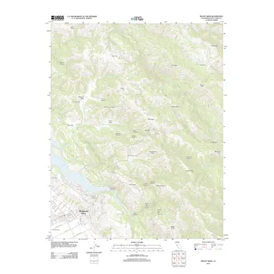
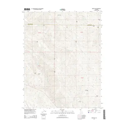
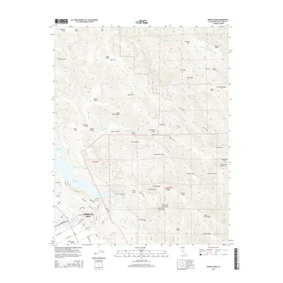
(52)- 2012 Map of Mount Day, 2012 Print
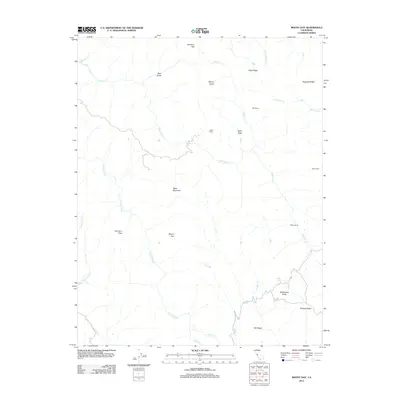 2012 Mount Day2012 Print · USGSCovers San Jose, including Santa Clara County, Alameda County, and other nearby areas
 - 2012 Map of Milpitas, 2012 Print
 2012 Milpitas2012 Print · USGSCovers San Jose, including Fremont, Sunnyvale, and other nearby areas
 - 2012 Map of Mount Sizer, 2012 Print
 2012 Mount Sizer2012 Print · USGSCovers San Jose, including Morgan Hill, Santa Clara County, and other nearby areas
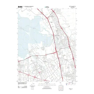
 - 2012 Map of Cupertino, 2012 Print
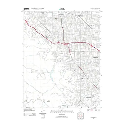 2012 Cupertino2012 Print · USGSCovers San Jose, including Sunnyvale, Santa Clara, and other nearby areas
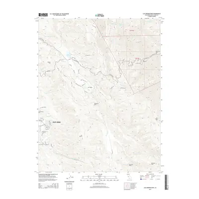
 - 2012 Map of Lick Observatory, 2012 Print
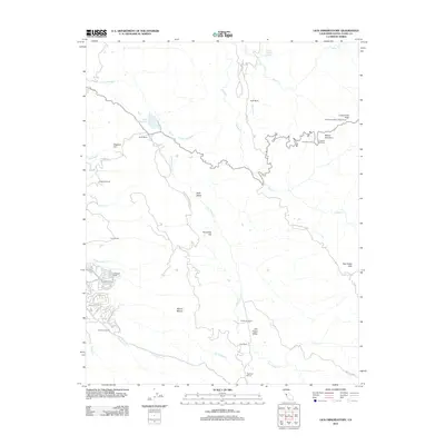 2012 Lick Observatory2012 Print · USGSCovers San Jose, including Santa Clara County, United States, and other nearby areas
 - 2012 Map of San Jose East, 2012 Print
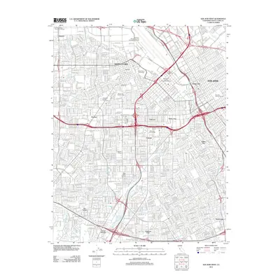
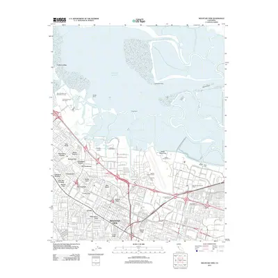
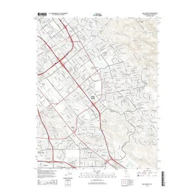
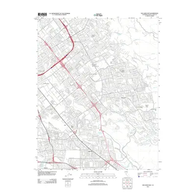 2012 San Jose East2012 Print · USGSCovers San Jose, including Alamitos, Santa Clara County, and other nearby areas
 - 2012 Map of Santa Teresa Hills, 2012 Print
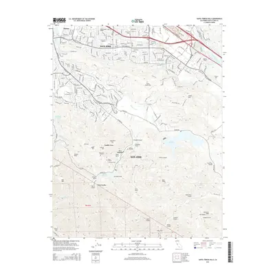
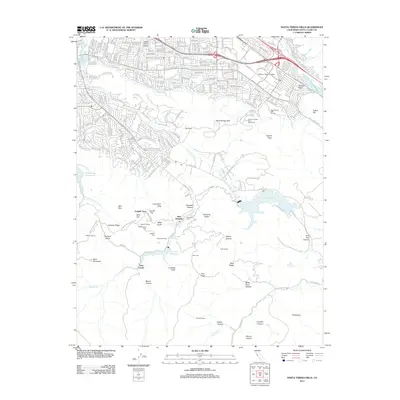 2012 Santa Teresa Hills2012 Print · USGSCovers San Jose, including Peckham Ranch, New Almaden, and other nearby areas
 - 2012 Map of Morgan Hill, 2012 Print
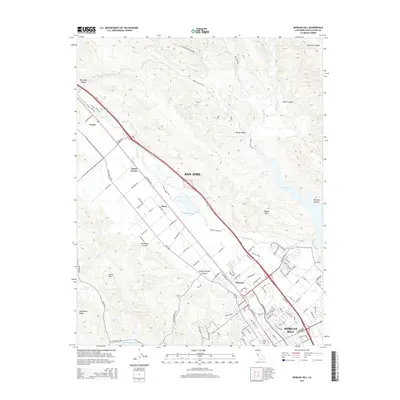
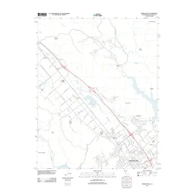 2012 Morgan Hill2012 Print · USGSCovers San Jose, including Morgan Hill, Coyote, and other nearby areas
 - 2012 Map of San Jose West, 2012 Print
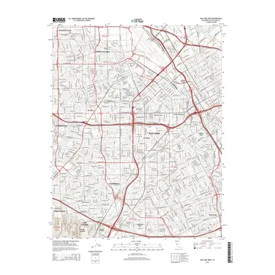
 2012 San Jose West2012 Print · USGSCovers San Jose, including Sunnyvale, Santa Clara, and other nearby areas
 - 2012 Map of Los Gatos, 2012 Print
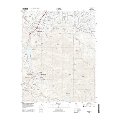
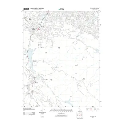 2012 Los Gatos2012 Print · USGSCovers San Jose, including Los Gatos, Saratoga, and other nearby areas
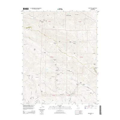
 - 2012 Map of Loma Prieta, 2012 Print
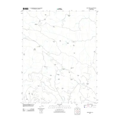 2012 Loma Prieta2012 Print · USGSCovers San Jose, including Watsonville, Sveadal, and other nearby areas
 - 2012 Map of Calaveras Reservoir, 2012 Print
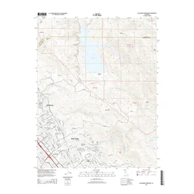
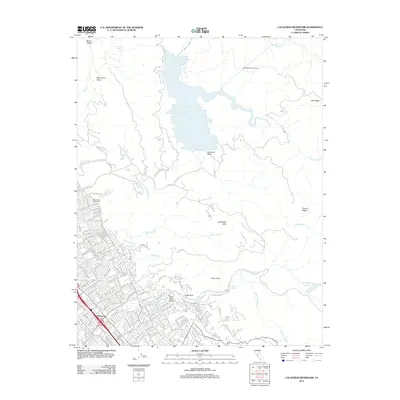 2012 Calaveras Reservoir2012 Print · USGSCovers San Jose, including Fremont, Milpitas, and other nearby areas
 - 2012 Map of Mountain View, 2012 Print
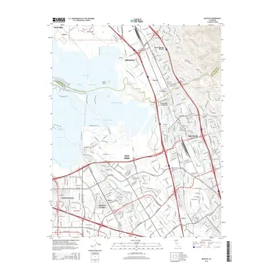
 2012 Mountain View2012 Print · USGSCovers San Jose, including Fremont, Sunnyvale, and other nearby areas
 - 2015 Map of Mount Day, 2015 Print
 2015 Mount Day2015 Print · USGSCovers San Jose, including Santa Clara County, Alameda County, and other nearby areas
 - 2015 Map of Los Gatos, 2015 Print
 2015 Los Gatos2015 Print · USGSCovers San Jose, including Los Gatos, Saratoga, and other nearby areas
 - 2015 Map of Milpitas, 2015 Print
 2015 Milpitas2015 Print · USGSCovers San Jose, including Fremont, Sunnyvale, and other nearby areas
 - 2015 Map of Lick Observatory, 2015 Print
 2015 Lick Observatory2015 Print · USGSCovers San Jose, including Santa Clara County, United States, and other nearby areas
 - 2015 Map of San Jose East, 2015 Print
 2015 San Jose East2015 Print · USGSCovers San Jose, including Alamitos, Santa Clara County, and other nearby areas
 - 2015 Map of Santa Teresa Hills, 2015 Print
 2015 Santa Teresa Hills2015 Print · USGSCovers San Jose, including Peckham Ranch, New Almaden, and other nearby areas
 - 2015 Map of Morgan Hill, 2015 Print
 2015 Morgan Hill2015 Print · USGSCovers San Jose, including Morgan Hill, Coyote, and other nearby areas
 - 2015 Map of Loma Prieta, 2015 Print
 2015 Loma Prieta2015 Print · USGSCovers San Jose, including Watsonville, Sveadal, and other nearby areas
 - 2015 Map of Mount Sizer, 2015 Print
 2015 Mount Sizer2015 Print · USGSCovers San Jose, including Morgan Hill, Santa Clara County, and other nearby areas
 - 2015 Map of San Jose West, 2015 Print
 2015 San Jose West2015 Print · USGSCovers San Jose, including Sunnyvale, Santa Clara, and other nearby areas
 - 2015 Map of Calaveras Reservoir, 2015 Print
 2015 Calaveras Reservoir2015 Print · USGSCovers San Jose, including Fremont, Milpitas, and other nearby areas
 - 2015 Map of Mountain View, 2015 Print
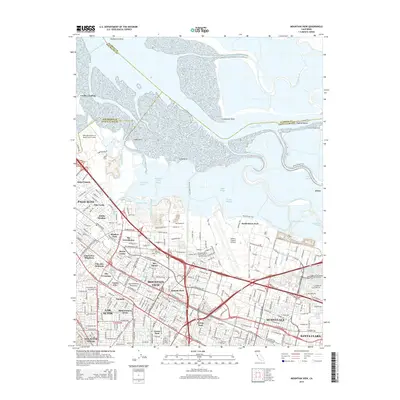 2015 Mountain View2015 Print · USGSCovers San Jose, including Fremont, Sunnyvale, and other nearby areas
Showing maps 1-25 of 52
Top cities near San Jose
- Fremont historical maps
- Sunnyvale historical maps
- Santa Clara historical maps
- Milpitas historical maps
- Cupertino historical maps
- Newark historical maps
See more
Top neighborhoods of San Jose
- Alviso historical maps
- Robertsville historical maps
- Wayne historical maps
- North San Jose historical maps
- Alamitos historical maps
- Almaden Valley historical maps
See more
Frequently asked questions
- What are the different types of historical maps available for San Jose?
- What is the oldest map of San Jose?
- Where can I purchase historical maps of San Jose for my home or office?
- Where can I download high-res historical maps of San Jose?
- Are there historical topographic maps available for San Jose?
- Is there historical aerial imagery available for San Jose?
- Where are historical maps of San Jose sourced from?