2010s Maps of San Jose, California
Explore 39 historic maps of San Jose from the 2010s. These maps offer a rare glimpse into what life looked like during the 2010s — showing old roads, neighborhoods, homes, and landmarks that have changed or disappeared over time.
Whether you're researching your family's past, planning a metal detecting trip, or studying how San Jose's landscape evolved across the 2010s, these high-resolution maps are a powerful tool for exploring the history of this region.
- Focus on a specific era: All maps on this page are from the 2010s, giving you a focused view of this time period.
- See what’s changed: Compare century-old streets, trails, and buildings to today's modern landscape using overlays and satellite layers.
- Research with precision: Use these maps for genealogy, historical research, land use analysis, or educational projects.
- View, download, or print: Maps are fully viewable online in high resolution, and can be downloaded or printed for your own records.
Start exploring San Jose's history through authentic maps from the 2010s. This is your window into the past.
San Jose, CA maps
(39)- 2012 Map of Mount Day, 2012 Print
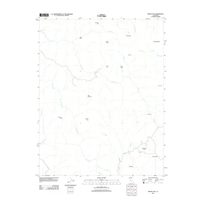 2012 Mount Day2012 Print · USGSThe Diablo Range heights east of San Jose come into focus during the early 2010s, showing a landscape of deep canyons and high peaks. Researchers can trace historic land use through labels for Ogier Ranch, Hamilton Flat, and the remote Old Camp.
 - 2012 Map of Milpitas, 2012 Print
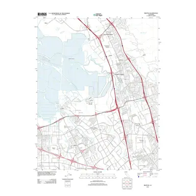 2012 Milpitas2012 Print · USGSSilicon Valley in the early 2010s shows a landscape of massive corporate growth and modern infrastructure overlaid on historic South Bay settlements. Researchers can trace the evolution of Alviso and the Warm Springs District or locate family sites at the Cedar Lawn Memorial Cem.
 - 2012 Map of Mount Sizer, 2012 Print
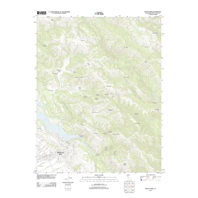 2012 Mount Sizer2012 Print · USGSSanta Clara County’s transition from suburban expansion to high ridge country is captured here just after the turn of the millennium. Researchers can trace land use from the Pedrizetti Winery to the legacy ranchlands of Coe Ranch and Oak Flat Ranch.
 - 2012 Map of Cupertino, 2012 Print
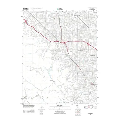 2012 Cupertino2012 Print · USGSThe Silicon Valley suburbs of Cupertino and Saratoga appear in high detail during the early twenty-first century. Genealogists and local historians can locate specific landmarks like the Gates of Heaven Cem, the Sunrise Winery, and early neighborhood footprints in Loyola Corners and Monta Vista.
 - 2012 Map of Lick Observatory, 2012 Print
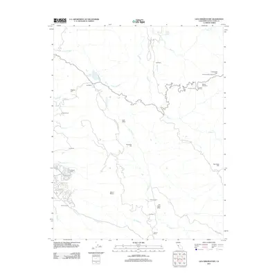 2012 Lick Observatory2012 Print · USGSSanta Clara County’s high peaks and valleys are captured here in the early twenty-first century, centered on the famous astronomical installations at Mount Hamilton. Researchers can locate historic rural properties like Alexander Ranch or follow the winding course of San Felipe Cr through the mountain range.
 - 2012 Map of San Jose East, 2012 Print
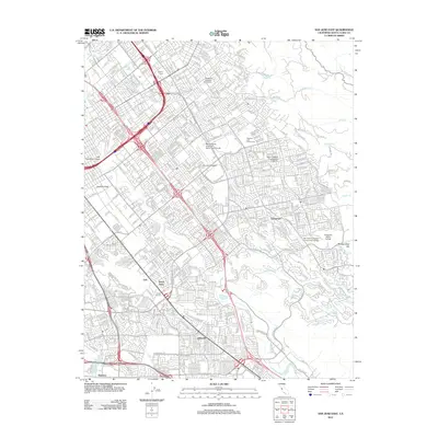 2012 San Jose East2012 Print · USGSThe eastern suburbs of San Jose are shown here in the early twenty-first century as they press against the foothills. Researchers can trace neighborhood evolution and find major landmarks like the Reid-Hillview Airport of Santa Clara County, Oak Hill Memorial Park, and Capitol Drive-In.
 - 2012 Map of Santa Teresa Hills, 2012 Print
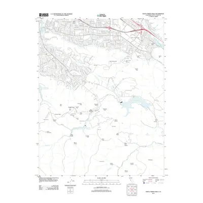 2012 Santa Teresa Hills2012 Print · USGSThe southern Santa Clara Valley foothills are captured here in the early twenty-first century, showing the legacy of the mercury mining era. Researchers can trace the heritage of New Almaden through sites like English Town, Mexican Camp, and the Hacienda Cem.
 - 2012 Map of Morgan Hill, 2012 Print
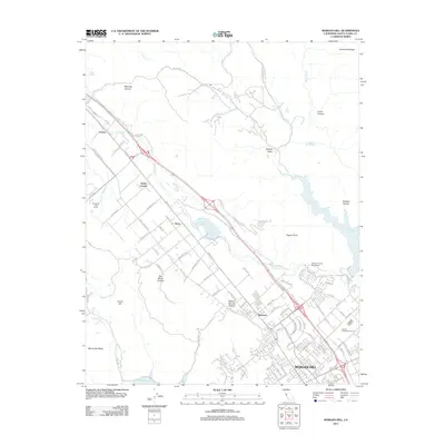 2012 Morgan Hill2012 Print · USGSThe Santa Clara Valley’s southern reach comes into focus during this period of suburban growth around Morgan Hill. Researchers can trace the development of historic rail-side communities like Madrone, Perry, and Coyote or locate landmarks like the Emilio Guglielmo Winery.
 - 2012 Map of San Jose West, 2012 Print
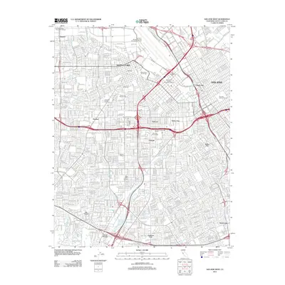 2012 San Jose West2012 Print · USGSThe West San Jose and Santa Clara corridor at the start of the 2010s reveals a mature urban landscape built around historic schools and transit. Researchers can trace neighborhood boundaries in Willow Glen, locate gravesites at Santa Clara Catholic Cem, or follow the Southern Pacific rail alignment.
 - 2012 Map of Los Gatos, 2012 Print
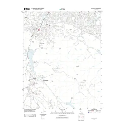 2012 Los Gatos2012 Print · USGSThe foothills of the Santa Cruz Mountains come alive in this early 21st-century record of the Santa Clara Valley. Researchers can trace the development of Lexington Hills, locate the Los Gatos Cem, and explore the mountain terrain near Holy City.
 - 2012 Map of Loma Prieta, 2012 Print
 2012 Loma Prieta2012 Print · USGSHigh in the Santa Cruz Mountains during the early twenty-first century, this area reveals a landscape of deep canyons and prominent peaks. Researchers can trace the drainages of Llagas Cr and locate historical landmarks like Sveadal and Shingle Mill Gulch.
 - 2012 Map of Calaveras Reservoir, 2012 Print
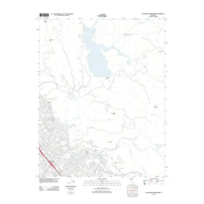 2012 Calaveras Reservoir2012 Print · USGSThe foothills of the Diablo Range meet the growing neighborhoods of San Jose in the early 2010s. Local researchers can trace the edges of the Berryessa district, find the Saint Johns Catholic Cem, and explore the terrain around Calaveras Reservoir.
 - 2012 Map of Mountain View, 2012 Print
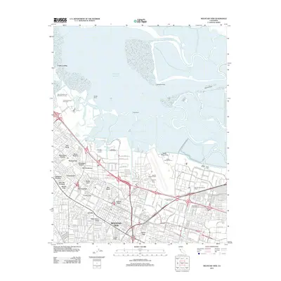 2012 Mountain View2012 Print · USGSSilicon Valley's evolution is on display in this early 2010s survey of the South Bay shoreline and its aviation hubs. Trace the layout of historic neighborhoods like Saint Francis Acres and major landmarks including Moffett Federal Airfield and the Caltrain corridor.
 - 2015 Map of Mount Day, 2015 Print
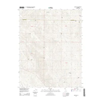 2015 Mount Day2015 Print · USGSThe high Diablo Range backcountry comes into focus in 2015 as the Santa Clara and Alameda county lines intersect. Local historians can trace the steep drainages of Arroyo Hondo or locate remote landmarks like Hamilton Flat, Poverty Ridge, and Black Mtn.
 - 2015 Map of Los Gatos, 2015 Print
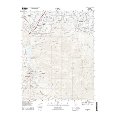 2015 Los Gatos2015 Print · USGSThe Santa Cruz Mountains meet the Santa Clara Valley in the mid-2010s, showing a landscape of deep canyons and ridgeline settlements. Researchers can trace the path of the San Andreas Fault near historical sites like Holy City and Patchen.
 - 2015 Map of Milpitas, 2015 Print
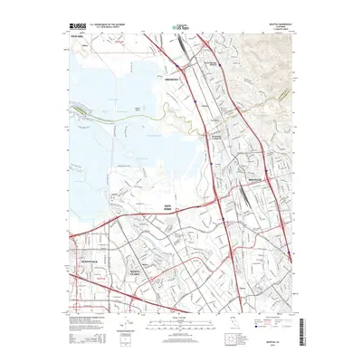 2015 Milpitas2015 Print · USGSThe South Bay landscape in the mid-2010s reveals a dense urban corridor where technology and history meet along Coyote Creek. Researchers can trace the development of Agnew and Alviso or locate local landmarks like the Cedar Lawn Memorial Cemetery.
 - 2015 Map of Lick Observatory, 2015 Print
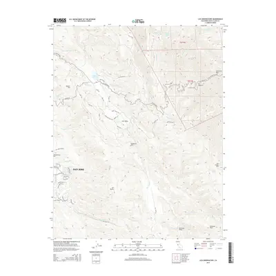 2015 Lick Observatory2015 Print · USGSThe eastern edges of the Diablo Range come into focus during this mid-2010s survey of the heights above San Jose. Researchers can trace the scientific infrastructure of Lick Observatory and explore family-named landmarks like Masters Hill and Henderson Ridge.
 - 2015 Map of San Jose East, 2015 Print
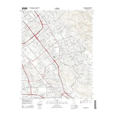 2015 San Jose East2015 Print · USGSEastern San Jose and the Santa Clara Valley foothills are captured here in the mid-2010s during a period of significant urban density. Researchers can trace the development of established districts like Seven Trees and Edenvale or locate family sites near Calvary Cemetery and Oak Hill Memorial Park.
 - 2015 Map of Santa Teresa Hills, 2015 Print
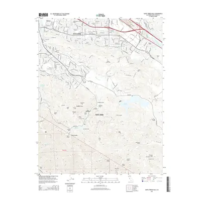 2015 Santa Teresa Hills2015 Print · USGSSan Jose's southern mining and mountain fringe are shown in high detail during the mid-2010s. Local historians can trace the heritage of New Almaden and English Town, locating landmarks like the Old Mexican Cemetery and the Hacienda Tunnel.
 - 2015 Map of Morgan Hill, 2015 Print
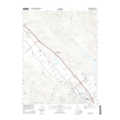 2015 Morgan Hill2015 Print · USGSThe Santa Clara Valley’s southern expansion meets the Diablo Range in this mid-2010s survey of the Morgan Hill corridor. Genealogists and local historians can trace the development of communities like Madrone and Coyote near the shores of Anderson Lake.
 - 2015 Map of Loma Prieta, 2015 Print
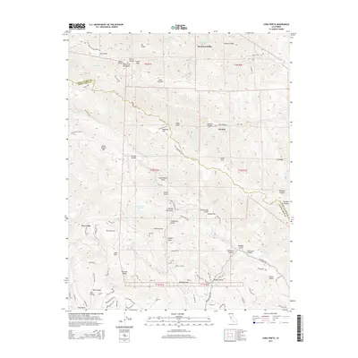 2015 Loma Prieta2015 Print · USGSThe Santa Cruz Mountains near the border of Santa Clara and Santa Cruz counties are documented here in recent detail. Researchers can trace the path of the San Andreas Fault past local landmarks like Loma Prieta, the settlement of Sveadal, and Buzzard Lagoon.
 - 2015 Map of Mount Sizer, 2015 Print
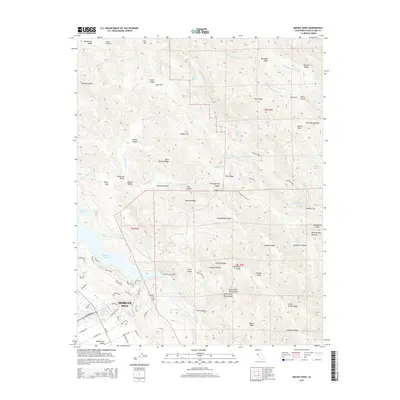 2015 Mount Sizer2015 Print · USGSMorgan Hill and the eastern Santa Clara Valley meet the Diablo Range in this mid-2010s survey. Researchers can trace historical footprints through landmarks like Madrone Soda Springs, Schoolhouse Ridge, and the Cochrane Bridge.
 - 2015 Map of San Jose West, 2015 Print
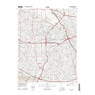 2015 San Jose West2015 Print · USGSThe heart of the Silicon Valley corridor is captured here in the mid-2010s, showing the dense intersection of transit and historic institutions. Genealogists can locate family sites at Santa Clara Catholic Cemetery and Mission City Memorial Park or trace the Guadalupe River.
 - 2015 Map of Calaveras Reservoir, 2015 Print
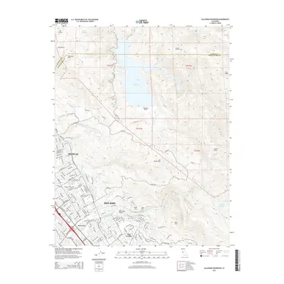 2015 Calaveras Reservoir2015 Print · USGSThe Diablo Range meets the urbanizing Santa Clara Valley in this 2015 study of the rugged eastern hills. You can trace the complex water infrastructure of the Calaveras Reservoir and S Bay Aqueduct as they serve the growing neighborhoods of Milpitas and Berryessa.
 - 2015 Map of Mountain View, 2015 Print
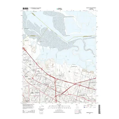 2015 Mountain View2015 Print · USGSThe southern reaches of the San Francisco Bay and the heart of the Silicon Valley appear here in the mid-2010s. Modern researchers can trace the urban development of Mountain View and Sunnyvale alongside landmarks like Moffett Federal Airfield and Alviso.
Showing maps 1-25 of 39
Top cities near San Jose
- Fremont historical maps
- Sunnyvale historical maps
- Santa Clara historical maps
- Milpitas historical maps
- Cupertino historical maps
- Newark historical maps
See more
Top neighborhoods of San Jose
- Alviso historical maps
- Robertsville historical maps
- Wayne historical maps
- North San Jose historical maps
- Alamitos historical maps
- Almaden Valley historical maps
See more
Frequently asked questions
- What are the different types of historical maps available for San Jose?
- What is the oldest map of San Jose?
- Where can I purchase historical maps of San Jose for my home or office?
- Where can I download high-res historical maps of San Jose?
- Are there historical topographic maps available for San Jose?
- Is there historical aerial imagery available for San Jose?
- Where are historical maps of San Jose sourced from?