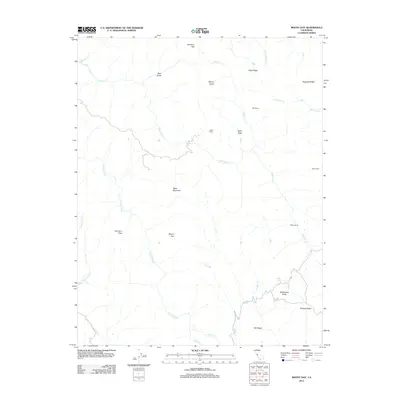
2012 Map of Mount Day
USGS Topo · Published 2012About this map
Ogier Ranch and Patton Ranch reflect the enduring pastoral character of this portion of the Diablo Range during the early 21st century. The landscape is defined by its complex drainage network, where the headwaters of Alameda Cr and the winding Arroyo Hondo carve through steep terrain. High points such as Mount Day, Black Mountain, and Mount Lewis anchor the topography, providing a sense of the scale of these coastal mountains.
Find a feature on this map
29 named features on this map. Tap any name to fly to it.
Don’t see what you’re looking for? This feature index may not catch every label — zoom into the map to look around manually.
Map Details
Editions of this 2012 Mount Day Map
This is the sole edition of this map. No revisions or reprints were ever made.
Other maps of this area

1889 · San Jose
USGS Topo · 1:62,500

1897 · San Jose
USGS Topo · 1:62,500

1897 · Mt. Hamilton
USGS Topo · 1:62,500

1899 · San Jose
USGS Topo · 1:62,500

1906 · Pleasanton
USGS Topo · 1:62,500

1907 · Tesla
USGS Topo · 1:62,500

1941 · Pleasanton
USGS Topo · 1:62,500

1942 · Mt. Hamilton
USGS Topo · 1:62,500

1942 · Altamont
USGS Topo · 1:62,500

1943 · Pleasanton
USGS Topo · 1:62,500