2000s (21st Century) Maps of Santa Cruz, California
Explore 76 historic maps of Santa Cruz from the 2000s (21st Century). These maps offer a rare glimpse into what life looked like during the 2000s — showing old roads, neighborhoods, homes, and landmarks that have changed or disappeared over time.
Whether you're researching your family's past, planning a metal detecting trip, or studying how Santa Cruz's landscape evolved across the 2000s, these high-resolution maps are a powerful tool for exploring the history of this region.
- Focus on a specific era: All maps on this page are from the 2000s, giving you a focused view of this time period.
- See what’s changed: Compare century-old streets, trails, and buildings to today's modern landscape using overlays and satellite layers.
- Research with precision: Use these maps for genealogy, historical research, land use analysis, or educational projects.
- View, download, or print: Maps are fully viewable online in high resolution, and can be downloaded or printed for your own records.
Start exploring Santa Cruz's history through authentic maps from the 2000s. This is your window into the past.
Santa Cruz, CA maps
(76)- 2012 Map of Santa Cruz, 2012 Print
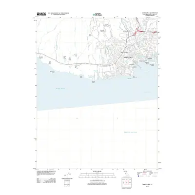 2012 Santa Cruz2012 Print · USGSThe Monterey Bay coastline in the early twenty-first century shows a city defined by its famous boardwalk and academic presence. Trace the unique circular neighborhood of The Circles or locate landmarks like the Santa Cruz Looff Carousel and Roller Coaster and Evergreen Cem.
 - 2012 Map of Santa Cruz OE W, 2012 Print
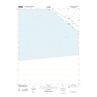 2012 Santa Cruz OE W2012 Print · USGSThe Santa Cruz coastline south of Davenport appears in fine detail during the early 2010s, showing the intersection of coastal ranching and marine landmarks. Trace the local geography of the shore from Sand Hill Bluff to the small settlements at Majors and Gordola.
 - 2012 Map of Watsonville East, 2012 Print
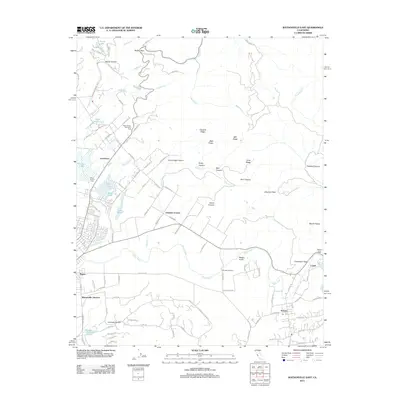 2012 Watsonville East2012 Print · USGSThe Pajaro River valley and the rugged foothills of the Santa Cruz Mountains come into focus in this 2012 study of the Central Coast. Researchers can trace the rail heritage at Watsonville Junction and find local landmarks like Saint Francis Cem or Johnston Corner.
 - 2012 Map of Moss Landing, 2012 Print
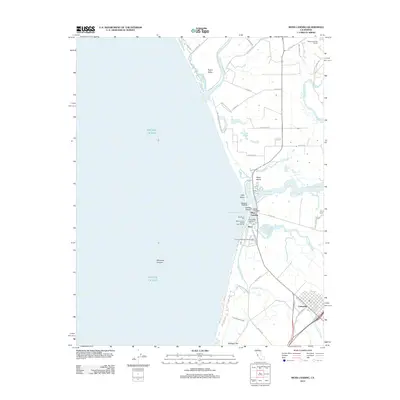 2012 Moss Landing2012 Print · USGSThe Monterey Bay coast comes into sharp focus during the early 2010s, showing the intersection of the maritime economy and sensitive wetlands. Trace the local infrastructure from the Sandholdt Pier and Moss Landing harbor to the historic Castroville Moss Landing Cem.
 - 2012 Map of Soquel, 2012 Print
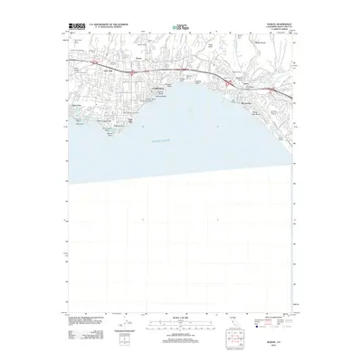 2012 Soquel2012 Print · USGSThe Santa Cruz coastline comes into focus in this contemporary survey of the Monterey Bay shoreline. Genealogists and local historians can trace family plots at Soquel Cemetery or locate landmarks like the Aptos Rancho and the Capitola Fishing Wharf.
 - 2012 Map of Chittenden, 2012 Print
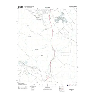 2012 Chittenden2012 Print · USGSThe Santa Clara Valley corridor south of Gilroy is captured here in the early 2000s, showcasing a landscape of river confluences and historic transit points. Genealogists and local historians can trace the sites of Old Gilroy, the Sargent Oil Field, and Carnadero.
 - 2012 Map of Watsonville West, 2012 Print
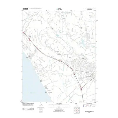 2012 Watsonville West2012 Print · USGSThe Monterey Bay coastline comes into focus in this early 2010s survey of the Watsonville area and its surrounding sloughs. Researchers can trace the complex wetlands of Harkins Slough, find family roots at Pioneer Cem, or explore coastal points like La Selva Beach.
 - 2012 Map of Franklin Point, 2012 Print
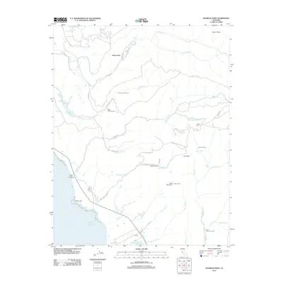 2012 Franklin Point2012 Print · USGSThe San Mateo coast at the turn of the decade reveals a landscape of protected redwoods and remote canyon outposts. Genealogists and hikers can trace old access points like Notley Junction, Chalks Lookout, and the quiet settlement at Butano Park.
 - 2012 Map of Davenport, 2012 Print
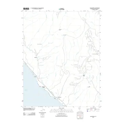 2012 Davenport2012 Print · USGSThe Santa Cruz coast and its rugged interior highlands are captured here in the early twenty-first century. Researchers can trace historical ranching and utility sites like Warrenella Ranch and the Big Creek Powerhouse, alongside the coastal village of Davenport.
 - 2012 Map of Mindego Hill, 2012 Print
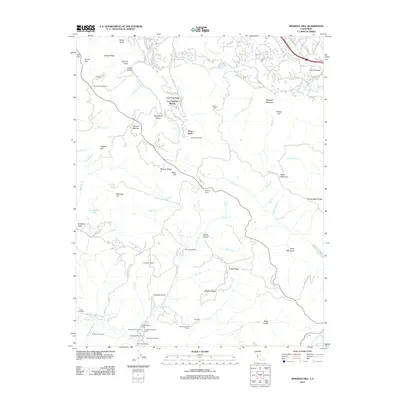 2012 Mindego Hill2012 Print · USGSThe Santa Cruz Mountains enclaves of Palo Alto and Los Altos Hills are captured here in the early twenty-first century. Researchers can trace the modern development of Foothill College alongside family-named sites like Crockers Curve and Page Mill.
 - 2012 Map of Laurel, 2012 Print
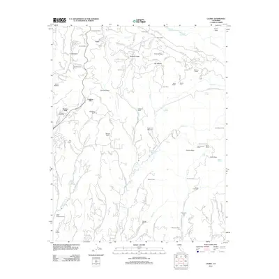 2012 Laurel2012 Print · USGSThe Santa Cruz Mountains are revealed in this modern era survey, capturing the rugged intersection of ridge-top settlements and deep canyon gulches. Genealogists and hikers can trace sites like the Burrell School, Bethany University, and the historic Tunnel Number 2.
 - 2012 Map of Mount Madonna, 2012 Print
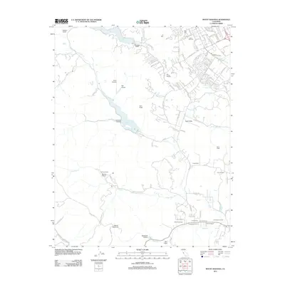 2012 Mount Madonna2012 Print · USGSSanta Clara County’s southern foothills appear in detail during this era of vineyard expansion and suburban growth. Genealogists and local historians can trace family plots at Mount Hope Cem or explore the landscape of Solis Rancho and Paradise Valley.
 - 2012 Map of Cupertino, 2012 Print
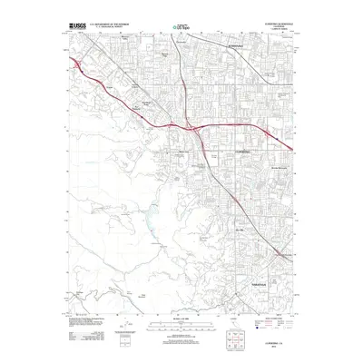 2012 Cupertino2012 Print · USGSThe Silicon Valley suburbs of Cupertino and Saratoga appear in high detail during the early twenty-first century. Genealogists and local historians can locate specific landmarks like the Gates of Heaven Cem, the Sunrise Winery, and early neighborhood footprints in Loyola Corners and Monta Vista.
 - 2012 Map of Big Basin, 2012 Print
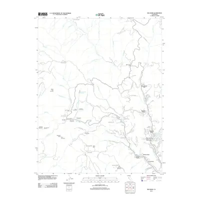 2012 Big Basin2012 Print · USGSThe Santa Cruz Mountains in the early 2010s reveal a dense network of forest communities and mountain retreats along the San Lorenzo River. Trace the layouts of settlements like Wildwood, Riverside Grove, and Bracken Brae alongside landmarks like Locatelli Ranch.
 - 2012 Map of Los Gatos, 2012 Print
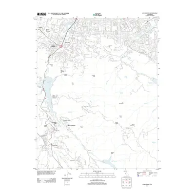 2012 Los Gatos2012 Print · USGSThe foothills of the Santa Cruz Mountains come alive in this early 21st-century record of the Santa Clara Valley. Researchers can trace the development of Lexington Hills, locate the Los Gatos Cem, and explore the mountain terrain near Holy City.
 - 2012 Map of Felton, 2012 Print
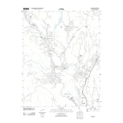 2012 Felton2012 Print · USGSSanta Cruz County settlements and timber-era history are well-preserved in this modern survey of the San Lorenzo Valley. Genealogists and historians can trace family-named sites like Lockhart Gulch or visit landmarks like the Felton Covered Bridge and Roaring Camp.
 - 2012 Map of Point Ano Nuevo, 2012 Print
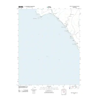 2012 Point Ano Nuevo2012 Print · USGSThe rugged San Mateo coastline comes into focus in this early twenty-first-century survey. Researchers can trace land use from the Coastways Ranch to the Las Trancas Airport and remote sites like Pelican Rock.
 - 2012 Map of Loma Prieta, 2012 Print
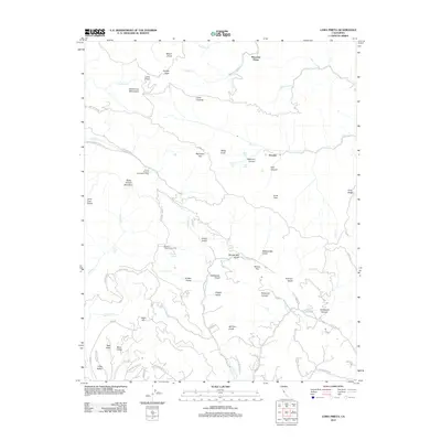 2012 Loma Prieta2012 Print · USGSHigh in the Santa Cruz Mountains during the early twenty-first century, this area reveals a landscape of deep canyons and prominent peaks. Researchers can trace the drainages of Llagas Cr and locate historical landmarks like Sveadal and Shingle Mill Gulch.
 - 2012 Map of Castle Rock Ridge, 2012 Print
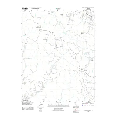 2012 Castle Rock Ridge2012 Print · USGSThe Santa Cruz Mountains are detailed in the early twenty-first century, showing the ridges between Saratoga and the San Lorenzo River. Researchers can trace the grounds of Alma College, find the site of Uncle Billys Cabin, and locate Hakone Gardens.
 - 2015 Map of Los Gatos, 2015 Print
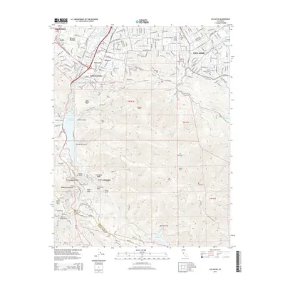 2015 Los Gatos2015 Print · USGSThe Santa Cruz Mountains meet the Santa Clara Valley in the mid-2010s, showing a landscape of deep canyons and ridgeline settlements. Researchers can trace the path of the San Andreas Fault near historical sites like Holy City and Patchen.
 - 2015 Map of Mount Madonna, 2015 Print
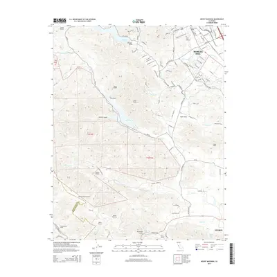 2015 Mount Madonna2015 Print · USGSThe foothills of the Santa Cruz Mountains come alive in this 2015 study of the Morgan Hill and Gilroy area. Researchers can trace family history at Mount Hope Cemetery or locate the precise track of the San Andreas Fault as it passes near Mount Madonna.
 - 2015 Map of Laurel, 2015 Print
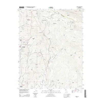 2015 Laurel2015 Print · USGSThe Santa Cruz Mountains and the San Andreas Fault dominate this 2015 survey of the rugged corridor between Scotts Valley and the ridge line. Researchers can trace historic transport and settlement sites like Laurel, Glenwood, and the Bethany Univ campus.
 - 2015 Map of Loma Prieta, 2015 Print
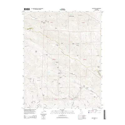 2015 Loma Prieta2015 Print · USGSThe Santa Cruz Mountains near the border of Santa Clara and Santa Cruz counties are documented here in recent detail. Researchers can trace the path of the San Andreas Fault past local landmarks like Loma Prieta, the settlement of Sveadal, and Buzzard Lagoon.
 - 2015 Map of Castle Rock Ridge, 2015 Print
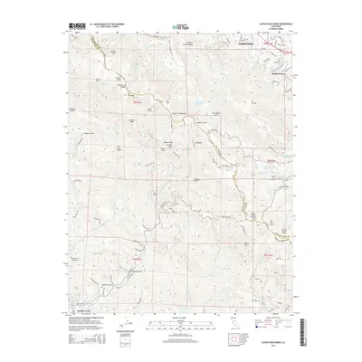 2015 Castle Rock Ridge2015 Print · USGSThe high ridges of the Santa Cruz Mountains come into focus in the mid-2010s, where the suburban limits of Saratoga meet the deep canyons of the range. Genealogists and hikers can trace the San Andreas Fault or locate family-named landmarks like Hopkins Gulch and Beatty Ridge.
 - 2015 Map of Franklin Point, 2015 Print
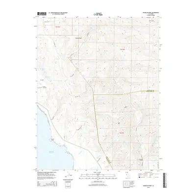 2015 Franklin Point2015 Print · USGSThe coastal ridges of San Mateo and Santa Cruz counties are captured here in the mid-2010s, showing a landscape of deep canyons and secluded waterfalls. Trace the paths to Berry Creek Falls or locate landmarks like Butano Park and Chalk Mtn.
Showing maps 1-25 of 76
Top cities of Santa Cruz
- Santa Cruz historical maps
- Watsonville historical maps
- Scotts Valley historical maps
- Capitola historical maps
- Live Oak historical maps
- Boulder Creek historical maps
Frequently asked questions
- What are the different types of historical maps available for Santa Cruz?
- What is the oldest map of Santa Cruz?
- Where can I purchase historical maps of Santa Cruz for my home or office?
- Where can I download high-res historical maps of Santa Cruz?
- Are there historical topographic maps available for Santa Cruz?
- Is there historical aerial imagery available for Santa Cruz?
- Where are historical maps of Santa Cruz sourced from?