2020s Maps of Santa Cruz, California
Explore 19 historic maps of Santa Cruz from the 2020s. These maps offer a rare glimpse into what life looked like during the 2020s — showing old roads, neighborhoods, homes, and landmarks that have changed or disappeared over time.
Whether you're researching your family's past, planning a metal detecting trip, or studying how Santa Cruz's landscape evolved across the 2020s, these high-resolution maps are a powerful tool for exploring the history of this region.
- Focus on a specific era: All maps on this page are from the 2020s, giving you a focused view of this time period.
- See what’s changed: Compare century-old streets, trails, and buildings to today's modern landscape using overlays and satellite layers.
- Research with precision: Use these maps for genealogy, historical research, land use analysis, or educational projects.
- View, download, or print: Maps are fully viewable online in high resolution, and can be downloaded or printed for your own records.
Start exploring Santa Cruz's history through authentic maps from the 2020s. This is your window into the past.
Santa Cruz, CA maps
(19)- 2021 Map of Santa Cruz OE W, 2021 Print
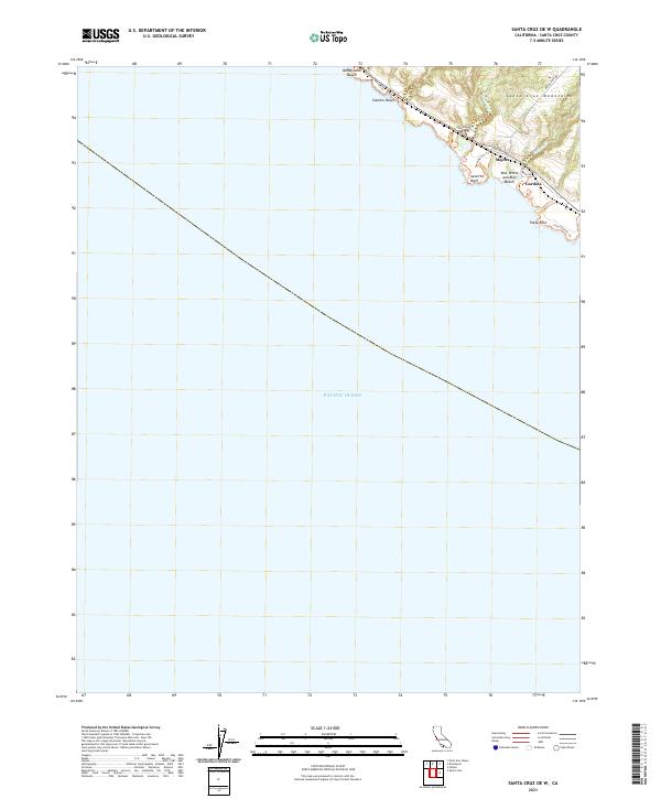 2021 Santa Cruz OE W2021 Print · USGSAlong the California coast in 2021, the Santa Cruz shoreline retains a network of small settlements and coastal trails. Researchers can trace the landscape around Majors and Gordola, or locate landmarks like Sand Hill Bluff and Table Rock.
 - 2021 Map of Watsonville East, 2021 Print
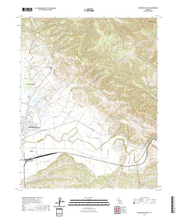 2021 Watsonville East2021 Print · USGSThe fertile Pajaro Valley and southern Santa Cruz Mountains meet in this recent survey of the tri-county border area. Researchers can trace land use patterns near Watsonville Junction or locate family sites at Saint Francis Cem and Aromas.
 - 2021 Map of Laurel, 2021 Print
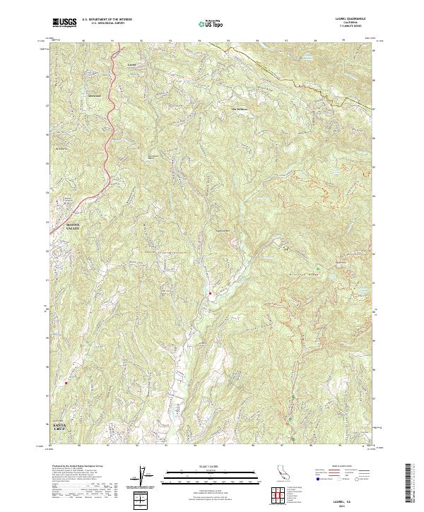 2021 Laurel2021 Print · USGSThe Santa Cruz Mountains at the start of the 2020s are seen here in detail, from the ridge-top roads of Skyland Ridge to the outskirts of Santa Cruz. Local historians can trace family-named landmarks like Mountain Charlie Gulch and the older mountain settlements of Laurel and Glenwood.
 - 2021 Map of Loma Prieta, 2021 Print
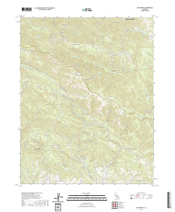 2021 Loma Prieta2021 Print · USGSThe Santa Cruz Mountains and the Santa Clara County line meet at the summit of Loma Prieta in this modern survey of the California coast range. Researchers can trace remote settlements and canyon landmarks such as Sveadal, Grizzly Flat, and Maymens Flat along the winding Highland Way.
 - 2021 Map of Los Gatos, 2021 Print
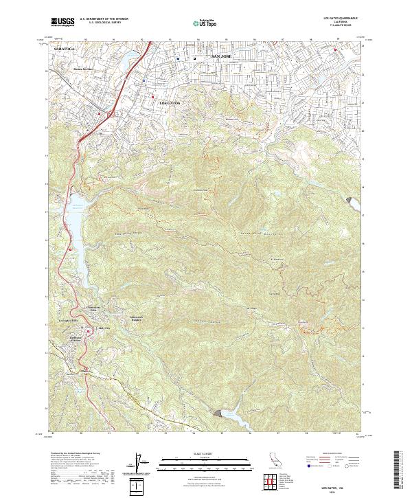 2021 Los Gatos2021 Print · USGSThe Santa Cruz Mountains meet the southern edge of the valley in the 2020s. Trace the mountain communities of Holy City and Redwood Estates or explore the ridgeline trails around Mt Umunhum and Sierra Azul.
 - 2021 Map of Mount Madonna, 2021 Print
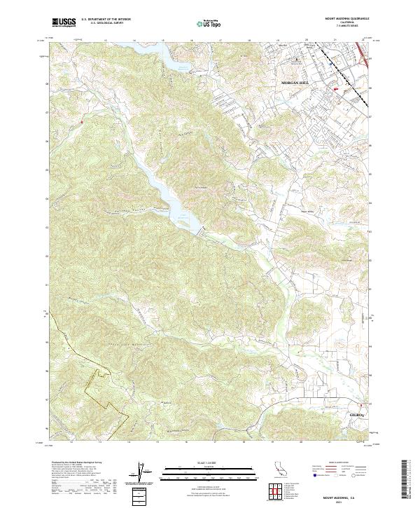 2021 Mount Madonna2021 Print · USGSThe southern end of the Santa Clara Valley meets the mountains in the early twenty-first century as urban development reaches the base of El Toro. Genealogists and historians can trace the transition from Morgan Hill city streets to rural landmarks like Mount Hope Memorial Park and Uvas Reservoir.
 - 2021 Map of Santa Cruz, 2021 Print
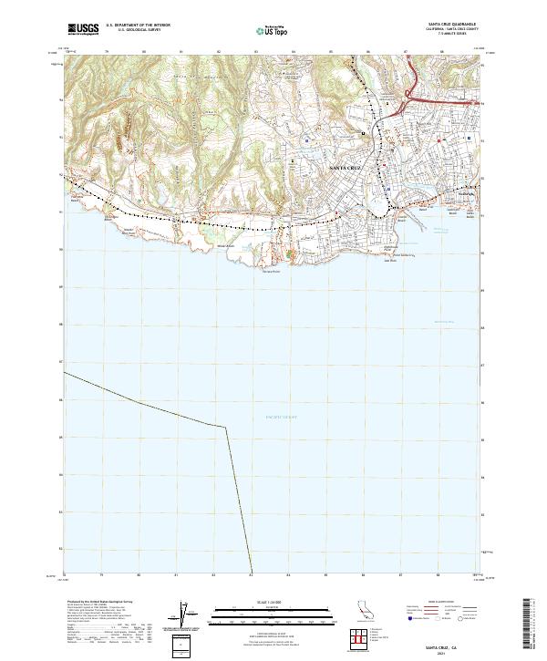 2021 Santa Cruz2021 Print · USGSThe Monterey Bay coastline comes alive in this contemporary record of Santa Cruz's urban and natural landscape. Researchers can trace the layout of the University of California Santa Cruz Campus or locate historic resting places like Evergreen Cem and Home of Peace Cem.
 - 2021 Map of Chittenden, 2021 Print
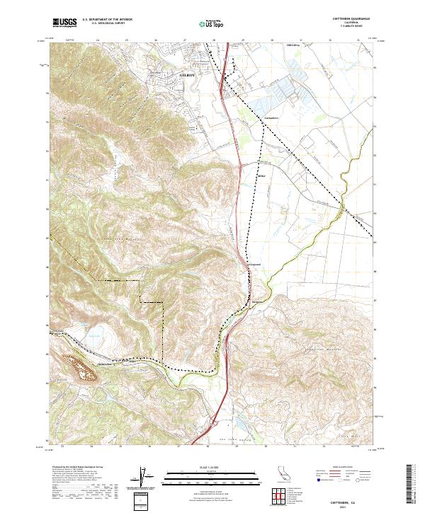 2021 Chittenden2021 Print · USGSThe southern Santa Clara Valley meets the foothills of the Santa Cruz Mountains in this recent survey. Local historians can trace the transition from GILROY to Old Gilroy and locate landmarks like Soda Lake, Gavilan College, and the historic Sargent settlement.
 - 2021 Map of Soquel, 2021 Print
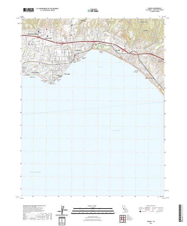 2021 Soquel2021 Print · USGSCoastal Santa Cruz County comes to life in the early 2020s, showing the dense settlement from Live Oak to Rio Del Mar. Researchers can trace the coastal lagoons and find local landmarks like Soquel Cem, Rob Roy Junction, and Twin Lakes.
 - 2021 Map of Watsonville West, 2021 Print
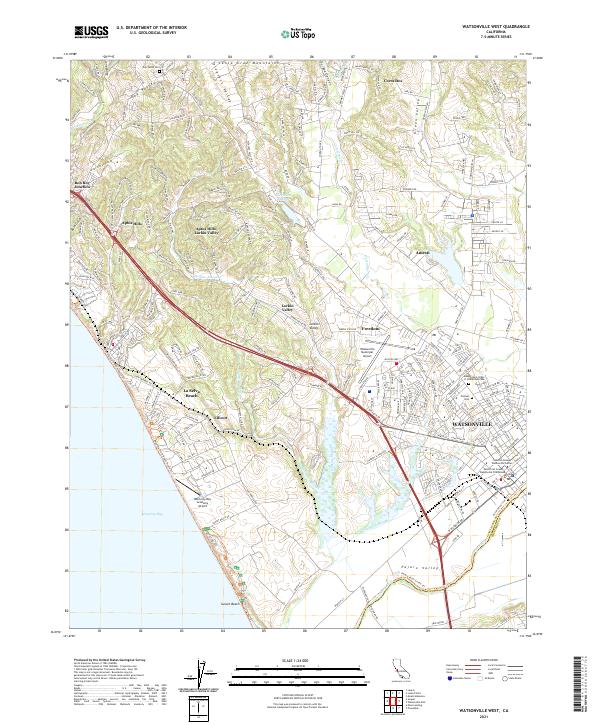 2021 Watsonville West2021 Print · USGSThe Pajaro Valley and the southern reaches of the Santa Cruz Mountains are captured in this recent survey. Genealogists and local historians can trace the sites of Pioneer Cem and Day Valley Cem or the winding course of Watsonville Slough.
 - 2021 Map of Moss Landing, 2021 Print
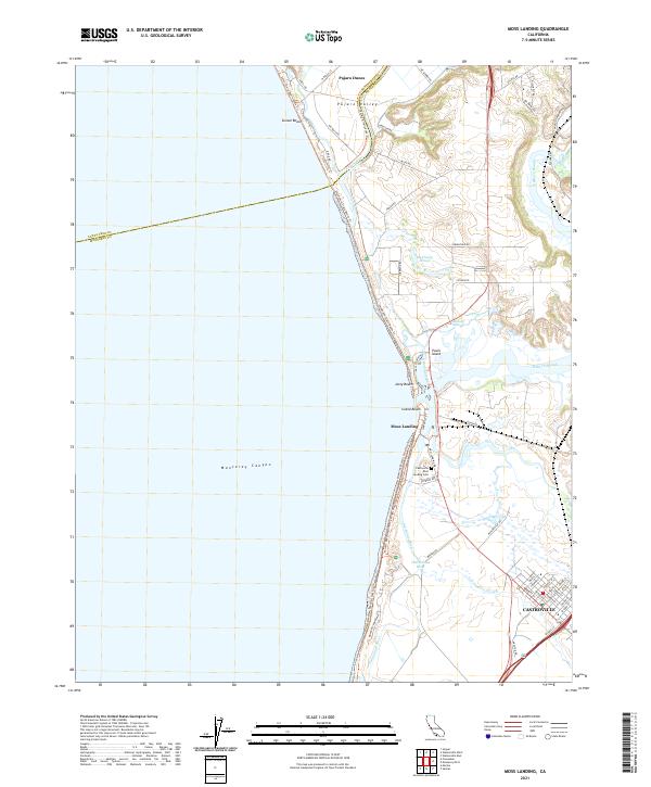 2021 Moss Landing2021 Print · USGSThe Monterey Bay coast and its intricate sloughs are charted here in the early 2020s, showing a landscape defined by water and salt air. Genealogists and historians can trace the streets of Castroville and locate the Castroville Moss Landing Cem near the mouth of the Old Salinas River.
 - 2021 Map of Big Basin, 2021 Print
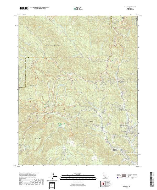 2021 Big Basin2021 Print · USGSThe Santa Cruz Mountains at the start of the 2020s reveal a landscape of dense redwood forests and narrow river-valley communities. Genealogists and hikers can trace the winding paths from Boulder Creek to Big Basin and the remote Waterman Gap.
 - 2021 Map of Davenport, 2021 Print
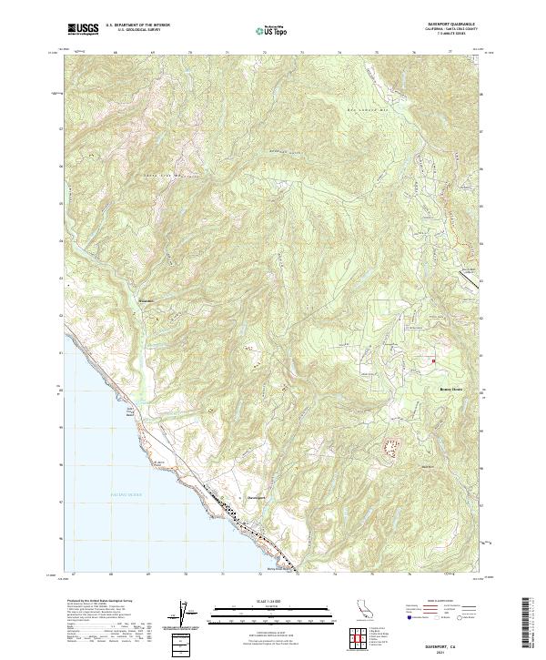 2021 Davenport2021 Print · USGSThe Santa Cruz coastline near Davenport is captured in 2021, showing the area's mix of coastal bluffs and mountain ridges. Trace the modern layout of Bonny Doon and find landmarks like Bonny Doon Airport and Scott Creek Marsh.
 - 2021 Map of Castle Rock Ridge, 2021 Print
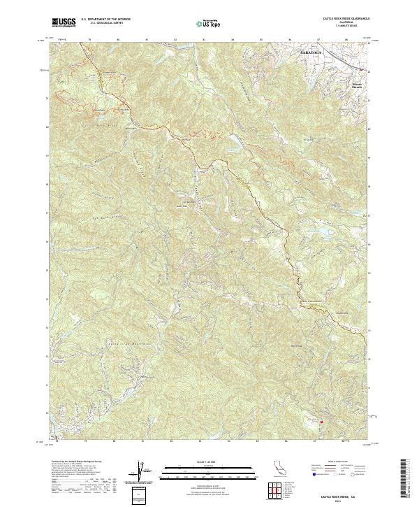 2021 Castle Rock Ridge2021 Print · USGSThe high Santa Cruz Mountains come into focus in 2021, showing the residential edges of Saratoga meeting the ridge. Trace family landmarks and water sources from Lake Ranch Reservoir to Bear Creek Summit and Mt Bielawski.
 - 2021 Map of Felton, 2021 Print
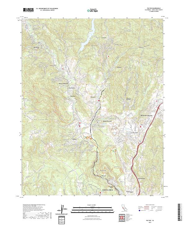 2021 Felton2021 Print · USGSThe San Lorenzo River valley is shown in the early twenty-first century as a bustling network of mountain towns and winding trails. Genealogists and hikers can trace connections between Felton, Mount Hermon, and Ben Lomond, or follow the Fall Creek Trail through the redwoods.
 - 2021 Map of Cupertino, 2021 Print
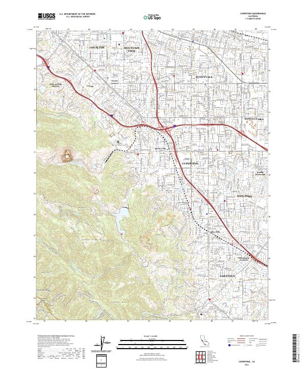 2021 Cupertino2021 Print · USGSSilicon Valley's dense suburban core meets the rugged foothills of the Santa Cruz Mountains in the early 2020s. Researchers can trace the modern layout of CUPERTINO and SARATOGA or locate local landmarks like De Anza College and Gates of Heaven Cem.
 - 2021 Map of Point Ano Nuevo, 2021 Print
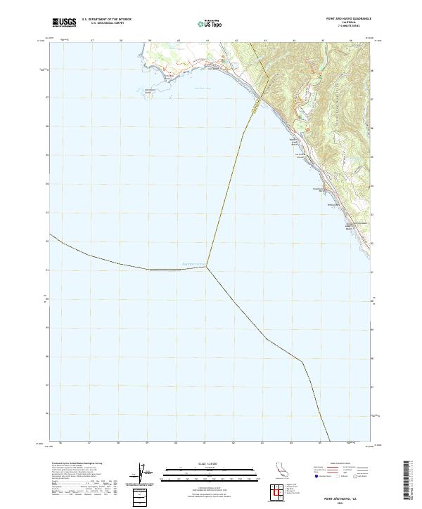 2021 Point Ano Nuevo2021 Print · USGSThe Central California coast at the turn of the decade reveals a landscape of maritime landmarks and mountain trails. Trace the shore from Año Nuevo Island to China Ladder Beach, or locate the inland Las Trancas Airport.
 - 2021 Map of Franklin Point, 2021 Print
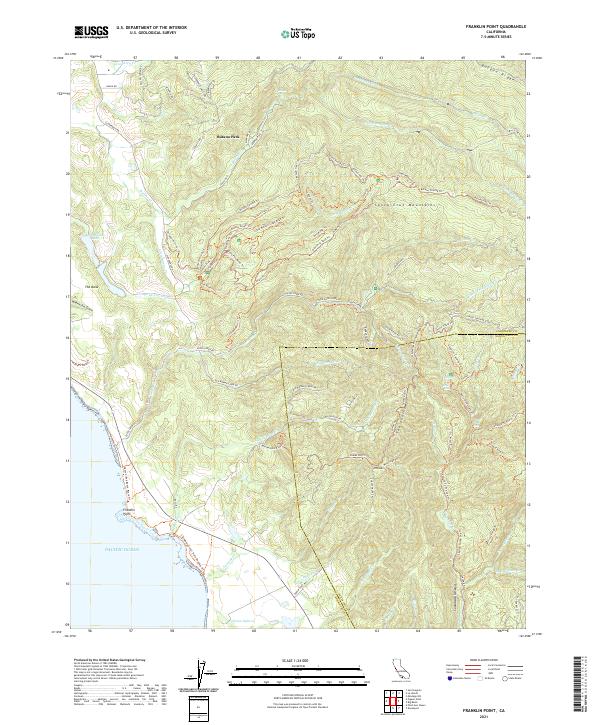 2021 Franklin Point2021 Print · USGSThe rugged coastline of the Santa Cruz Mountains comes to life in this recent survey. Local historians can trace the paths of the Butano Fire Rd Trl and find landmarks like Berry Creek Falls and Franklin Point.
 - 2022 Map of Mindego Hill, 2022 Print
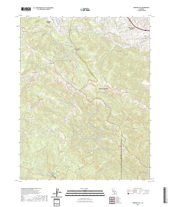 2022 Mindego Hill2022 Print · USGSThe Santa Cruz Mountains west of the Silicon Valley floor are shown here in the early 2020s, where three counties meet among high ridges. Local historians can trace the network of fire lanes and trails around Mindego Hill, Portola State Park, and Foothill College.
End of results
Showing maps 1-19 of 19
Top cities of Santa Cruz
- Santa Cruz historical maps
- Watsonville historical maps
- Scotts Valley historical maps
- Capitola historical maps
- Live Oak historical maps
- Boulder Creek historical maps
Frequently asked questions
- What are the different types of historical maps available for Santa Cruz?
- What is the oldest map of Santa Cruz?
- Where can I purchase historical maps of Santa Cruz for my home or office?
- Where can I download high-res historical maps of Santa Cruz?
- Are there historical topographic maps available for Santa Cruz?
- Is there historical aerial imagery available for Santa Cruz?
- Where are historical maps of Santa Cruz sourced from?