Old Maps of Beegum, California
Explore 12 old maps of Beegum, spanning from 1890 to today. These high-resolution historic maps reveal how streets, neighborhoods, landmarks, and natural features evolved over time — perfect for genealogy, metal detecting, research, and local history exploration.
What you can do with these maps:
- See how Beegum changed over time: Compare historical maps to modern-day views to trace roads, homesites, rail lines & more.
- View detailed metadata: Each map includes creators, publishers, year, scale, and archive source.
- Overlay maps with satellite & LiDAR: Visualize the past alongside modern tools to explore terrain & human change.
- Trusted historical sources: Maps sourced from the USGS, Library of Congress, and other archives.
- Access maps your way: View online, download high-res files, or order prints for personal or research use.
Start exploring old maps of Beegum to uncover forgotten places, hidden landmarks, and the deep history beneath your feet.
Beegum, CA maps
(12)- 1890 Map of Red Bluff
 1890 Red Bluff1890 Print · USGSNorthern California in the late nineteenth century was a hub of river-and-rail activity where the Central Pacific Railroad met the rugged Klamath Mountains. Researchers can trace old ferry crossings like Ball's Ferry, locate the U.S. Fishery, or find early mining camps and stations such as Minersville and Buck Horn Station.
 - 1894 Map of Red Bluff, 1896 Print
 1894 Red Bluff1896 Print · USGSNorthern California's mining and river-trading frontier comes alive in this survey of the late nineteenth century. Genealogists and historians can trace the growth of rail hubs like Redding or locate early river crossings and industrial sites such as Jelley's Ferry and the Copper Mine.6 unique versions available
 - 1951 Map of Chanchelulla Peak, 1953 Print
 1951 Chanchelulla Peak1953 Print · USGSNorthern California's interior mountains at the midpoint of the century reveal a landscape of isolated forest stations and family ranches. Researchers can locate the Midas Mine and trace early road networks connecting Platina with the Harrison Gulch Ranger Station and Deer Lick Springs.5 unique versions available
 - 1958 Map of Redding
 1958 Redding1958 Print · USGSNorthern California's valley and mountain landscapes are captured in the late fifties, showing the region as new reservoirs reshaped the river systems. Genealogists and historians can trace rail-side towns like Cottonwood, the military presence at Red Bluff Air Force Station, and mountain outposts like Weaverville.5 unique versions available
 - 1979 Map of Red Bluff
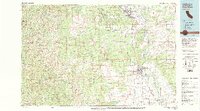 1979 Red Bluff1979 Print · USGSTehama and Shasta counties come alive in the late seventies as the agricultural heart of the northern valley meets the high wilderness. Genealogists and local historians can trace the rail-and-river corridor from Red Bluff to Los Molinos, finding sites like Balls Ferry and the Southern Pacific line.3 unique versions available
 - 1981 Map of Beegum
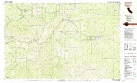 1981 Beegum1981 Print · USGSThe remote borderlands of Tehama, Shasta, and Trinity counties are captured in the early eighties as a landscape of isolated ranching and federal forestry. Researchers can trace family-named sites like Williams Ranch, find the local Cem, or locate the Chrome Mine (Site).
 - 1998 Map of Beegum, 2003 Print
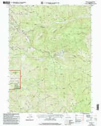 1998 Beegum2003 Print · USGSShasta and Tehama counties appear here in the late nineties, showing a landscape defined by rugged national forest boundaries and isolated ranching outposts. Researchers can trace historic family locations like Williams Ranch and the Patty Mocus Butte Lookout.
 - 2012 Map of Beegum, 2012 Print
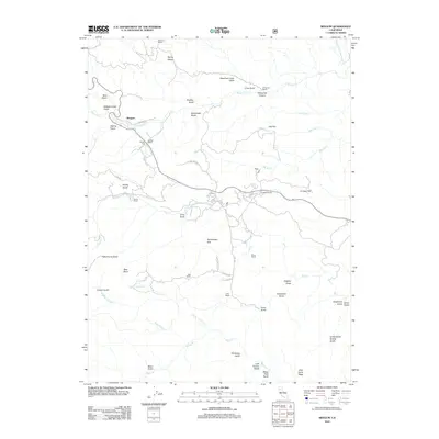 2012 Beegum2012 Print · USGSWestern Shasta County ranching culture is well-documented in this early twenty-first-century survey of the foothills. Genealogists and local historians can trace the footprints of the Whiteman Ranch, Braden Ranch, and Shiell Ranch across this network of gulches and flats.
 - 2015 Map of Beegum, 2015 Print
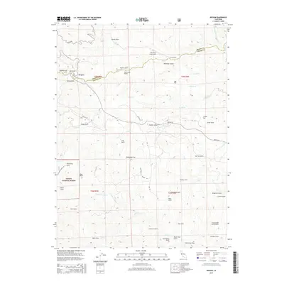 2015 Beegum2015 Print · USGSNorthern California's high-country terrain and the remote settlement of Beegum are documented here during the mid-2010s. Researchers can trace the rugged topography of the Trinity National Forest through landmarks like Patty mocus Butte and Rubberboot Gap.
 - 2018 Map of Beegum, 2018 Print
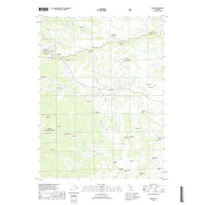 2018 Beegum2018 Print · USGSShasta and Tehama counties meet in this mountainous 2010s landscape where the Beegum settlement anchors a web of canyon roads. Researchers can trace the drainages of Beegum Cr or locate landmarks like Sugarloaf Mtn and Rubberboot Gap.
 - 2021 Map of Beegum, 2021 Print
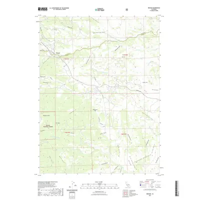 2021 Beegum2021 Print · USGSThe Shasta and Tehama county line meets near Beegum in this recent survey of the California mountains. Genealogists and hikers can trace the rugged network of gulches and ridges, from Patty mocus Butte to the crossing at Rubberboot Gap.
 - 2023 Map of Beegum, 2023 Print
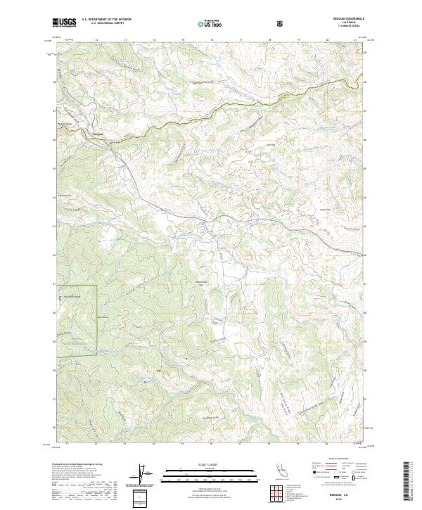 2023 Beegum2023 Print · USGSThe foothills of Tehama County appear here in the early 2020s, showing the remote settlement of Beegum and the edges of the Trinity National Forest. Researchers can trace the winding paths of Beegum Creek through Beegum Gorge and locate family landmarks such as Davis Flat and Wild Horse Ridge.
End of results
Showing maps 1-12 of 12
Frequently asked questions
- What are the different types of historical maps available for Beegum?
- What is the oldest map of Beegum?
- Where can I purchase historical maps of Beegum for my home or office?
- Where can I download high-res historical maps of Beegum?
- Are there historical topographic maps available for Beegum?
- Is there historical aerial imagery available for Beegum?
- Where are historical maps of Beegum sourced from?