Old Maps of Sattley, California for Genealogy
Trace your family roots with 13 historic maps of Sattley. These high-res maps reveal old neighborhoods, homesites, landmarks, and streets — helping you uncover where your ancestors lived and how the area evolved over time.
- Explore historic neighborhoods: Identify where your relatives may have lived in the 1800s or 1900s.
- Compare maps over time: Trace the changes in streets, buildings, and landmarks for multi-generational research.
- Perfect for genealogy & ancestry research: Used by family historians and researchers to map out lineage and migration.
These maps are an incredible resource for exploring your personal connection to Sattley's past.
Sattley, CA maps
(13)- 1890 Map of Sierraville, 1955 Print
 1890 Sierraville1955 Print · USGSThe high Sierra Valley and its frontier timber towns are captured here in the late 1800s. Genealogists and historians can trace early rail lines like the Nevada California and Oregon Railway and locate vanished stops and landmarks such as Etta, Purdy, and the Sulphur Spring.
 - 1892 Map of Sierraville
 1892 Sierraville1892 Print · USGSSierraville and the high meadows of the eastern Sierras are shown here in the early 1890s, just as the regional rail network was expanding. Genealogists can trace early homesteads and communities like Loyalton, Sattley, and Beckwith, or follow the California Nevada and Oregon Railway as it winds toward the state line.
 - 1894 Map of Sierraville
 1894 Sierraville1894 Print · USGSThe high Sierra and Plumas county borderlands are shown in the late nineteenth century as early settlements began to take root in the basin. Researchers can trace the path of the California Nevada and Oregon Railway and locate historic sites like Sierraville, the Fair Grounds, and Loyalton.9 unique versions available
 - 1955 Map of Sierraville, 1957 Print
 1955 Sierraville1957 Print · USGSSierraville and the Sierra Valley are captured in the mid-fifties during a period of transition for the region's timber and aviation sectors. Genealogists and historians can trace old homesteads and landmarks like Campbell Hot Springs, the Antelope Mine, and the Winnie Smith Mill (Ruins).3 unique versions available
 - 1958 Map of Chico, 1962 Print
 1958 Chico1962 Print · USGSMid-century Northern California comes to life across the Central Valley and high Sierras as the postwar economy transformed the landscape. Trace the rail lines of the Southern Pacific RR, locate family roots near Chico Cem, or explore the early layout of Paradise and Beale Air Force Base.4 unique versions available
 - 1960 Map of Chico
 1960 Chico1960 Print · USGSThe Northern California high country and Sacramento Valley meet in this 1960s-era landscape of mining towns and river settlements. Trace the rail-and-water economy of the gold country through the Empire Mine, Beale Air Force Base, and the Western Pacific Railroad.
 - 1979 Map of Portola, 1993 Print
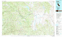 1979 Portola1993 Print · USGSThe northern Sierra Nevada and its timber-and-rail economy are captured here during the late seventies, spanning from the Feather River canyons to the high basins. Researchers can trace the path of the Western Pacific RR and locate historic hubs like Quincy, Portola, and Loyalton.2 unique versions available
 - 1981 Map of Sattley, 1982 Print
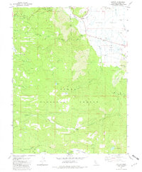 1981 Sattley1982 Print · USGSThe Sierra Valley meets the high timberlands of the Tahoe National Forest in the early 1980s. Trace the historic Henness Pass Road and locate the Nichols Mill (Site) or the seasonal Ahart Camp.2 unique versions available
 - 2000 Map of Sattley, 2003 Print
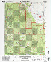 2000 Sattley2003 Print · USGSSierra County ranching and logging history are captured here at the turn of the millennium. Genealogists and researchers can trace the Nichols Mill (Site), the Sierraville Cemetery, and the historic Henness Pass route.
 - 2012 Map of Sattley, 2012 Print
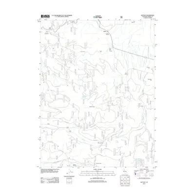 2012 Sattley2012 Print · USGSHigh Sierra terrain and historic transit routes define this mountain landscape in 2012. Researchers can trace the heritage of the region through landmarks like Sierraville Cem, the legacy of Nichols Mill, and remote outposts such as Ahart Camp.
 - 2015 Map of Sattley, 2015 Print
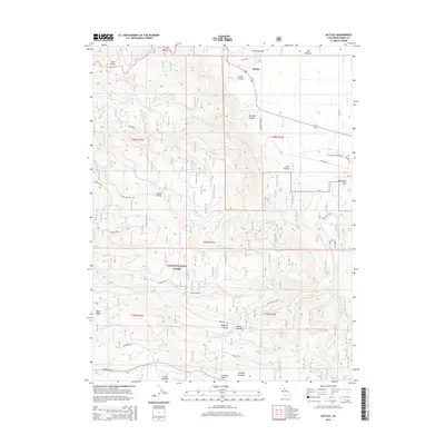 2015 Sattley2015 Print · USGSSattley and the surrounding Sierra Nevada highlands are shown in this modern survey of the Tahoe National Forest. Local historians can trace high-altitude routes like Henness Pass and Yuba Pass Rd or locate the Sierraville Cemetery.
 - 2018 Map of Sattley, 2018 Print
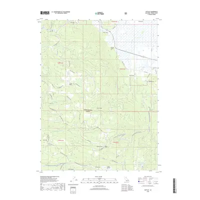 2018 Sattley2018 Print · USGSSierra Nevada high country is defined here by historic transit corridors and winter recreation loops in the late 2010s. Researchers can trace the legendary Hennness Pass, locate the Sierraville Cem, and explore remote landmarks like Coburn Lake and Lincoln Valley.
 - 2021 Map of Sattley, 2021 Print
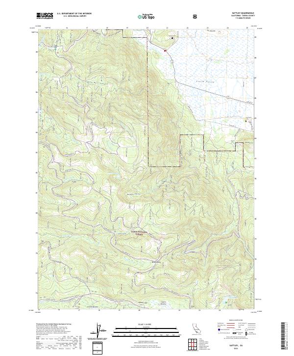 2021 Sattley2021 Print · USGSThe northern Sierra Nevada highlands meet the open expanse of the Sierra Valley in this detailed recent survey. Local historians can trace the paths of Henness Pass Rd and Yuba Pass Rd or locate the historic Sattley Cem and Sierraville Cem.
End of results
Showing maps 1-13 of 13
Top cities near Sattley
Frequently asked questions
- What are the different types of historical maps available for Sattley?
- What is the oldest map of Sattley?
- Where can I purchase historical maps of Sattley for my home or office?
- Where can I download high-res historical maps of Sattley?
- Are there historical topographic maps available for Sattley?
- Is there historical aerial imagery available for Sattley?
- Where are historical maps of Sattley sourced from?