Old Maps of Summerville, California for Academic Research
Study the evolution of Summerville with 12 high-resolution historic maps. Whether you're teaching, researching, or modeling changes in land use, these maps provide essential visual documentation of urban, environmental, and geographic change.
- Analyze long-term change: Track patterns in development, transportation, and natural features.
- Ideal for environmental or urban studies: Support academic projects with primary historical map data.
- Use in the classroom or lab: Educators and researchers rely on these maps to bring historical context to life.
These maps are a powerful tool for teaching, research, and visualizing how Summerville has changed over the decades.
Summerville, CA maps
(12)- 1948 Map of Weed, 1950 Print
 1948 Weed1950 Print · USGSNorthern California and Southern Oregon are captured here during the post-war era, documenting the mountain-and-valley economies of the Klamath and Cascade ranges. Trace the legacy of local mining and timber at the King Solomon Mine, find old schools like Siskiyou County School, and follow the historic Southern Pacific RR route.2 unique versions available
 - 1950 Map of Weed
 1950 Weed1950 Print · USGSSiskiyou County and the surrounding Klamath mountains appear in the mid-century before extensive modern development. Genealogists and local historians can locate remote outposts like the Lee Brown Ranch and the specialized settlement of Darlingtonia.
 - 1955 Map of Cecilville, 1957 Print
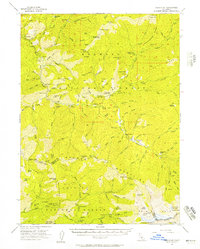 1955 Cecilville1957 Print · USGSThe Salmon River canyon in the mid-fifties remained a remote landscape of mining claims and isolated homesteads. Researchers can locate vanished settlements like Yoakumville and Summerville or trace old operations at the King Solomon Mine.5 unique versions available
 - 1958 Map of Weed, 1963 Print
 1958 Weed1963 Print · USGSThe Northern California high country of the late fifties is defined by the towering presence of Mt Shasta and the logging railroads of the Siskiyou range. Genealogists and researchers can trace remote mining sites like the China Mine and mountain settlements such as Sawyers Bar and Seiad Valley.3 unique versions available
 - 1963 Map of Weed
 1963 Weed1963 Print · USGSNorthern California during the early 1960s shows a landscape of steep mountain ranges and river-fed valleys at the height of the timber era. Researchers can trace the routes of the McCloud River RR, locate remote sites like the Holiday Mine, or find ancestral markers at the Scott Valley Cem.
 - 1979 Map of Thompson Peak
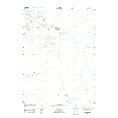
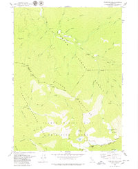 1979 Thompson Peak1979 Print · USGSThe Salmon River backcountry of Siskiyou and Trinity counties is captured here in the late seventies, a landscape of high-alpine basins and early mining traces. Researchers can locate the Moliter Mine, the mountain settlement of Summerville, and remote sites like Schoolhouse Flat.3 unique versions available
 - 1983 Map of Hoopa
 1983 Hoopa1983 Print · USGSThe Klamath and Trinity Rivers converge in the early eighties at Weitchpec, carving through a landscape of national forests and the Hoopa Indian Reservation. Researchers can trace remote settlements like Orleans and Cecilville or locate landmarks like Tish Tang Creek and English Peak.
 - 2001 Map of Thompson Peak, 2004 Print
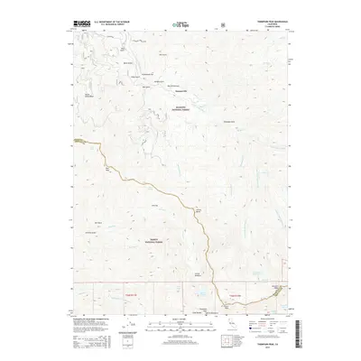
 2001 Thompson Peak2004 Print · USGSThe high wilderness of the Trinity Alps and the Salmon River corridor are captured here at the start of the millennium. Researchers can trace isolated family landmarks and early mining footprints at Petersburg Station, Schoolhouse Flat, and Moliter Cabin.2 unique versions available
 - 2012 Map of Thompson Peak, 2012 Print
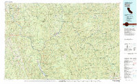
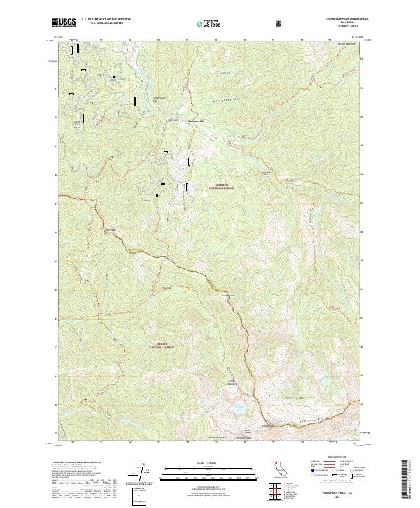
 2012 Thompson Peak2012 Print · USGSCovers Summerville, including Siskiyou County, Trinity County, and other nearby areas
 - 2015 Map of Thompson Peak, 2015 Print
 2015 Thompson Peak2015 Print · USGSCovers Summerville, including Siskiyou County, Trinity County, and other nearby areas
 - 2018 Map of Thompson Peak, 2018 Print
 2018 Thompson Peak2018 Print · USGSCovers Summerville, including Siskiyou County, Trinity County, and other nearby areas
 - 2022 Map of Thompson Peak, 2022 Print
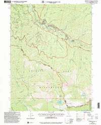
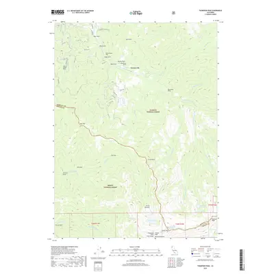
 2022 Thompson Peak2022 Print · USGSThe high Siskiyou and Trinity county lines meet here amidst the late-contemporary peaks of the Salmon Mountains. Hikers and historians can trace the paths of Summerville and Schoolhouse Flat, or locate remote alpine waters like Grizzly Lake and Lois Lake.
End of results
Showing maps 1-12 of 12
Top cities near Summerville
Frequently asked questions
- What are the different types of historical maps available for Summerville?
- What is the oldest map of Summerville?
- Where can I purchase historical maps of Summerville for my home or office?
- Where can I download high-res historical maps of Summerville?
- Are there historical topographic maps available for Summerville?
- Is there historical aerial imagery available for Summerville?
- Where are historical maps of Summerville sourced from?