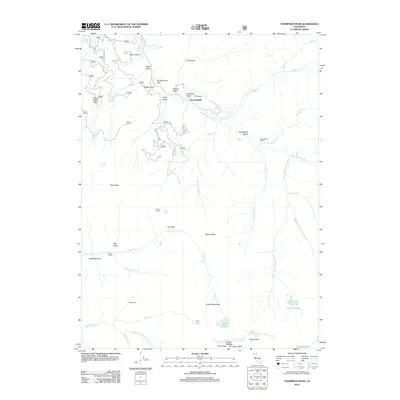
2012 Map of Thompson Peak
USGS Topo · Published 2012About this map
Summerville and the surrounding ranchlands sit at the heart of this high-elevation landscape within the Coast Ranges Trinity Alps. The geography is defined by a complex network of drainages feeding into the S Fork Salmon River, including the deep cuts of Ault Gulch and Rays Gulch. Evidence of human presence and land use in this isolated terrain is found at remote outposts such as Moliter Cabin, Bobs Farm, and the curiously named Schoolhouse Flat near the river’s edge.
Find a feature on this map
59 named features on this map. Tap any name to fly to it.
Don’t see what you’re looking for? This feature index may not catch every label — zoom into the map to look around manually.
Map Details
Editions of this 2012 Thompson Peak Map
This is the sole edition of this map. No revisions or reprints were ever made.
Other maps of this area

1886 · Shasta
USGS Topo · 1:250,000

1890 · Red Bluff
USGS Topo · 1:250,000

1894 · Red Bluff
USGS Topo · 1:250,000

1894 · Shasta
USGS Topo · 1:250,000

1909 · Big Bar
USGS Topo · 1:96,000

1913 · Weaverville
USGS Topo · 1:125,000

1915 · Big Bar and Vicinity
USGS Topo · 1:250,000

1923 · Sawyers Bar
USGS Topo · 1:125,000

1931 · Etna
USGS Topo · 1:96,000

1934 · Etna
USGS Topo · 1:125,000