Old Maps of Payne, California for Academic Research
Study the evolution of Payne with 12 high-resolution historic maps. Whether you're teaching, researching, or modeling changes in land use, these maps provide essential visual documentation of urban, environmental, and geographic change.
- Analyze long-term change: Track patterns in development, transportation, and natural features.
- Ideal for environmental or urban studies: Support academic projects with primary historical map data.
- Use in the classroom or lab: Educators and researchers rely on these maps to bring historical context to life.
These maps are a powerful tool for teaching, research, and visualizing how Payne has changed over the decades.
Payne, CA maps
(12)- 1931 Map of Hoaglin
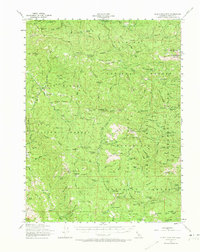
 1931 Hoaglin1931 Print · USGSThe Trinity and Van Duzen river systems define this high country during the early 1930s, when remote ranches and forest stations provided the primary human footprint. Researchers can trace family-named sites like Haine Ranch and Blossom Cabin, or locate the isolated Lake Mtn Sch.
 - 1935 Map of Hoaglin
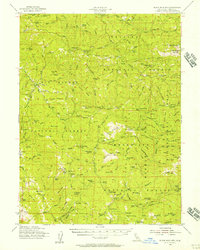
 1935 Hoaglin1935 Print · USGSTrinity and Mendocino counties are captured here in the mid-1930s, documenting a landscape of isolated valleys and mountain ranches. Researchers can trace family homesteads like Russ Place and Shannon Place or locate early schools including Cover Sch and Lake Mtn Sch.3 unique versions available
 - 1953 Map of Blackrock Mtn, 1973 Print
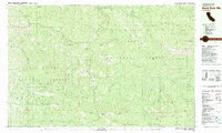
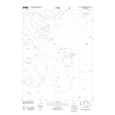
 1953 Blackrock Mtn1973 Print · USGSTrinity County's high wilderness reaches are captured here in the mid-1950s, showing a landscape of steep river forks and high ridges. Genealogy researchers and hikers can trace the Humboldt Trail, locate the Travis Ranch, or find early outposts like Martin Cabin and Double Cabins.
 - 1954 Map of Blackrock Mtn, 1957 Print
 1954 Blackrock Mtn1957 Print · USGSThe Trinity and Mendocino highlands are mapped here in the mid-fifties, showing a landscape of remote mountain lookouts and forest camps. Genealogists and researchers can trace isolated homesteads and mining claims like Travis Ranch, Bonanza Mine, and the Indian Dick Guard Station.3 unique versions available
 - 1958 Map of Redding
 1958 Redding1958 Print · USGSNorthern California's valley and mountain landscapes are captured in the late fifties, showing the region as new reservoirs reshaped the river systems. Genealogists and historians can trace rail-side towns like Cottonwood, the military presence at Red Bluff Air Force Station, and mountain outposts like Weaverville.5 unique versions available
 - 1979 Map of Garberville, 1996 Print
 1979 Garberville1996 Print · USGSThe redwood forests and river canyons of Humboldt and Trinity counties are shown here in the late seventies. Genealogists and historians can trace rail-side life along the Northwestern Pacific RR or locate small settlements like Fort Seward, Alderpoint, and Zenia.
 - 1981 Map of Black Rock Mtn
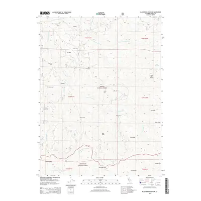
 1981 Black Rock Mtn1981 Print · USGSTrinity County's high-country terrain is documented here in the early eighties, where national forest boundaries and wilderness areas meet. Researchers can pinpoint old mining sites like the Bonanza Mine, landforms like Tombstone Rock, and the remote Black Rock Lake.
 - 1998 Map of Black Rock Mountain, 2003 Print
 1998 Black Rock Mountain2003 Print · USGSTrinity and Tehama counties appear here in the late nineties, documenting a landscape of high ridges and wilderness boundaries. Genealogists and hikers can locate the Blossom Cabin Site, Jensen Cabin Site, and the remote Black Rock Mtn Lookout.
 - 2012 Map of Black Rock Mountain, 2012 Print
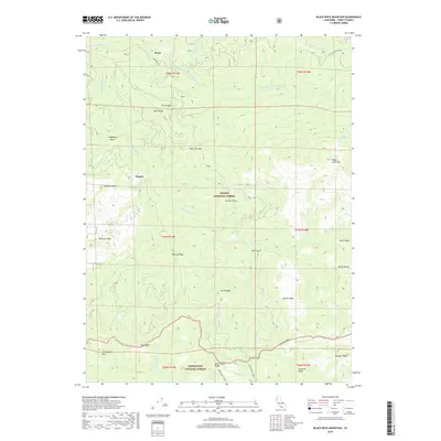
 2012 Black Rock Mountain2012 Print · USGSCovers Payne, including Penney, Trinity County, and other nearby areas
 - 2015 Map of Black Rock Mountain, 2015 Print
 2015 Black Rock Mountain2015 Print · USGSCovers Payne, including Penney, Trinity County, and other nearby areas
 - 2018 Map of Black Rock Mountain, 2018 Print
 2018 Black Rock Mountain2018 Print · USGSCovers Payne, including Penney, Trinity County, and other nearby areas
 - 2021 Map of Black Rock Mountain, 2021 Print
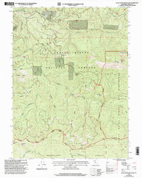
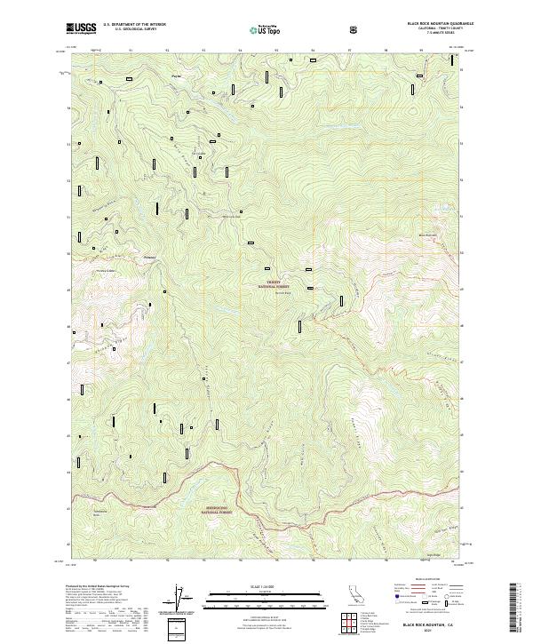 2021 Black Rock Mountain2021 Print · USGSTrinity and Mendocino National Forests meet in this modern survey of northern California's high-ridge country. Researchers can trace forest management boundaries like the Bolly Boundary or locate remote landmarks including Hermit Rock and Black Rock Lake.
End of results
Showing maps 1-12 of 12
Frequently asked questions
- What are the different types of historical maps available for Payne?
- What is the oldest map of Payne?
- Where can I purchase historical maps of Payne for my home or office?
- Where can I download high-res historical maps of Payne?
- Are there historical topographic maps available for Payne?
- Is there historical aerial imagery available for Payne?
- Where are historical maps of Payne sourced from?