
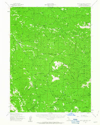
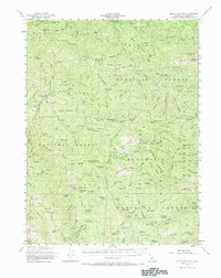
1954 Map of Blackrock Mtn
USGS Topo · Published 1957About this map
Black Rock Mtn Lookout stands as a primary vantage point in this mid-century survey of the California wilderness, where the boundaries of the Trinity National Forest, Six Rivers National Forest, and Mendocino National Forest converge. The landscape is defined by the deep canyons of the South Fork Trinity River and the Middle Fork Eel River, separated by a complex network of high ridges including Jones Ridge and Fisher Ridge.
Find a feature on this map
157 named features on this map. Tap any name to fly to it.
Don’t see what you’re looking for? This feature index may not catch every label — zoom into the map to look around manually.
Map Details
Editions of this 1954 Blackrock Mtn Map
3 editions found
Other maps of this area

1890 · Red Bluff
USGS Topo · 1:250,000

1894 · Red Bluff
USGS Topo · 1:250,000

1918 · Anada
USGS Topo · 1:62,500

1920 · Covelo
USGS Topo · 1:62,500

1921 · Hoaglin
USGS Topo · 1:62,500

1922 · Island Mountain
USGS Topo · 1:62,500

1926 · Covelo
USGS Topo · 1:62,500

1931 · Hoaglin
USGS Topo · 1:96,000

1935 · Hoaglin
USGS Topo · 1:125,000

1951 · Chanchelulla Peak
USGS Topo · 1:62,500