Old Maps of Pagosa Springs, Colorado for Hiking & Exploration
Hike through history with 32 historic maps of Pagosa Springs. Explore old trails, ghost towns, and forgotten backroads — perfect for outdoor adventurers and local explorers.
- Rediscover forgotten places: Map out old mining camps, roads, and footpaths that no longer exist on modern maps.
- Layer with modern tools: Combine with LiDAR or satellite views to plan hikes through historical terrain.
- Made for exploration: Popular among hikers, overlanders, and local history lovers.
Use these maps to find adventure and explore the hidden past of Pagosa Springs.
Pagosa Springs, CO maps
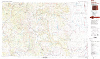
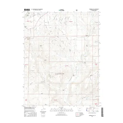
(32)- 1913 Map of Summitville, 1962 Print
 1913 Summitville1962 Print · USGSThe high San Juan Mountains at the turn of the century are captured here, from the gold-mining district at Summitville to the ranchlands of the Navajo River valley. Genealogists and historians can trace early school sites like Blanco School and working mines including the Asiatic Mine and Forest King Mine.
 - 1915 Map of Summitville
 1915 Summitville1915 Print · USGSSouthern Colorado mining and timber operations are captured here during the early twentieth century. Researchers can trace remote mining claims like the Asiatic Mine, mountain schools such as Blanco School, and the path of the Logging RR.4 unique versions available
 - 1924 Map of Pagosa Springs, 1958 Print
 1924 Pagosa Springs1958 Print · USGSArchuleta County comes into focus in the 1920s as a vital mountain corridor defined by the San Juan and Piedra rivers. Genealogists and historians can trace the Denver and Rio Grande Western rail line and discover remote schoolhouses like Stollsteimer School and O'Neal Park School.2 unique versions available
 - 1927 Map of Pagosa Springs
 1927 Pagosa Springs1927 Print · USGSThe high country of the San Juan Mountains comes into focus in the 1920s as ranching and rail reach into the river valleys. Genealogists and historians can trace the Denver and Rio Grande Western line through Pagosa Junction and locate old rural hubs like Yellowjacket School.3 unique versions available
 - 1945 Map of Durango
 1945 Durango1945 Print · USGSSouthwest Colorado and Northern New Mexico at mid-century are defined by the high peaks of the San Juan Range and the tribal lands of the Southern Ute. Genealogists and historians can trace the paths of the D & R G W RR and locate local landmarks like Animas City and the Blanco Basin School.3 unique versions available
 - 1953 Map of Durango, 1963 Print
 1953 Durango1963 Print · USGSThe high peaks of the San Juan Mountains and the Colorado mining country are shown here as they appeared in the early fifties. Genealogists and local historians can trace the rail lines of the D & R G W RR and locate historic mining camps like Silverton, Ouray, and Old Ophir.
 - 1954 Map of Durango
 1954 Durango1954 Print · USGSSouthern Colorado in the mid-1950s was defined by high-altitude mining towns and the expansion of water storage in the San Luis Valley. Trace the narrow-gauge Denver & Rio Grande Western RR as it connects Durango to mountain outposts like Silverton and Creede.2 unique versions available
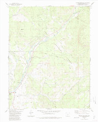
 - 1957 Map of Wolf Creek Pass, 1959 Print
 1957 Wolf Creek Pass1959 Print · USGSThe high San Juan peaks and ranching valleys are captured here in the late fifties, just as mountain access and national forest management were expanding. Researchers can trace historic family-named sites like Hott Ranch or locate the Red Ryder Rodeo Grounds and Treasure Guard Station.6 unique versions available
 - 1957 Map of Pagosa Junction, 1959 Print
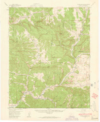 1957 Pagosa Junction1959 Print · USGSThe Colorado and New Mexico borderlands come to life in the late fifties, where the D & R G W RR tracks the San Juan River. Researchers can trace the layout of small settlements like Pagosa Junction and Trujillo or locate family landmarks near Villareal.4 unique versions available
 - 1961 Map of Durango
 1961 Durango1961 Print · USGSThe high San Juan country in the early sixties is shown here as a network of historic mining towns and early reservoir projects. Genealogists and researchers can trace the Denver & Rio Grande Western RR as it connects Durango, Silverton, and Arboles.
 - 1963 Map of Durango
 1963 Durango1963 Print · USGSThe San Juan Mountains and San Luis Valley are captured here in the early 1950s as mining, rail, and tribal lands shaped the region. Researchers can trace the Denver & Rio Grande Western RR through high-country towns like Telluride and Silverton, or locate landmarks such as the Asiatic Mine.
 - 1964 Map of Pagosa Springs, 1967 Print
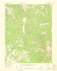
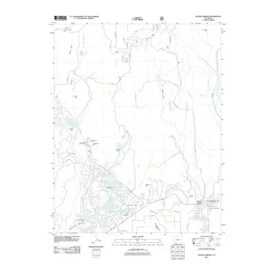
 1964 Pagosa Springs1967 Print · USGSPagosa Springs sits along the San Juan River in the mid-1960s as a hub for forestry and valley ranching. Trace mid-century landmarks like Stevens Airfield, Hilltop Cem, and the Pagosa Springs Job Corps among the foothills of the San Juan National Forest.3 unique versions available
 - 1966 Map of Durango
 1966 Durango1966 Print · USGSSouthwestern Colorado and the New Mexico borderlands are shown here in the mid-1960s, a time when the narrow-gauge rail network still tied the high peaks to the valley floor. Researchers can trace the Denver & Rio Grande Western Railroad between settlements like Silverton, Antonito, and Pagosa Springs.2 unique versions available
 - 1983 Map of Durango
 1983 Durango1983 Print · USGSSouthwestern Colorado at the start of the 1980s shows a landscape where high-mountain wilderness meets the agricultural plateaus of the Southern Ute. Genealogists and historians can trace the Durango & Silverton Narrow Gauge Railroad or locate sites like Southern Ute Agency and Pagosa Junction.
 - 1984 Map of Oak Brush Hill
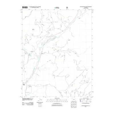
 1984 Oak Brush Hill1984 Print · USGSThe Southern Ute Reservation and San Juan National Forest meet in this 1980s study of the high mesas and river canyons. Researchers can trace the Old Indian Treaty Boundary and locate landmarks like Echo Canyon Reservoir and Oak Brush Hill.
 - 1984 Map of Jackson Mountain
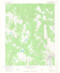
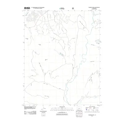
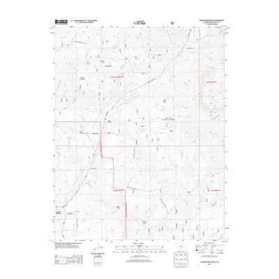
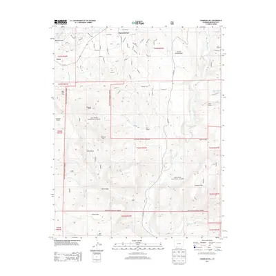
 1984 Jackson Mountain1984 Print · USGSThe mountain landscape surrounding Pagosa Springs comes into focus during the mid-eighties as a hub of forest management and river valley life. Genealogists and historians can trace local landmarks like the Rodeo Ground, the Guard Sta, and family-named features such as Jackson Mountain.4 unique versions available
 - 1985 Map of Antonito
 1985 Antonito1985 Print · USGSThe Colorado and New Mexico borderlands come into focus during the mid-eighties as the high peaks of the San Juans meet the San Luis Valley. Trace the winding Cumbres and Toltec Scenic Railroad or locate historical mining sites like the Black Diamond Mine and Summitville.2 unique versions available
 - 2011 Map of Oakbrush Hill, 2011 Print
 2011 Oakbrush Hill2011 Print · USGSCovers Pagosa Springs, including Archuleta County, United States, and other nearby areas
 - 2011 Map of Jackson Mountain, 2011 Print
 2011 Jackson Mountain2011 Print · USGSCovers Pagosa Springs, including Treasure, Archuleta County, and other nearby areas
 - 2011 Map of Pagosa Springs, 2011 Print
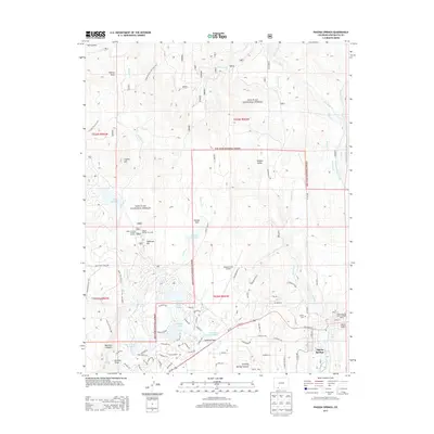
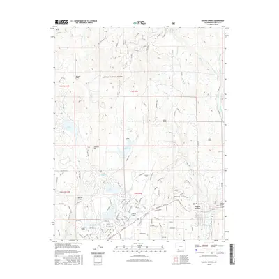
 2011 Pagosa Springs2011 Print · USGSCovers Pagosa Springs, including Archuleta County, United States, and other nearby areas
 - 2013 Map of Jackson Mountain, 2013 Print
 2013 Jackson Mountain2013 Print · USGSCovers Pagosa Springs, including Treasure, Archuleta County, and other nearby areas
 - 2013 Map of Oakbrush Hill, 2013 Print
 2013 Oakbrush Hill2013 Print · USGSCovers Pagosa Springs, including Archuleta County, United States, and other nearby areas
 - 2013 Map of Pagosa Springs, 2013 Print
 2013 Pagosa Springs2013 Print · USGSCovers Pagosa Springs, including Archuleta County, United States, and other nearby areas
 - 2016 Map of Pagosa Springs, 2016 Print
 2016 Pagosa Springs2016 Print · USGSCovers Pagosa Springs, including Archuleta County, United States, and other nearby areas
 - 2016 Map of Oakbrush Hill, 2016 Print
 2016 Oakbrush Hill2016 Print · USGSCovers Pagosa Springs, including Archuleta County, United States, and other nearby areas
Showing maps 1-25 of 32
Frequently asked questions
- What are the different types of historical maps available for Pagosa Springs?
- What is the oldest map of Pagosa Springs?
- Where can I purchase historical maps of Pagosa Springs for my home or office?
- Where can I download high-res historical maps of Pagosa Springs?
- Are there historical topographic maps available for Pagosa Springs?
- Is there historical aerial imagery available for Pagosa Springs?
- Where are historical maps of Pagosa Springs sourced from?