2000s (21st Century) Maps of Platoro, Colorado
Explore 6 historic maps of Platoro from the 2000s (21st Century). These maps offer a rare glimpse into what life looked like during the 2000s — showing old roads, neighborhoods, homes, and landmarks that have changed or disappeared over time.
Whether you're researching your family's past, planning a metal detecting trip, or studying how Platoro's landscape evolved across the 2000s, these high-resolution maps are a powerful tool for exploring the history of this region.
- Focus on a specific era: All maps on this page are from the 2000s, giving you a focused view of this time period.
- See what’s changed: Compare century-old streets, trails, and buildings to today's modern landscape using overlays and satellite layers.
- Research with precision: Use these maps for genealogy, historical research, land use analysis, or educational projects.
- View, download, or print: Maps are fully viewable online in high resolution, and can be downloaded or printed for your own records.
Start exploring Platoro's history through authentic maps from the 2000s. This is your window into the past.
Platoro, CO maps
(6)- 2001 Map of Platoro, 2005 Print
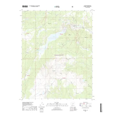
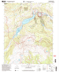 2001 Platoro2005 Print · USGSThe high-country mining and ranching traditions of Conejos County are captured here at the turn of the twenty-first century. Genealogists and historians can trace the Stock Driveway, locate the Mammoth Revenue Mine, and explore the upper Conejos River near Platoro.
 - 2011 Map of Platoro, 2011 Print
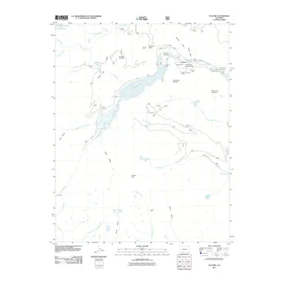 2011 Platoro2011 Print · USGSCovers Platoro, including Conejos County, United States, and other nearby areas
 - 2013 Map of Platoro, 2013 Print
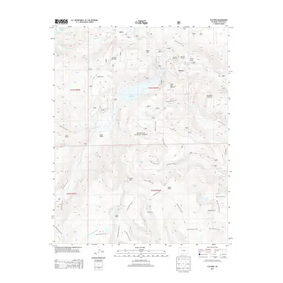 2013 Platoro2013 Print · USGSCovers Platoro, including Conejos County, United States, and other nearby areas
 - 2016 Map of Platoro, 2016 Print
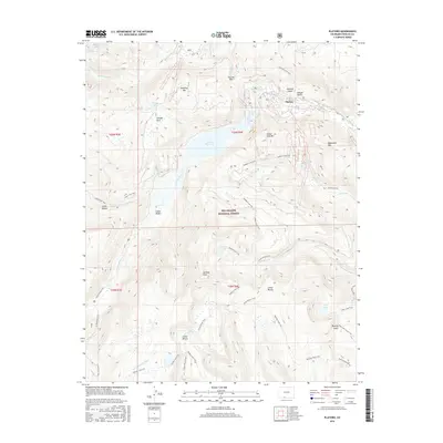 2016 Platoro2016 Print · USGSCovers Platoro, including Conejos County, United States, and other nearby areas
 - 2019 Map of Platoro, 2019 Print
 2019 Platoro2019 Print · USGSCovers Platoro, including Conejos County, United States, and other nearby areas
 - 2022 Map of Platoro, 2022 Print
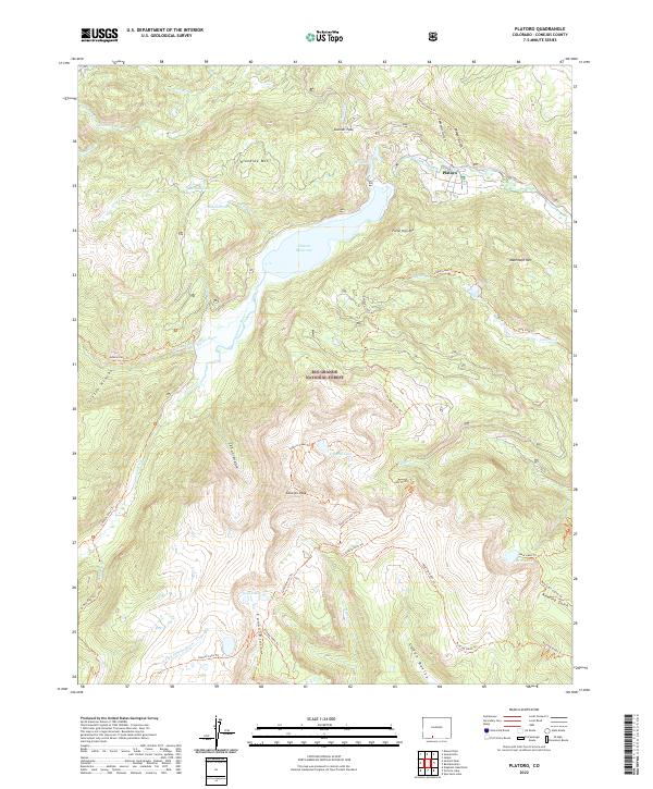 2022 Platoro2022 Print · USGSThe high mountain settlement of Platoro and the headwaters of the Conejos River are shown here as they appeared in 2022. Trace backcountry routes like the Tobacco Lake Trl to Conejos Peak or follow the Adams Fork Trl through the Rio Grande National Forest.
End of results
Showing maps 1-6 of 6
Frequently asked questions
- What are the different types of historical maps available for Platoro?
- What is the oldest map of Platoro?
- Where can I purchase historical maps of Platoro for my home or office?
- Where can I download high-res historical maps of Platoro?
- Are there historical topographic maps available for Platoro?
- Is there historical aerial imagery available for Platoro?
- Where are historical maps of Platoro sourced from?