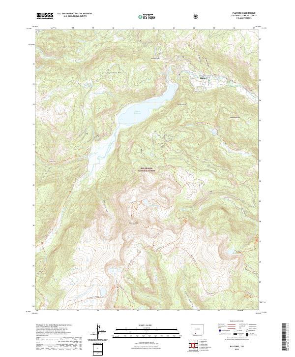
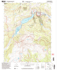
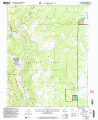
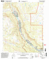
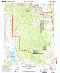
2022 Map of Platoro
USGS Topo · Published 2022About this map
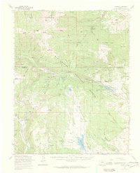
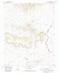
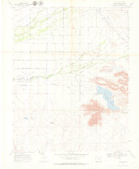
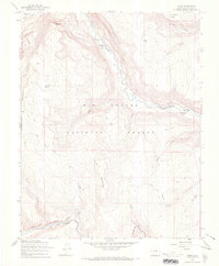
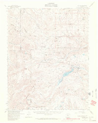
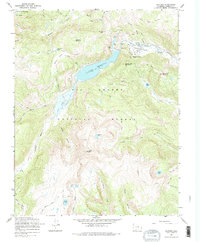
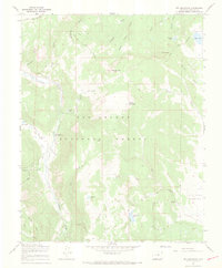
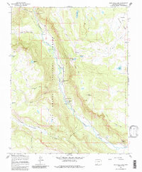
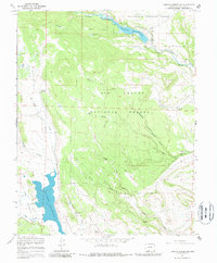
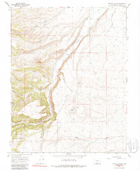
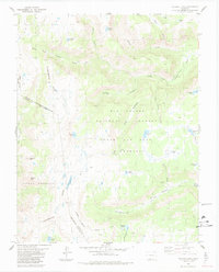
The high mountain settlement of Platoro sits at the northern edge of this high-altitude survey, serving as a gateway to the surrounding peaks and basins. This portion of the Rio Grande National Forest is defined by its complex hydrology, centered on the Platoro Reservoir and the Conejos River. The landscape is a network of named drainages and basins, including Cañon Diablo, Cañon Rincon, and Cañon Bonito, which funnel seasonal snowmelt toward the valley floors.
Find a feature on this map
55 named features on this map. Tap any name to fly to it.
Don’t see what you’re looking for? This feature index may not catch every label — zoom into the map to look around manually.
Map Details
Editions of this 2022 Platoro Map
This is the sole edition of this map. No revisions or reprints were ever made.
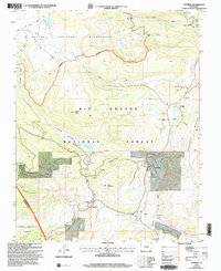
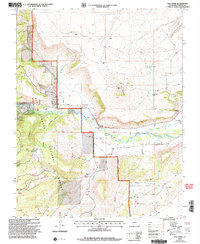
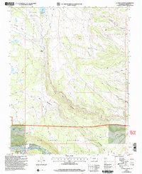
Historical Maps of Platoro Through Time
42 maps found
1967 Centro
Conejos County, CO

1967 Cumbres
Conejos County, CO
1967 Fox Creek
Conejos County, CO
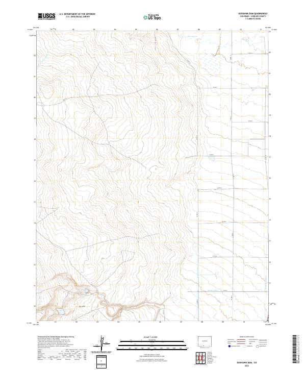
1967 Goshawk Dam
Conejos County, CO
1967 Jasper
Conejos County, CO
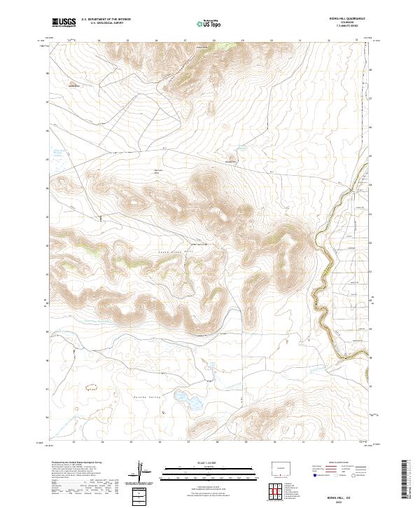
1967 Kiowa Hill
Conejos County, CO
1967 La Jara Canyon
Conejos County, CO
1967 Lobatos
Conejos County, CO

1967 Manassa NE
Conejos County, CO
1967 Osier
Conejos County, CO
1967 Platoro
Conejos County, CO
1967 Platoro
Conejos County, CO
1967 Red Mountain
Conejos County, CO
1967 Spectacle Lake
Conejos County, CO
1967 Terrace Reservoir
Conejos County, CO
1967 Vicente Canyon
Conejos County, CO
1968 Pikes Stockade
Conejos County, CO
1984 Victoria Lake
Conejos County, CO
2001 Cumbres
Conejos County, CO
2001 Fox Creek
Conejos County, CO
2001 La Jara Canyon
Conejos County, CO
2001 Platoro
Conejos County, CO
2001 Red Mountain
Conejos County, CO
2001 Spectacle Lake
Conejos County, CO
2001 Terrace Reservoir
Conejos County, CO
2001 Victoria Lake
Conejos County, CO
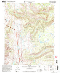
2022 Centro
Conejos County, CO
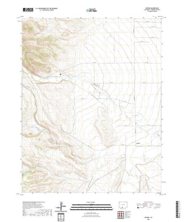
2022 Cumbres
Conejos County, CO
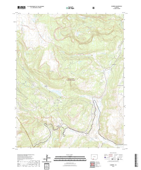
2022 Fox Creek
Conejos County, CO
2022 Goshawk Dam
Conejos County, CO
2022 Kiowa Hill
Conejos County, CO
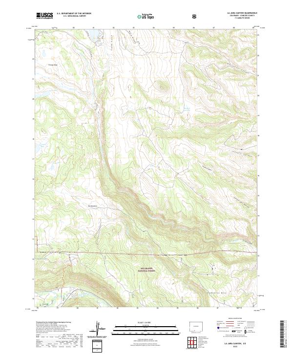
2022 La Jara Canyon
Conejos County, CO
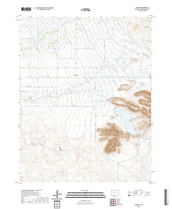
2022 Lobatos
Conejos County, CO
2022 Manassa NE
Conejos County, CO
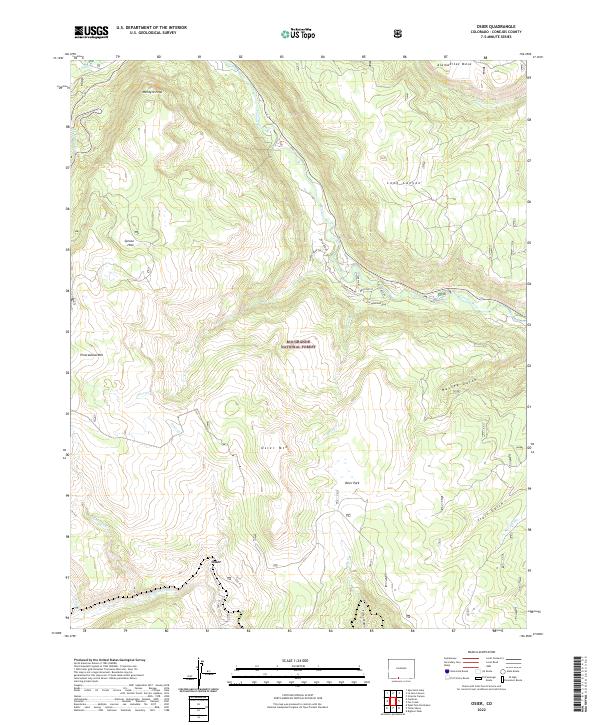
2022 Osier
Conejos County, CO
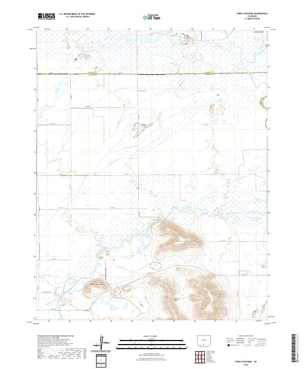
2022 Pikes Stockade
Conejos County, CO
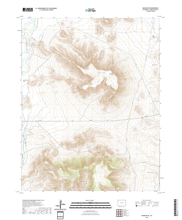
2022 Platoro
Conejos County, CO
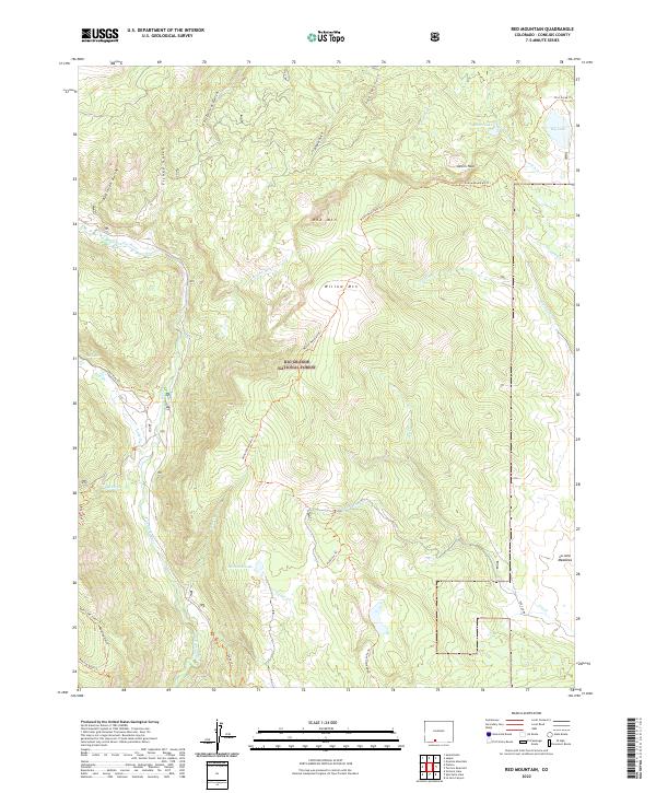
2022 Red Mountain
Conejos County, CO
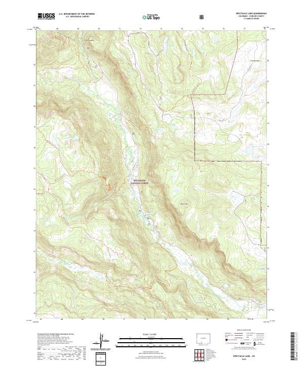
2022 Spectacle Lake
Conejos County, CO
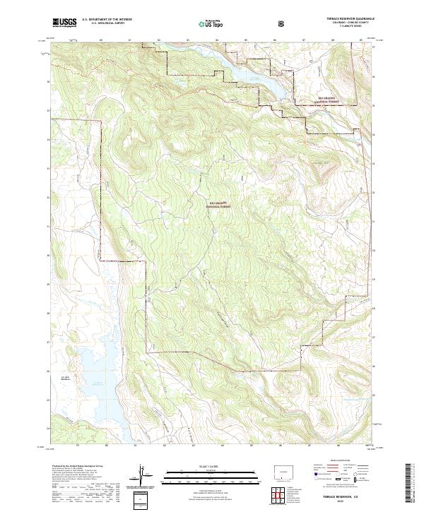
2022 Terrace Reservoir
Conejos County, CO
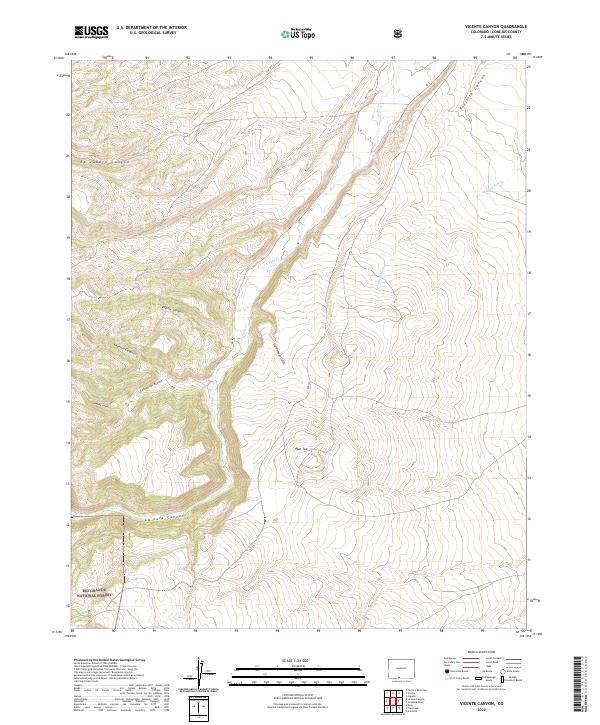
2022 Vicente Canyon
Conejos County, CO
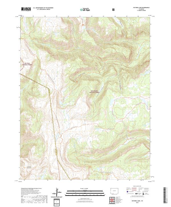
2022 Victoria Lake
Conejos County, CO