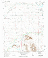
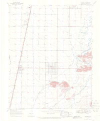
1968 Map of Pikes Stockade
USGS Topo · Published 1985About this map
Pikes Stockade (Historic Site) marks a pivotal location along the Conejos River in this high-desert landscape, reflecting early exploration and frontier history. The terrain is defined by the volcanic rises of the San Luis Hills, including prominent peaks like Sierra Del Ojito and Saddleback Mountain. This survey illustrates a complex water management system essential for agriculture in the San Luis Valley, featuring an extensive network of irrigation channels such as the Tenfoot Lateral, Twentyfoot Lateral, and Lasauses Ditch. To the northeast, the Alamosa Nat Wildlife Refuge sits along the Rio Grande, where the Hansen Bluff Slough and numerous flowing wells indicate the importance of the valley's artesian water. Geologists and local historians can trace the specific diversions and springs, including McIntire Spring and Dexter Spring, that have sustained this region since the late 19th century.
Find a feature on this map
26 named features on this map. Tap any name to fly to it.
Don’t see what you’re looking for? This feature index may not catch every label — zoom into the map to look around manually.
Map Details
Editions of this 1968 Pikes Stockade Map
2 editions found
Other maps of this area

1954 · Trinidad
USGS Topo · 1:250,000

1955 · Trinidad
USGS Topo · 1:250,000

1958 · Trinidad
USGS Topo · 1:250,000

1959 · Trinidad
USGS Topo · 1:250,000

1965 · Baldy
USGS Topo · 1:24,000

1965 · Lasauses
USGS Topo · 1:24,000
1966 · Alamosa East
USGS Topo · 1:24,000
1966 · Alamosa West
USGS Topo · 1:24,000

1967 · Manassa NE
USGS Topo · 1:24,000
1967 · Manassa
USGS Topo · 1:24,000