
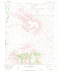
1967 Map of Manassa NE
USGS Topo · Published 1971About this map
The San Luis Hills rise above the confluence of ancient irrigation networks and mountain waterways in this late 1960s study of Conejos County. The landscape is defined by the winding Conejos River and Rio San Antonio, which feed a complex system of gravity-fed waterworks including the East Bend Ditch and Eightmile Ditch. These ditches underscore the region's long-standing reliance on communal water management to sustain high-altitude agriculture.
Find a feature on this map
16 named features on this map. Tap any name to fly to it.
Don’t see what you’re looking for? This feature index may not catch every label — zoom into the map to look around manually.
Map Details
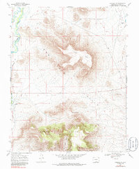
Editions of this 1967 Manassa NE Map
3 editions found
Other maps of this area

1954 · Trinidad
USGS Topo · 1:250,000

1955 · Trinidad
USGS Topo · 1:250,000

1958 · Trinidad
USGS Topo · 1:250,000

1959 · Trinidad
USGS Topo · 1:250,000

1965 · Lasauses
USGS Topo · 1:24,000
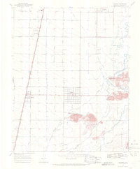
1967 · Manassa
USGS Topo · 1:24,000
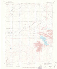
1967 · Lobatos
USGS Topo · 1:24,000
1967 · Sky Valley Ranch
USGS Topo · 1:24,000
1967 · Kiowa Hill
USGS Topo · 1:24,000
1967 · Mesito Reservoir
USGS Topo · 1:24,000